Menands in Albany County, New York — The American Northeast (Mid-Atlantic)
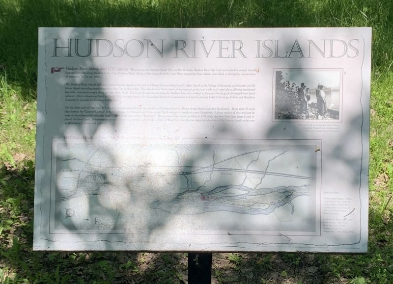
Hudson River Islands
Hudson River Island and I-787 Overlay This section of Interstate Route 787and the Mohawk-Hudson Bike-Hike Trail are located on several islands that used to exist along the west bank of the Hudson River. Some of the channels of the Little River separating these islands were filled in during construction of Interstate 787 in the 1960’s.
The Hudson River islands included Lower Patroon Island in the City of Albany, Patroons Island and Cuylers Island in the Village of Menands, and Breaker or Hillhouse Island extending from Menands to the City of Watervliet. The islands were the location of amusement parks, race tracks, and a steel plant, all long abandoned (see other interpretive signs along the Bike-Hike Trail). The lowlands and islands along the Hudson River were subject to frequent flooding which limited their development. After a disastrous flood in March 1913, the state created Sacandaga Reservoir ( also known as the Great Sacandaga Lake) in Saratoga, Fulton, and Hamilton Counties to regulate the Hudson River’s flow.
On the other side of Interstate 787, the Erie Canal extended from its entrance at Colonie Street in Albany along what is now Erie Boulevard. More than 30 canal slips formed the “Lumber District” in North Albany. In Menands and Colonie the Erie Canal was located just east of Broadway. A short section of the canal can be seen on Broadway at the Schuyler Flatts Cultural Park just south of Watervliet. This section of the canal was filled in 1916 when the New York State Barge Canal replaced the Erie Canal. The eastern terminus is now further north on the Hudson River at Waterford. Interpretative signs for other sites of the historic canal can be seen in Watervliet, Colonie, and Cohoes.
(photo) Photo of People on the Hudson River Shore. Steamboat ”Trojan” in the Background. (Courtesy Colonie Town Historian)
Topics. This historical marker is listed in these topic lists: Roads & Vehicles • Waterways & Vessels. A significant historical month for this entry is March 1913.
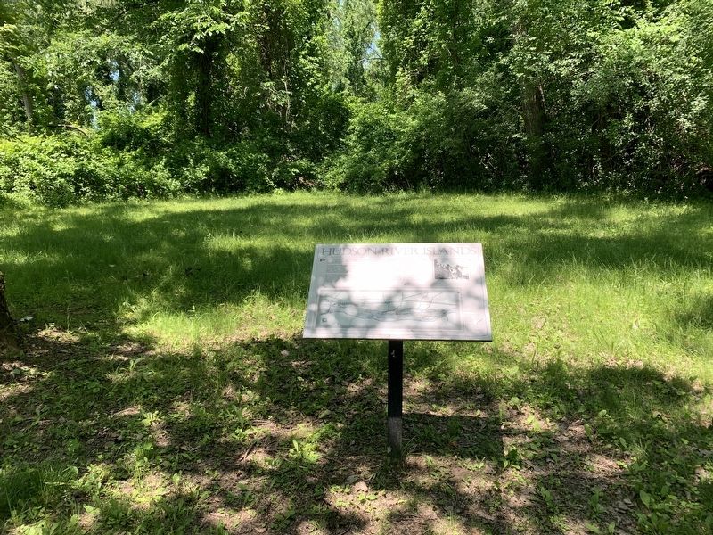
Location. 42° 41.091′ N, 73° 43.033′ W. Marker is in Menands, New York, in Albany County. Marker can be reached from Broadway south of 4th Street, on the right when traveling north. Touch for map. Marker is in this post office area: Albany NY 12204, United States of America. Touch for directions.
Other nearby markers. At least 8 other markers are within 2 miles of this marker, measured as the crow flies. Al-Tro Park (approx. 0.2 miles away); Saint Agnes Cemetery (approx. 1.4 miles away); Troy Steel & Iron Co. (approx. 1.4 miles away); The Erie Canal (approx. 1.4 miles away); Historic Albany Rural Cemetery (approx. 1.4 miles away); Schuyler Flatts (approx. 1˝ miles away); David Defreest (approx. 1˝ miles away); Little Red Schoolhouse (approx. 1.6 miles away). Touch for a list and map of all markers in Menands.
More about this marker. The marker is on the Mohawk Hudson Bike-Hike Trail, part of the Empire State Trail. It is not accessible by car. The nearest assess point is the Mohawk-Hudson Bike Trail, Watervliet Parking at the east end of 4th Street in Watervliet.
Also see . . .
1. Mohawk Hudson Bike Hike Trail. (Submitted on June 27, 2023, by Michael Herrick of Southbury, Connecticut.)
2. Empire State Trail. (Submitted on June 27, 2023, by Michael Herrick of Southbury, Connecticut.)
Credits. This page was last revised on June 27, 2023. It was originally submitted on June 24, 2023, by Steve Stoessel of Niskayuna, New York. This page has been viewed 109 times since then and 42 times this year. Photos: 1, 2. submitted on June 24, 2023, by Steve Stoessel of Niskayuna, New York. • Michael Herrick was the editor who published this page.

