Seneca in Montgomery County, Maryland — The American Northeast (Mid-Atlantic)
Seneca Creek: “A Raging River”
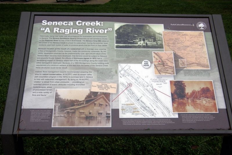
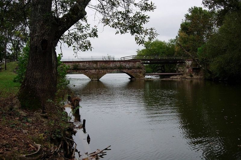
Historically, being near water was advantageous for businesses and homeowners in Seneca. The Seneca Sandstone Quarry transported cut red sandstone blocks on the Potomac River by way of the C & O Canal. The Seneca Grist Mill relied on the power of Seneca Creek to propel its waterwheel. During the summer, local residents used both bodies of water to produce goods that put food on the table.
Seneca’s location at the mouth of a watershed with a drainage area covering a third of Montgomery County, however, made this community vulnerable. By the 1950s, developers predicted as the predominantly rural agricultural nature of the Seneca Basin became more developed, that Seneca would be subject to frequent and powerful floods. Indeed, the effects of Hurricane Agnes in 1972 had a devastating impact on Seneca, where half of the 40 buildings along the creek were either damaged or destroyed. Because of a 1965 Montgomery County building code requirement of a minimum setback of 500 feet from the banks of the Seneca Creek, these structures could not be rebuilt.
Instead, flood management experts recommended acquiring this area for nature conservation. M-NCPPC used its stream valley park acquisition program in the 1970s to purchase land in Seneca to help with watershed management. By doing so, M-NCPPC created “a retreat from urban pressures … provid(ing) an unlimited amount of scenic attributes including diversified (water)scapes, areas of picturesque terrain, and a wide variety of flora and fauna.”
Photo captions:
- As this 1879 map shows, development along Seneca Creek was minimal and remained so for another hundred years. The Seneca Grist mill, as identified on the insert map, was know locally as the Darby and later, Tschiffely Mill.
- The Johnstown, Pennsylvania flood of 1936 left a path of destruction in Seneca. Water reached the second floor windows of Hattie Griffith’s Riverside Inn. Her ca. 1924 business did not reopen again until 1939. By the early 1970s, it was known as “Hotel Seneca”.
- Some 26 years later, Hotel Seneca was destroyed again by flooding. Despite the risks, then proprietor Phil Sample said “I wouldn’t have invested $75,000 in property in Seneca if I hadn’t been sold on its potentialities" (sic).
- Flooding was not the only difficulty for local businesses. Miller Worthington Tschiffely recalled that when cold weather set in, eels began their migration from Seneca Creek to the Potomac River. As they did, the “eels would get in the millrace and would be so plentiful they would actually interfere with the operations of the wheel, and would have to be take out, a problem in itself.”
- When “Camp Seneca”
was platted in 1927, it included a racial covenant preventing the sale of land within it to anyone “of African descent.” This exclusion prevented African Americans from equal access to property fronting Seneca Creek, an act of discrimination typical, during the Jim Crow era.
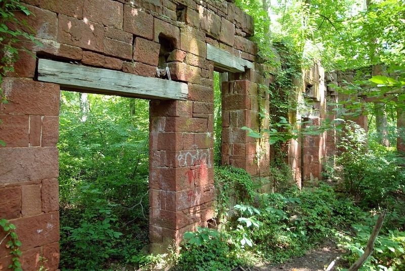
- By the time “Camp Seneca” was developed, the Seneca Sandstone Quarry had been closed for almost 25 years. At its peak in 1855, this quarry supplied “redstone” to major local construction projects including the Smithsonian Institution building, better known as “The Castle.”
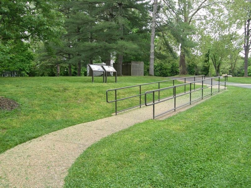
Erected by Montgomery Parks.
Topics. This historical marker is listed in these topic lists: Industry & Commerce • Parks & Recreational Areas • Waterways & Vessels. A significant historical year for this entry is 1972.
Location. 39° 4.285′ N, 77° 20.479′ W. Marker is in Seneca, Maryland, in Montgomery County. Marker is on Rileys Lock Road south of River Road, on the left when traveling south. Touch for map. Marker is at or near this postal address: Seneca Creek Aqueduct, Poolesville MD 20837, United States of America. Touch for directions.
Other nearby markers. At least 8 other markers are within walking distance of this marker. Seneca: “Average Man’s Resort” (a few steps from this marker); Rowser’s Ford (approx. 0.2 miles away); Seneca (approx. 0.2 miles away); A Veteran’s Life in Montgomery County (approx. 0.6 miles away); Seneca Mills During the Civil War (approx. 0.6 miles away); Seneca Store (approx. 0.6 miles away); Seneca Mill (approx. 0.6 miles away); a different marker also named Seneca Store (approx. 0.6 miles away). Touch for a list and map of all markers in Seneca.
Also see . . .
1. Seneca Creek (Potomac River tributary). Wikipedia entry (Submitted on June 25, 2023, by Larry Gertner of New York, New York.)
2. Seneca Quarry. Wikipedia entry (Submitted on June 25, 2023, by Larry Gertner of New York, New York.)
Credits. This page was last revised on July 9, 2023. It was originally submitted on June 25, 2023, by Larry Gertner of New York, New York. This page has been viewed 87 times since then and 15 times this year. Photos: 1, 2, 3, 4. submitted on June 25, 2023, by Larry Gertner of New York, New York.


