Monterey Park in Los Angeles County, California — The American West (Pacific Coastal)
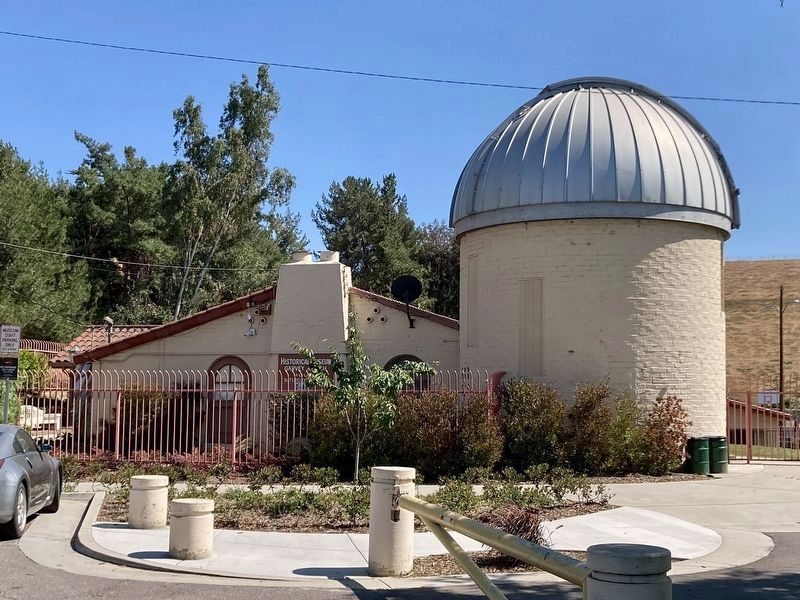
Garvey Ranch House
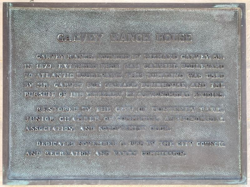
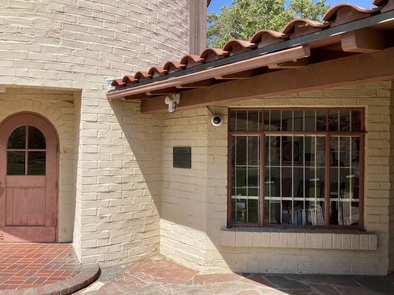
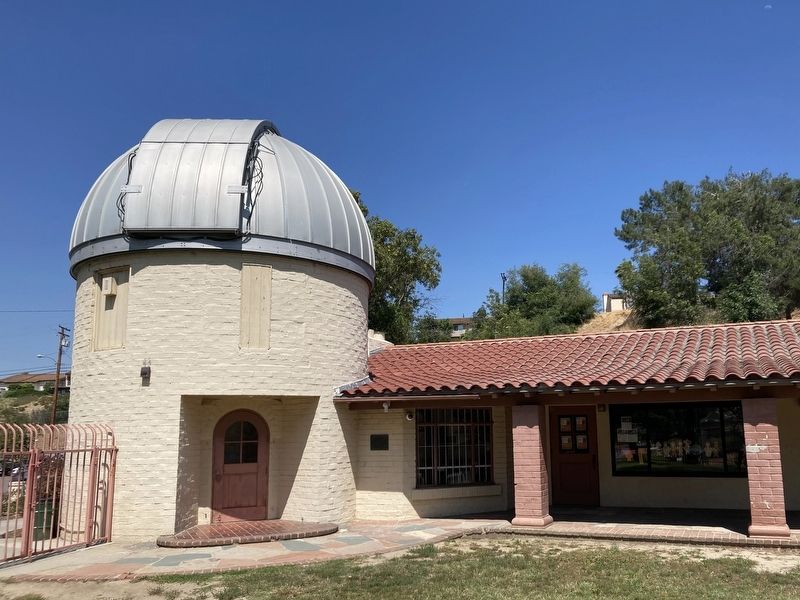
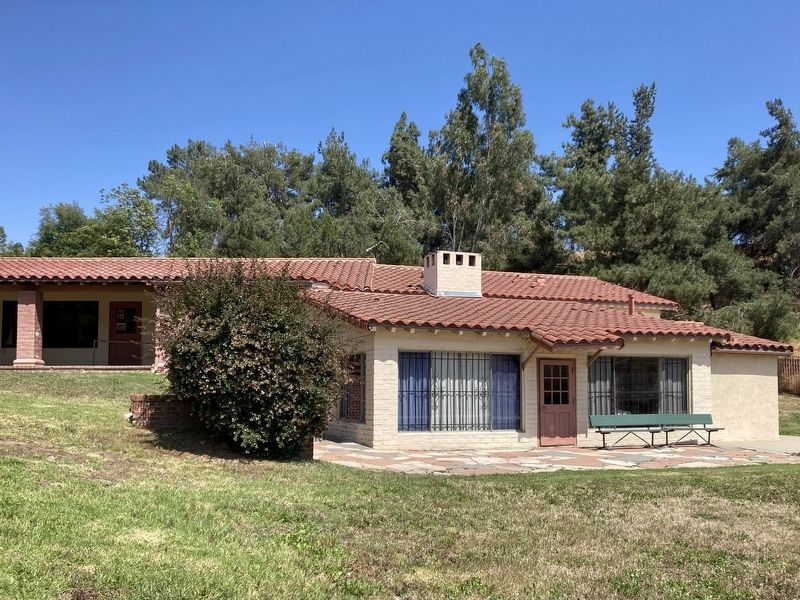
Garvey Ranch, founded by Richard Garvey, Sr. in 1873, extended from San Gabriel Boulevard to Atlantic Boulevard. This building was used by Mr. Garvey for storage, bunkhouse, and the pursuit of his interest in astronomical studies.
Restored by the City of Monterey Park, Junior Chamber of Commerce, Astronomical Association, and Soroptimist Club.
Erected 1966 by City Council, and Recreation and Parks Commission.
Topics. This historical marker is listed in these topic lists: Agriculture • Science & Medicine • Settlements & Settlers. A significant historical year for this entry is 1873.
Location. 34° 3.16′ N, 118° 6.829′ W. Marker is in Monterey Park, California, in Los Angeles County. Marker is on Orange Avenue, 0.1 miles south of Graves Avenue, on the right when traveling south. Located in Garvey Ranch Park at the Monterey Park Historical Museum. Touch for map. Marker is at or near this postal address: 781 S Orange Ave, Monterey Park CA 91755, United States of America. Touch for directions.
Other nearby markers. At least 8 other markers are within 3 miles of this marker, measured as the crow flies. Monterey Park Olympic History (approx. 0.8 miles away); Heritage Park Cascades (approx. 1.3 miles away); Laura Scudder (approx. 1.4 miles away); Juan Matias Sanchez Adobe (approx. 2˝ miles away); Mission Vieja (approx. 2.8 miles away); Ortega-Vigare Adobe (approx. 2.9 miles away); Rancho Las Tunas Adobe (approx. 3 miles away); Alhambra Clock (approx. 3 miles away). Touch for a list and map of all markers in Monterey Park.
Regarding Garvey Ranch House. In the early 1800's, the area now called Monterey Park was part of the San Gabriel Mission lands. Some years later, Richard Garvey, a mail rider for the U.S. Army whose route took him through Monterey Pass, a trail that is now Garvey Avenue, purchased 5,000 acres of land, a portion of which is now Monterey Park. Garvey began developing the land by bringing in spring water and by constructing a 54-foot high dam to form Garvey Lake located where Garvey Ranch Park is now. In 1892 he began subdividing portions of the property.
In 1916, the new residents of the area initiated action to become a city when the cities of Pasadena, South Pasadena, and Alhambra proposed a large sewage treatment facility in the area. The community voted for city-hood on May 29, 1916, by a vote of 455 to 33.
The city's board of directors named the new city Monterey Park. The name was taken from an old government map showing the oak-covered hills of the area as Monterey Hills. In 1920, a large area on the south edge of the city broke away and the separate city of Montebello was established.
Richard Garvey died on December 16, 1930, at the age of 92. He is often referred to as the “Father of Monterey Park”.
Also see . . .
1. Monterey Park Historical Museum. (Submitted on June 26, 2023.)
2. Garvey Ranch Park Observatory. (Submitted on June 26, 2023.)
Credits. This page was last revised on June 26, 2023. It was originally submitted on June 26, 2023, by Craig Baker of Sylmar, California. This page has been viewed 122 times since then and 34 times this year. Photos: 1, 2, 3, 4, 5. submitted on June 26, 2023, by Craig Baker of Sylmar, California.
