Mystic in Stonington in Southeastern Region, Connecticut — The American Northeast (New England)
Mystic Seaport Museum Sailing Center
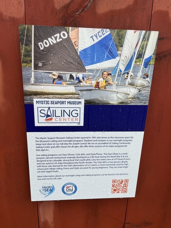
The Mystic Seaport Museum Sailing Center opened in 1961 and serves as the classroom space for the Museum's sailing and overnight programs. Students and campers in our overnight programs sleep next door on our tall ship the Joseph Conrad. We are an accredited US Sailing Community Sailing Center and offer classes for all ages. We offer three seasons of on-water programs for kids ages 6+.
Our sailing programs use Dyer Dhows, Club 420s, and Optis/Prams. The Dyer Dhow is a multipurpose sail and rowing boat originally developed as a life boat during the World War II. It was designed to be a durable, strong boat that could safely carry the entire crew of a PT boat (9 men) and was used on US ships throughout the Pacific theater. The Club 420 is a two-person dinghy with three sails. Named for the hull's dimensions of a 4.2 meters, is most commonly used for high school and college sailing. Prams and Optis are great for young beginners. Tehy are small single sail sprit-rigged boats.
More information about our overnight camp and sailing programs can be found in the brochure box and via the QR code.
Erected by Mystic Seaport
this page online
Topics. This historical marker is listed in these topic lists: Education • War, World II • Waterways & Vessels. A significant historical year for this entry is 1961.
Location. 41° 21.694′ N, 71° 58.006′ W. Marker is in Stonington in Southeastern Region, Connecticut. It is in Mystic. It can be reached from Greenmanville Avenue (Connecticut Route 27) south of Rossie Street, on the left when traveling north. Touch for map. Marker is at or near this postal address: 75 Greenmanville Avenue, Mystic CT 06355, United States of America. Touch for directions.

Regionally, this marker is on the Connecticut Shoreline, in Greater New London, in Mystic and the Eastern Shore, and in the Thames River Valley. It is also in the American Northeast, in New England, and on the Eastern Seaboard. Globally, it is in the North Atlantic Region, North America, the Western Hemisphere, the Western World, and the Anglosphere. Historically, it finds itself in what was once New London County and also one of the original Thirteen Colonies.
Other nearby markers. At least 8 other markers
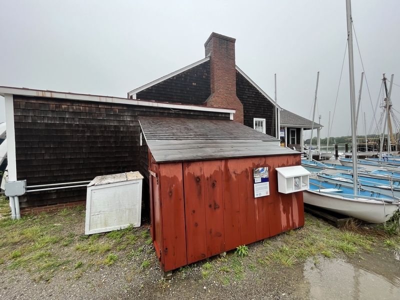
Other markers no longer nearby. Reproduction of Nantucket Island’s Brant Point Lighthouse (was a few steps from this marker but has been replaced with another marker now near it); Training Ship Joseph Conrad (was within shouting distance of this marker but has been replaced with another marker now near it).
Credits. This page was last revised on May 19, 2026. It was originally submitted on June 27, 2023, by Devry Becker Jones of Washington, District of Columbia. This page has been viewed 256 times since then and 24 times this year. Photos: 1, 2. submitted on June 27, 2023, by Devry Becker Jones of Washington, District of Columbia.
