Center Groton in Southeastern Region, Connecticut — The American Northeast (New England)
Jabez Smith House
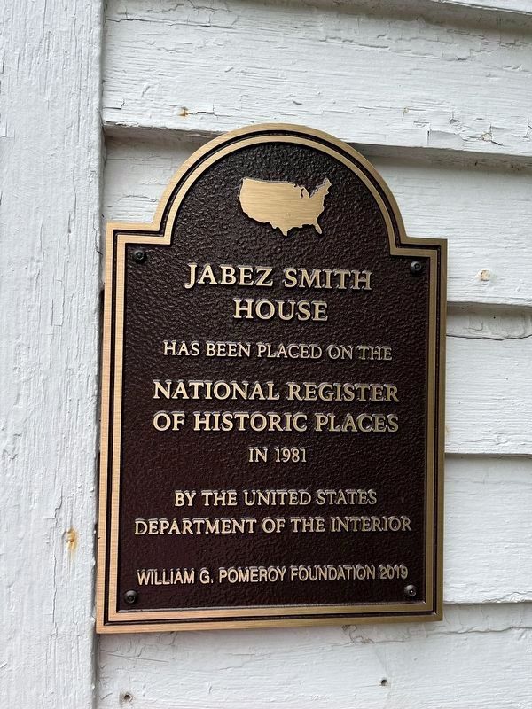
Photographed by Devry Becker Jones (CC0), June 24, 2023
1. Jabez Smith House Marker
National Register of Historic Places Inventory - Registration Form
Click for more information.
Click for more information.
House
has been placed on the
National Register
of Historic Places
in 1981
by the United States
Department of the Interior
Erected 2019 by William G. Pomeroy Foundation.
Topics and series. This historical marker is listed in these topic lists: Agriculture • Architecture • Settlements & Settlers. In addition, it is included in the William G. Pomeroy Foundation series list. A significant historical year for this entry is 1783.
Location. 41° 21.195′ N, 72° 1.743′ W. Marker is in Groton in Southeastern Region, Connecticut. It is in Center Groton. It is on N Road (Connecticut Route 117) 0.1 miles Newtown Road ( Route 117), on the right when traveling north. Touch for map. Marker is at or near this postal address: 259 N Rd, Groton CT 06340, United States of America. Touch for directions.

Regionally, this marker is on the Connecticut Shoreline, in Greater New London, in Mystic and the Eastern Shore, and in the Thames River Valley. It is also in the American Northeast, in New England, and on the Eastern Seaboard. Globally, it is in the North Atlantic Region, North America, the Western
this page online
Other nearby markers. At least 8 other markers are within 3 miles of this marker, measured as the crow flies: Groton (approx. 0.6 miles away); Avery Memorial (approx. 1.3 miles away); Civil War Memorial (approx. 2.6 miles away); Groton Battle Monument (approx. 2.6 miles away); Death of Major William Montgomery (approx. 2.6 miles away); Col. William Ledyard (approx. 2.6 miles away); Covered Way (approx. 2.6 miles away); The Battle of Groton Heights (approx. 2.6 miles away). Touch for a list and map of all markers in Groton.
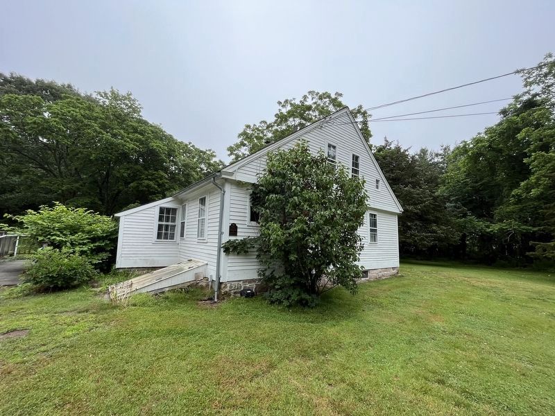
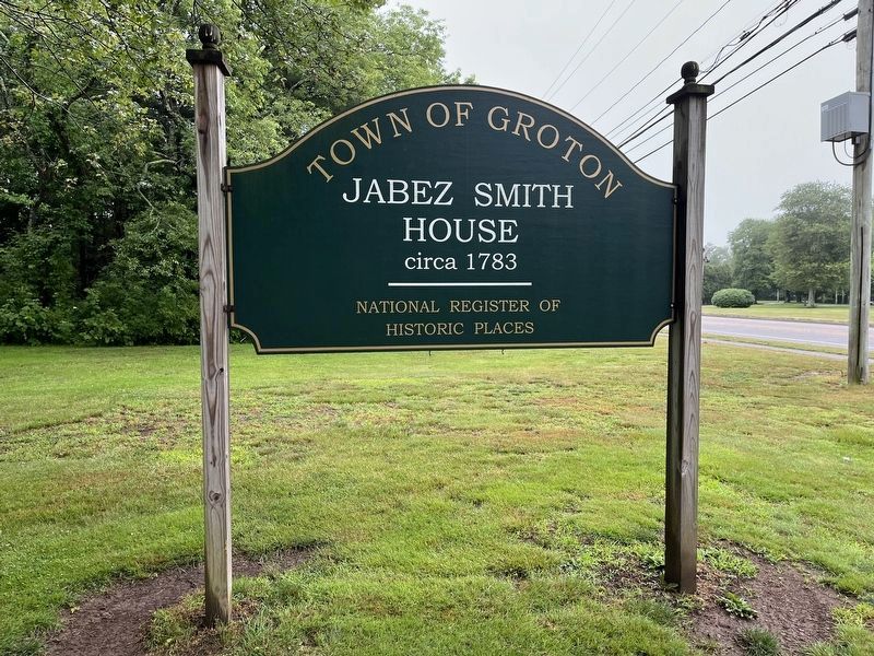
Photographed by Devry Becker Jones (CC0), June 24, 2023
3. Additional National Register of Historic Places sign from the Town of Groton, Connecticut
Credits. This page was last revised on May 19, 2026. It was originally submitted on June 29, 2023, by Devry Becker Jones of Washington, District of Columbia. This page has been viewed 328 times since then and 42 times this year. Photos: 1, 2, 3. submitted on June 29, 2023, by Devry Becker Jones of Washington, District of Columbia.
