Beaufort in Beaufort County, South Carolina — The American South (South Atlantic)
A City Transformed
— Reconstruction Era National Historical Park —
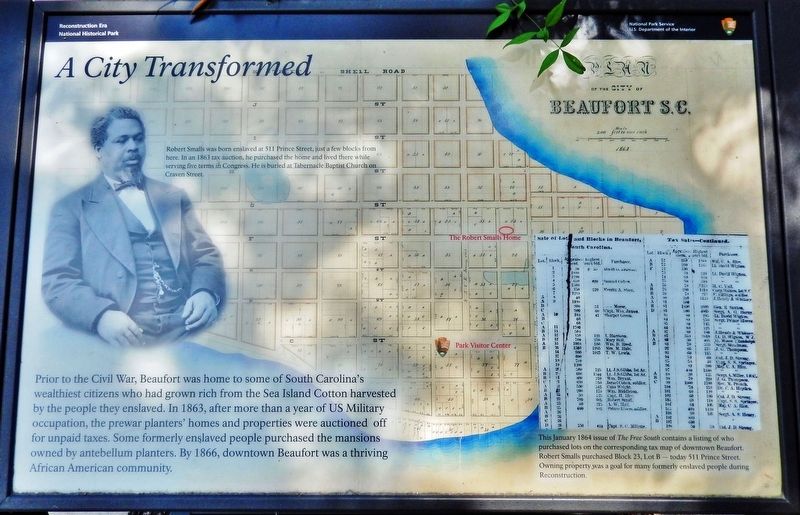
Prior to the Civil War, Beaufort was home to some of South Carolina's wealthiest citizens who had grown rich from the Sea Island Cotton harvested by the people they enslaved. In 1863, after more than a year of US Military occupation, the prewar planters' homes and properties were auctioned off for unpaid taxes. Some formerly enslaved people purchased the mansions owned by antebellum planters. By 1866, downtown Beaufort was a thriving African American community.
Erected by National Park Service, U.S. Department of the Interior.
Topics. This historical marker is listed in these topic lists: African Americans • Civil Rights • Industry & Commerce • War, US Civil. A significant historical year for this entry is 1863.
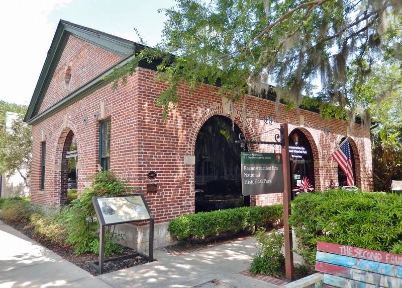
Location. 32° 25.953′ N, 80° 40.244′ W. Marker is in Beaufort, South Carolina, in Beaufort County. Marker is on Craven Street just east of Scott Street, on the right when traveling east. Marker is located beside the sidewalk at the Reconstruction Era National Historical Park. Touch for map. Marker is at or near this postal address: 706 Craven Street, Beaufort SC 29902, United States of America. Touch for directions.
Other nearby markers. At least 8 other markers are within walking distance of this marker. City Meat Market & Firehouse (here, next to this marker); Discovering the Reconstruction Era in Beaufort County, South Carolina (a few steps from this marker); Beaufort Arsenal (within shouting distance of this marker); Beth Israel Synagogue (within shouting distance of this marker); Dr. Henry Woodward, Surgeon 1646-1686 (within shouting distance of this marker); Beaufort Female Benevolent Society (within shouting distance of this marker); The Beaufort Firehouse & City Hall (within shouting distance of this marker); Carnegie Library (within shouting distance of this marker). Touch for a list and map of all markers in Beaufort.
Also see . . .
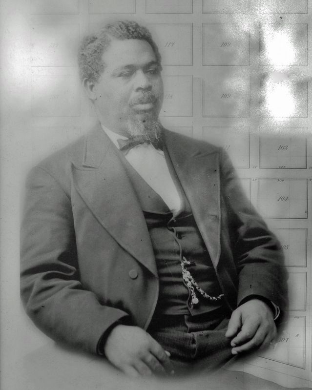
1. Robert Smalls.
Born into slavery in Beaufort, South Carolina, he freed himself, his crew, and their families during the American Civil War by commandeering a Confederate transport ship and sailing it from the Confederate-controlled waters of the harbor to the U.S. blockade that surrounded it. His example and persuasion helped convince President Abraham Lincoln to accept African American soldiers into the Union Army.(Submitted on June 30, 2023, by Cosmos Mariner of Cape Canaveral, Florida.)
2. Reconstruction Era National Historical Park.
The Reconstruction era, 1861-1900 the historic period in which the United States grappled with the question of how to integrate millions of newly freed African Americans into social, political, economic, and labor systems, was a time of significant transformation. The people, places, and events in Beaufort County, South Carolina, reflect on the most important issues of this tumultuous time period.(Submitted on June 30, 2023, by Cosmos Mariner of Cape Canaveral, Florida.)
3. Downtown Beaufort.
Beaufort is significant for its role as a major center of South Carolina’s antebellum plantation culture, its contribution to the history of the Civil War, and for its role it played in African-American history both during and after the war. Architecturally, the district is significant both for the high-style architecture produced by its pre-war planters and for the folk architectural patterns of its post-war African-American community.(Submitted on June 30, 2023, by Cosmos Mariner of Cape Canaveral, Florida.)
4. Reconstruction Era National Historical Park (Wikipedia).
The Beaufort area came under the control of the Union Army in November 1861. As a result, it was one of the first places in the United States where emancipated slaves "voted, bought property and created churches, schools and businesses."

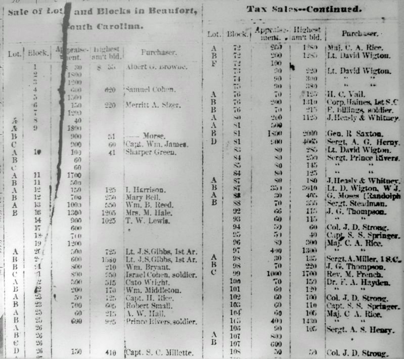
3. Marker detail: The Free South, January 1864
This January 1864 issue of The Free South contains a listing of who purchased lots on the corresponding tax map of downtown Beaufort. Robert Smalls purchased Block 23, Lot B — today 511 Prince Street. Owning property was a goal for many formerly enslaved people during Reconstruction.
Credits. This page was last revised on June 30, 2023. It was originally submitted on June 30, 2023, by Cosmos Mariner of Cape Canaveral, Florida. This page has been viewed 84 times since then and 21 times this year. Photos: 1, 2, 3, 4. submitted on June 30, 2023, by Cosmos Mariner of Cape Canaveral, Florida.


