Beaufort in Beaufort County, South Carolina — The American South (South Atlantic)
Discovering the Reconstruction Era in Beaufort County, South Carolina
— Reconstruction Era National Historical Park —
Inscription.
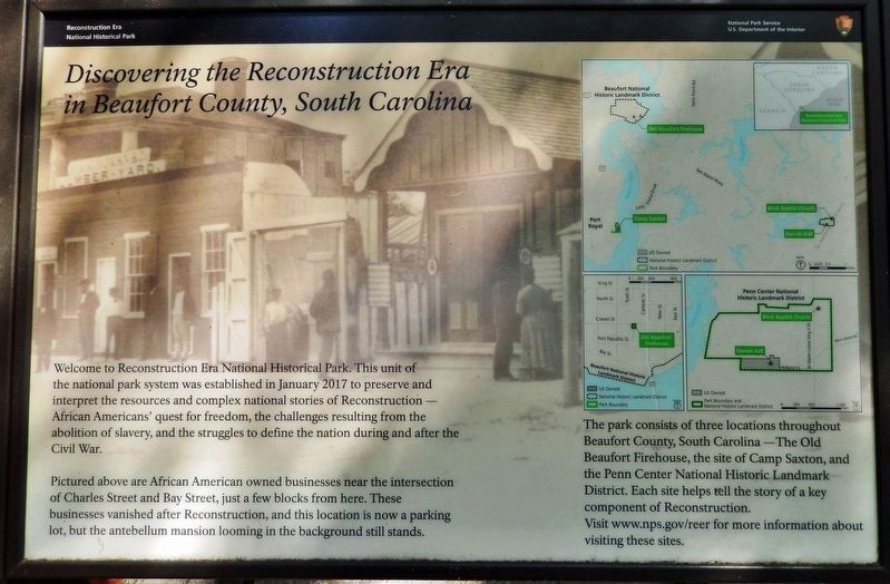
Welcome to Reconstruction Era National Historical Park. This unit of the national park system was established in January 2017 to preserve and interpret the resources and complex national stories of Reconstruction — African Americans' quest for freedom, the challenges resulting from the abolition of slavery, and the struggles to define the nation during and after the Civil War.
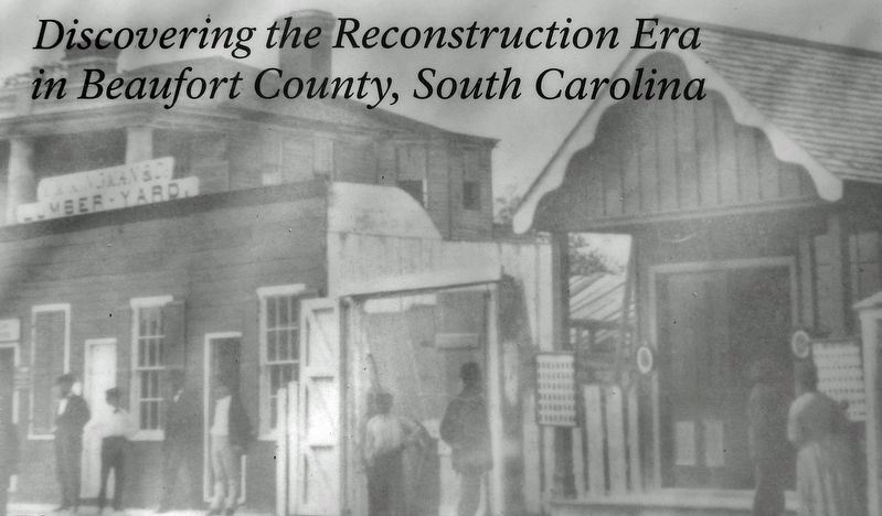
Pictured above are African American owned businesses near the intersection of Charles Street and Bay Street, just a few blocks from here. These businesses vanished after Reconstruction, and this location is now a parking lot, but the antebellum mansion looming in the background still stands.
Erected by National Park Service, U.S. Department of the Interior.
Topics. This historical marker is listed in these topic lists: African Americans • Civil Rights • Education • War, US Civil.
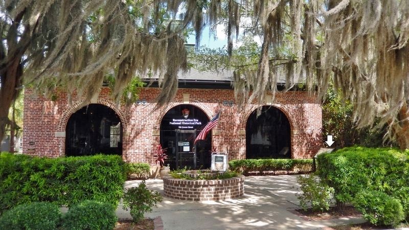
Location. 32° 25.946′ N, 80° 40.244′ W. Marker is in Beaufort, South Carolina, in Beaufort County. Marker can be reached from Craven Street just east of Scott Street, on the right when traveling east. Marker is located at the Reconstruction Era National Historical Park, near the southwest corner of the visitor center. Touch for map. Marker is at or near this postal address: 706 Craven Street, Beaufort SC 29902, United States of America. Touch for directions.
Other nearby markers. At least 8 other markers are within walking distance of this marker. City Meat Market & Firehouse (a few steps from this marker); A City Transformed (a few steps from this marker); Beaufort Female Benevolent Society (within shouting distance of this marker); Beaufort Arsenal (within shouting distance of this marker); The Beaufort Firehouse & City Hall (within shouting distance of this marker); Dr. Henry Woodward, Surgeon 1646-1686 (within shouting distance of this marker); Beth Israel Synagogue (within shouting distance of this marker); Carnegie Library (within shouting distance of this marker). Touch for a list and map of all markers in Beaufort.
Also see . . .
1. Reconstruction Era National Historical Park.
The Reconstruction era, 1861-1900 the historic period in which the United States grappled with the question of how to integrate millions of newly freed African Americans into social, political, economic, and labor systems, was a time of significant transformation. The people, places, and events in Beaufort County, South Carolina, reflect on the most important issues of this tumultuous time period.(Submitted on June 30, 2023, by Cosmos Mariner of Cape Canaveral, Florida.)
2. Reconstruction Era National Historical Park (Wikipedia).
The Reconstruction Era National Historical Park, formerly Reconstruction Era National Monument is a United States National Historical Park in Beaufort County, South Carolina established by President Barack Obama in January 2017 to preserve and commemorate activities during the Reconstruction Era that followed the American Civil War. The monument was the first U.S. National Monument dedicated to the Reconstruction Era.(Submitted on June 30, 2023, by Cosmos Mariner of Cape Canaveral, Florida.)

3. Marker detail: Reconstruction Era National Historical Park Map
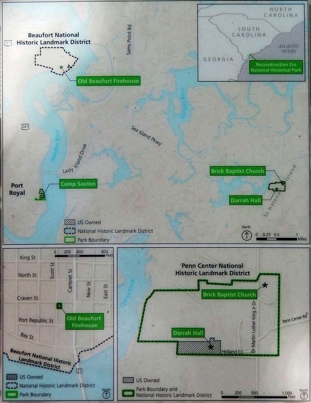
The park consists of three locations throughout Beaufort County, South Carolina — The Old Beaufort Firehouse, the site of Camp Saxton, and the Penn Center National Historic Landmark District. Each site helps tell the story of a key component of Reconstruction. Visit www.nps.gov/reer for more information about visiting these sites.
Credits. This page was last revised on July 1, 2023. It was originally submitted on June 30, 2023, by Cosmos Mariner of Cape Canaveral, Florida. This page has been viewed 77 times since then and 15 times this year. Photos: 1, 2, 3, 4. submitted on June 30, 2023, by Cosmos Mariner of Cape Canaveral, Florida.


