Valmora in Mora County, New Mexico — The American Mountains (Southwest)
Santa Fe Trail
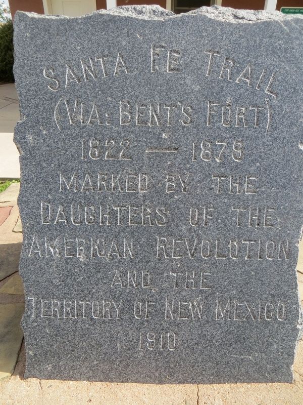
Photographed by Bill Kirchner, September 21, 2014
1. Santa Fe Trail Marker
Santa Fe Trail
(Via Bent's Fort)
1822-1879
Marked by the Daughters of the American Revolution and the Territory of New Mexico
1910
Erected 1910 by Daughters of the American Revolution (DAR).
Topics and series. This historical marker is listed in this topic list: Roads & Vehicles. In addition, it is included in the Daughters of the American Revolution (DAR), and the Santa Fe Trail series lists. A significant historical year for this entry is 1910.
Location. 35° 51.928′ N, 104° 52.776′ W. Marker is in Valmora, New Mexico, in Mora County. It is on Interstate 25, on the right when traveling north. Touch for map. Marker is at or near this postal address: I-25 N Raton, Watrous NM 87753, United States of America. Touch for directions.

Regionally, this marker is in Northern New Mexico. It is also in the American Southwest, in the Mountain West, and on the Santa Fe Trail Corridor. Globally, it is in North America, the Rocky Mountains, the Western Hemisphere, the Western World, and the Anglosphere. Historically, it finds itself in what was once New Spain, the Dust Bowl, and the Republic of Texas.
Other nearby markers. At
this page online
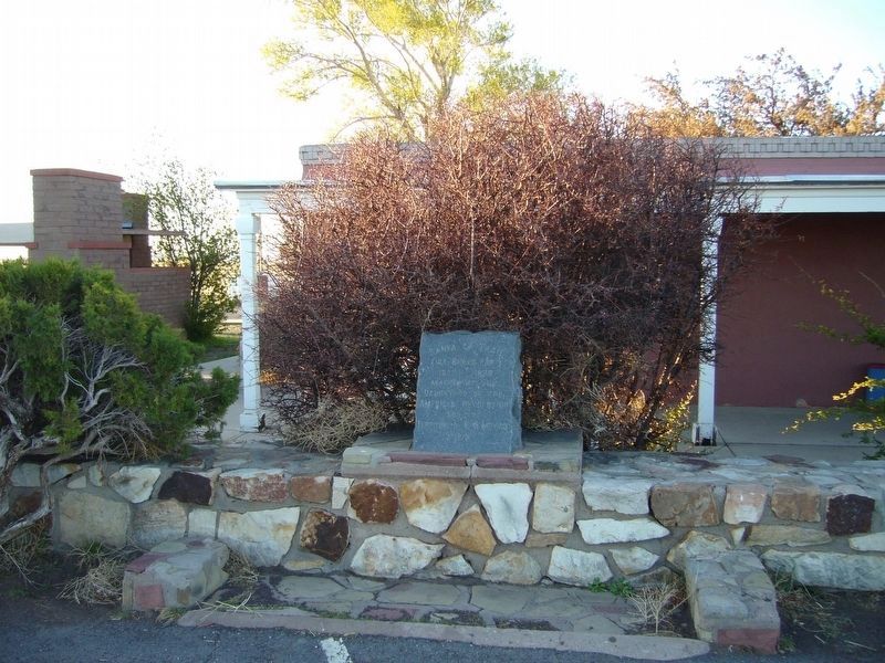
Photographed by Bill Kirchner
2. Santa Fe Trail Marker
Credits. This page was last revised on June 30, 2023. It was originally submitted on June 30, 2023. This page has been viewed 237 times since then and 30 times this year. Photos: 1. submitted on October 9, 2014, by Bill Kirchner of Tucson, Arizona. 2. submitted on May 9, 2012, by Bill Kirchner of Tucson, Arizona.
