Near Flovilla in Butts County, Georgia — The American South (South Atlantic)
William McIntosh
Photographed by Duane and Tracy Marsteller, June 10, 2023
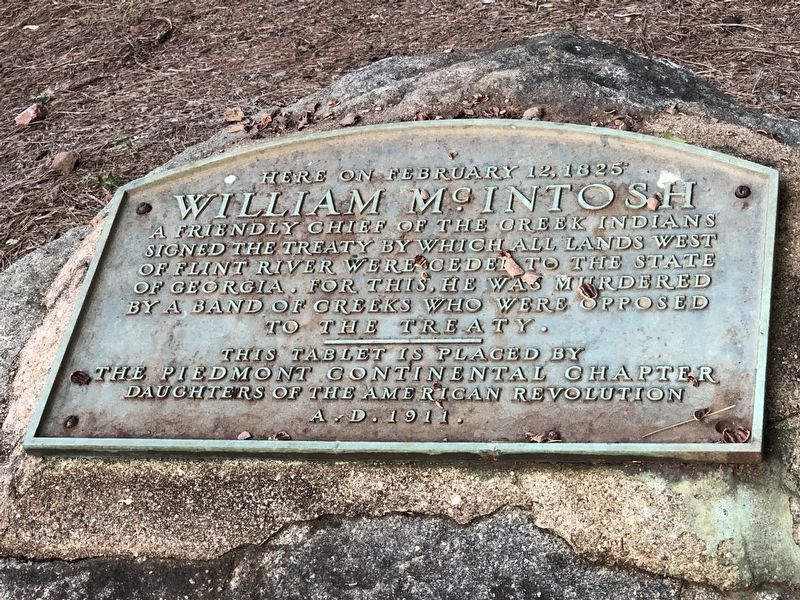
1. William McIntosh Marker
William McIntosh
Erected 1911 by Piedmont Continental Chapter Daughters of the American Revolution (DAR).
Topics and series. This historical marker is listed in these topic lists: Indigenous Peoples and Communities • Notable Events. In addition, it is included in the Daughters of the American Revolution (DAR) series list. A significant historical date for this entry is February 12, 1825.
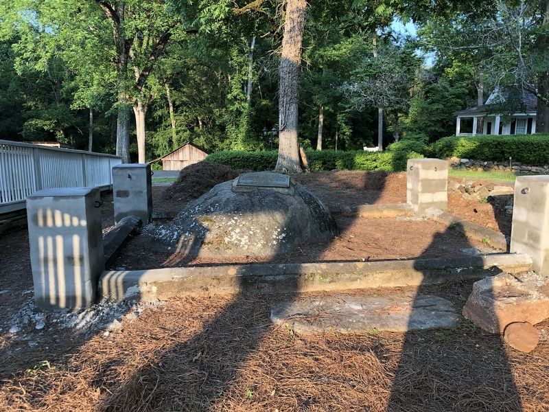
Location. 33° 14.676′ N, 83° 55.214′ W. Marker is near Flovilla, Georgia, in Butts County. It can be reached from State Highway 42 0.1 miles north of Harris Street, on the right when traveling north. Marker is next to the Indian Spring Inn. Touch for map. Marker is at or near this postal address: 1807 GA-42, Flovilla GA 30216, United States of America. Touch for directions.

Regionally, this marker is in the Piedmont. It is also in the American South and specifically in the Deep South. Globally, it is in
this page online
Other nearby markers. At least 8 other markers are within 5 miles of this marker, measured as the crow flies: Indian Springs (within shouting distance of this marker); Sherman’s Right at Indian Springs (approx. 0.2 miles away); Indian Springs State Park (approx. 0.2 miles away); Indian Spring (approx. 0.2 miles away); “Idlewilde” (approx. ¼ mile away); Iron Springs (approx. 3.1 miles away); Kilpatrick at Cork (approx. 3.7 miles away); Jackson Veterans Memorial Park / All Gave Some, Some Gave All (approx. 4.3 miles away). Touch for a list and map of all markers in Flovilla.
Another marker is no longer nearby. McIntosh House (was about 400 feet away, measured in a direct line but has been confirmed missing).
Regarding William McIntosh. McIntosh was among six Creek chiefs who signed the 1825 treaty, for which they received $200,000 (about $6.1
Photographed by Duane and Tracy Marsteller, June 10, 2023
2. William McIntosh Marker
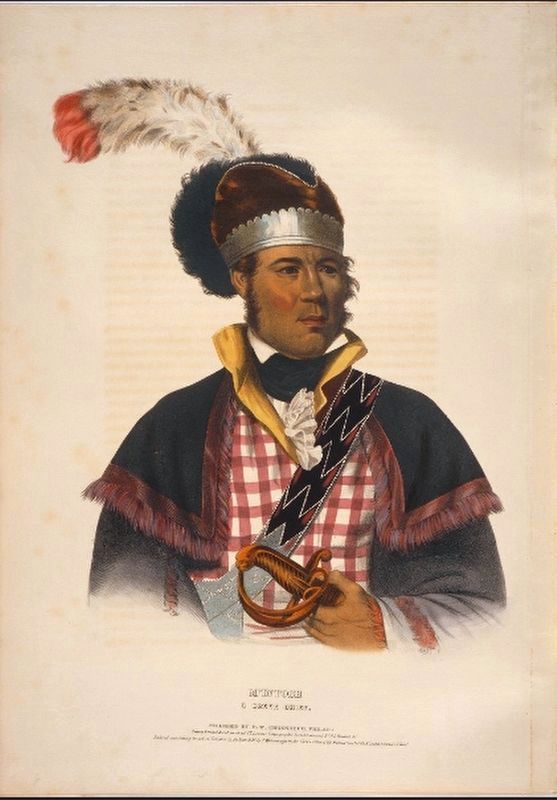
Also see . . . William McIntosh. William McIntosh was a controversial chief of the Lower Creeks in early-nineteenth-century Georgia. His general support of the United States and its efforts to obtain cessions of Creek territory alienated him from many Creeks who opposed white encroachment on Indian land. (Melissa Stock, New Georgia Encyclopedia) (Submitted on June 30, 2023, by Duane and Tracy Marsteller of Murfreesboro, Tennessee.)
Photographed by Duane and Tracy Marsteller, June 10, 2023
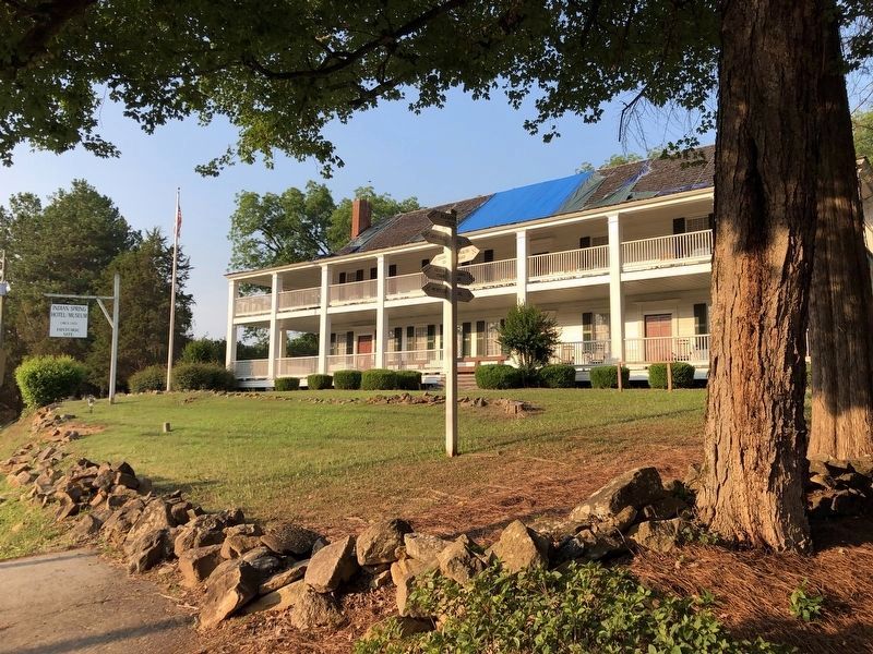
3. Indian Spring Hotel
This hotel, built by McIntosh in 1823, is the site of two treaties he signed that ceded all of the Muscogee (Creek) lands in Georgia.
Charles Bird King via University of Cincinnati Libraries Digital Collections (Public Domain), 1838
4. William McIntosh
Credits. This page was last revised on July 1, 2023. It was originally submitted on June 30, 2023, by Duane and Tracy Marsteller of Murfreesboro, Tennessee. This page has been viewed 540 times since then and 84 times this year. Photos: 1, 2, 3, 4. submitted on June 30, 2023, by Duane and Tracy Marsteller of Murfreesboro, Tennessee.
