North Wilkesboro in Wilkes County, North Carolina — The American South (South Atlantic)
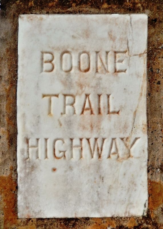
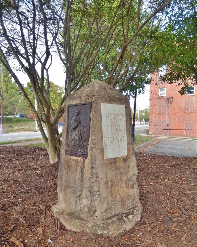
Boone Trail Highway
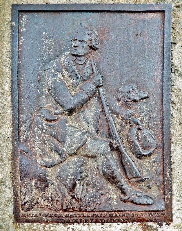
• Daniel Boone •
Topics and series. This historical marker is listed in these topic lists: Roads & Vehicles • War, Spanish-American • Waterways & Vessels. In addition, it is included in the U.S.S. Maine Memorial Markers series list.
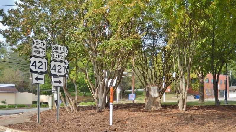
Location. 36° 9.612′ N, 81° 8.985′ W. Marker is in North Wilkesboro, North Carolina, in Wilkes County. Marker is at the intersection of D Street (C B D Loop) and Business U.S. 421, on the right when traveling north on D Street (C B D Loop). Touch for map. Marker is in this post office area: North Wilkesboro NC 28659, United States of America. Touch for directions.
Other nearby markers. At least 8 other markers are within walking distance of this marker. Wilkes County World War I Memorial (approx. 0.2 miles away); Memorial Avenue (approx. 0.2 miles away); James B. Gordon (approx. half a mile away); John Cranor House (approx. 0.7 miles away); Robert Cleveland Log Home (approx. ¾ mile away); Early Food Preservation (approx. ¾ mile away); Brown-Cowles House (approx. ¾ mile away); Old Wilkes County Jail (approx. ¾ mile away). Touch for a list and map of all markers in North Wilkesboro.
Also see . . . Boone Trail.
Between 1913 and 1938, Joseph Hampton Rich, a resident of Mocksville, North Carolina, placed 358 metal tablets between Virginia Beach, Virginia and San Francisco, California, in honor of Daniel Boone and his travels. This was an effort to help promote coast to coast highway improvement, tourist travel, patriotism, remembrance of the Battleship Maine, education, memorializing pioneer hero Daniel Boone, and community unity and spirit. The tablets were (at least partially) constructed from metal salvaged from the battleship USS Maine sunk during the Spanish–American War in 1898. The tablets were typically located near schools, government buildings, or along old highway routes.(Submitted on July 2, 2023, by Cosmos Mariner of Cape Canaveral, Florida.)
Credits. This page was last revised on July 2, 2023. It was originally submitted on July 2, 2023, by Cosmos Mariner of Cape Canaveral, Florida. This page has been viewed 70 times since then and 21 times this year. Photos: 1, 2, 3, 4. submitted on July 2, 2023, by Cosmos Mariner of Cape Canaveral, Florida.


