Downtown in Albany in Albany County, New York — The American Northeast (Mid-Atlantic)
Erie Canal
Photographed by Steve Stoessel, June 19, 2023
1. Erie Canal Marker
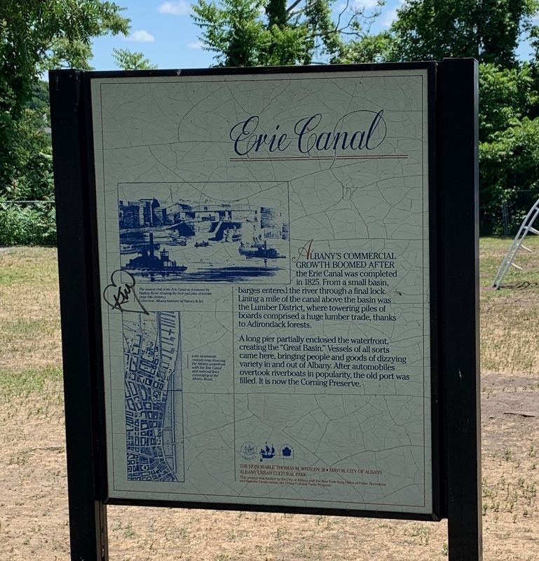
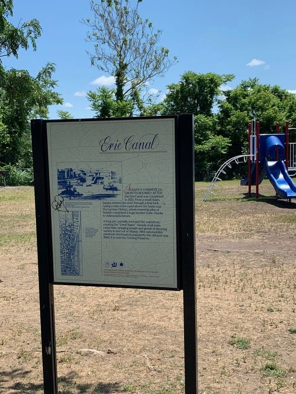
Albany's coomercial growth boomed after the Erie Canal was completed in 1825. From a small basin, barges entered the river through a final lock. Lining a mile of the canal above the basin was in the Lumber District, where towering piles of boards comprised a huge lumber trade, thanks to Adirondack forests.
A long pier partially enclosed the waterfront, creating the "Great Basin." Vessels of all sorts came here, bringing people and goods of dizzying variety in and out of Albany. After automobiles overtook riverboats in popularity, the old port was filled. It is now the Corning Preserve.
(illustrations, top to bottom)
The eastern end of the Erie Canal as it entered the Hudson River, showing the lock and piles of lumber (mid 19th century).(Collection, Albany Museum of History and Art)
Late nineteenth century map showing the Albany waterfront with the Erie Canal and railroad lines converging at the Albany Basin.
Erected by Urban Cultural Park Program.
Topics and series. This historical marker is listed in these topic lists: Parks & Recreational Areas • Waterways & Vessels. In addition, it
this page online
Location. 42° 39.197′ N, 73° 44.692′ W. Marker is in Albany, New York, in Albany County. It is in Downtown. It can be reached from Quay Street. Marker is at the Corning Preserve. Touch for map. Marker is in this post office area: Albany NY 12207, United States of America. Touch for directions.

Regionally, this marker is in Upstate New York and in the Capital District. It is also in the American Northeast and in the Mid-Atlantic. Globally, it is in North America, the Western Hemisphere, the Western World, and the Anglosphere. Historically, it finds itself in what was once New Netherland and also one of the original Thirteen Colonies.
Other nearby markers. At least 8 other markers are within walking distance of this marker: Albany Pump Station (about 800 feet away, measured in a direct line); Lincoln Mourned (approx. 0.2 miles away); No. 25 Quackenbush St. (approx. 0.2 miles away); The Erie Canal / Albany Basin (approx. 0.2 miles away); United Traction Company Building (approx. ¼ mile away); Patroon Street (approx. ¼ mile away); First Church in Albany (Reformed)
Photographed by Steve Stoessel, June 19, 2023
2. Erie Canal Marker
Credits. This page was last revised on January 11, 2025. It was originally submitted on July 3, 2023, by Steve Stoessel of Niskayuna, New York. This page has been viewed 531 times since then and 43 times this year. Photos: 1, 2. submitted on July 3, 2023, by Steve Stoessel of Niskayuna, New York. • Andrew Ruppenstein was the editor who published this page.
