Pearson in Atkinson County, Georgia — The American South (South Atlantic)
Confederate Soldier Memorial
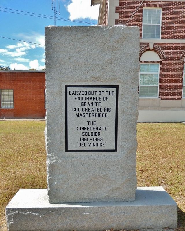
Photographed by Cosmos Mariner, October 8, 2019
1. Confederate Soldier Memorial
endurance of
granite.
God created his
masterpiece
The
Confederate
Soldier
1861-1865
"Deo Vindice"
Topics. This memorial is listed in this topic list: War, US Civil.
Location. 31° 17.739′ N, 82° 51.197′ W. Memorial is in Pearson, Georgia, in Atkinson County. It is on South Main Street (U.S. 221/441) just south of West Roberts Avenue, on the right when traveling south. Marker is located near the southeast corner of the Atkinson County Courthouse. Touch for map. Memorial is at or near this postal address: 19 West Roberts Avenue, Pearson GA 31642, United States of America. Touch for directions.

Regionally, this memorial is on the Coastal Plain. It is also in the American South, specifically in the Deep South, and in the Wiregrass. Globally, it is in North America, the Western Hemisphere, the Western World, and the Anglosphere. Historically, it finds itself in what was once the territory of the Mississippian Culture, one of the original Thirteen Colonies, one of the Confederate States of America, and the Antebellum South.
Other nearby markers. At least
this page online
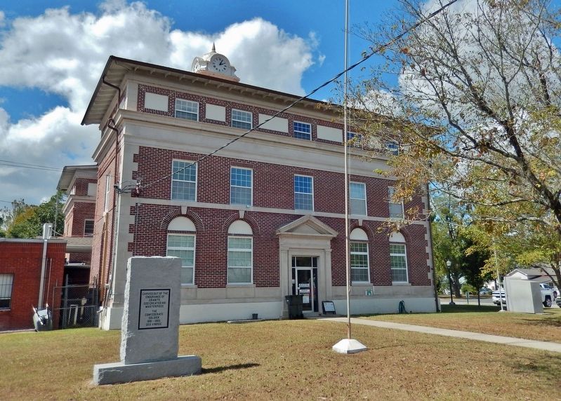
Photographed by Cosmos Mariner, October 8, 2019
2. Atkinson County Courthouse (southeast elevation)
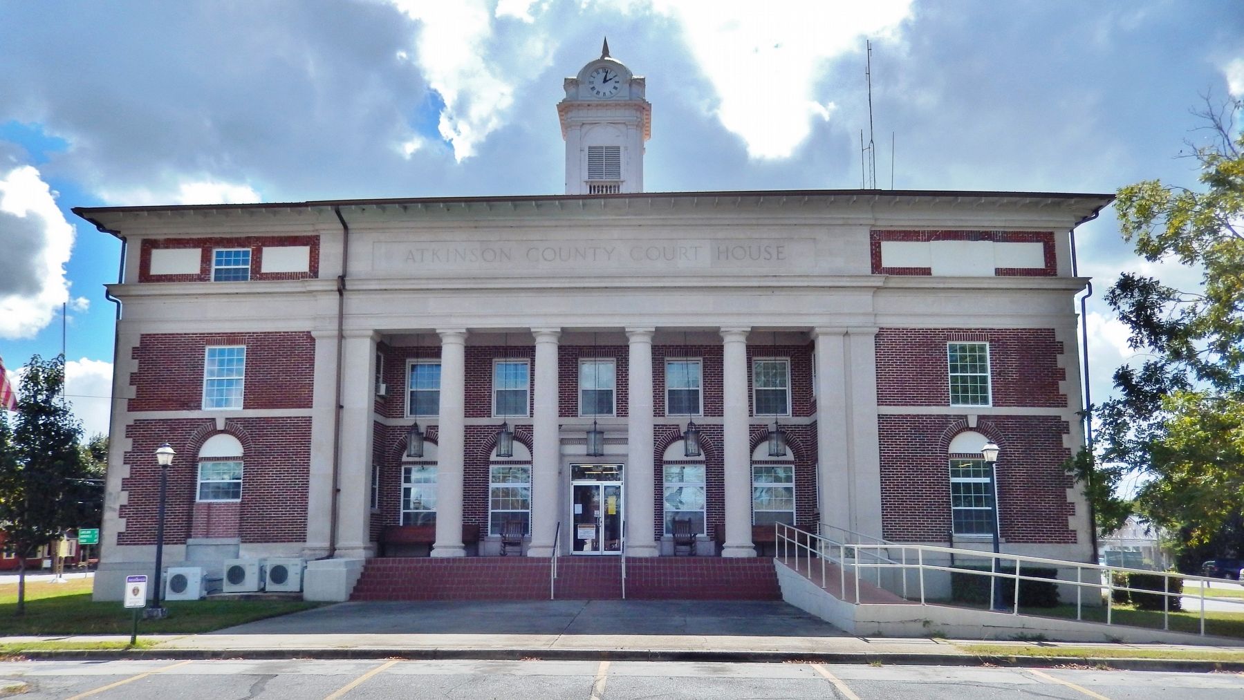
Photographed by Cosmos Mariner, October 8, 2019
3. Atkinson County Courthouse (north/front elevation)
Credits. This page was last revised on July 3, 2023. It was originally submitted on July 3, 2023, by Cosmos Mariner of Cape Canaveral, Florida. This page has been viewed 264 times since then and 31 times this year. Photos: 1, 2, 3. submitted on July 3, 2023, by Cosmos Mariner of Cape Canaveral, Florida.
