Near Edinburg in Shenandoah County, Virginia — The American South (Mid-Atlantic)
The Stover - McGinnis House
“Make Me a Map of the Valley”
— 1862 Valley Campaign —
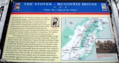
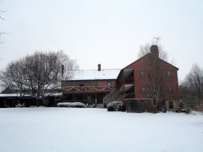
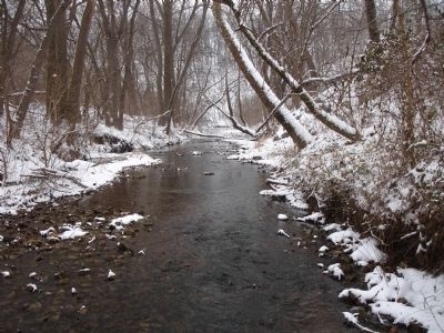
March 26, 1862: “In the morning our battalion was ordered back to Narrow Passage, … near the rest of the army. Hd. Qrs. were established at Miss Stover’s, in the stone house, near Narrow Passage Creek. Soon after we reached camp, Gen. Jackson sent me a message that he wished to see me. I promptly reported, when he said, after some general conversation about my topographical work in Northwestern Virginia last year, “I want you to make me a map of the Valley, from Harper’s Ferry to Lexington, showing all the points of offence and defence in those places. Mr. Pendleton will give you orders for whatever outfit you want. Good morning, Sir.”
The meeting described took place here. Jedediah Hotchkiss recorded this entry in his diary three days after the defeat of Thomas J. “Stonewall” Jackson’s Valley Army at Kernstown, Virginia. Hotchkiss immediately began his assigned task and soon advised Jackson to move the army farther south to Rude’s Hill. Hotchkiss’ maps and advice proved to be invaluable to Jackson during his famous Valley Campaign of 1862. Following Jackson’s death, Hotchkiss continued his cartographic duties, serving under Gens. Richard S. Ewell and Jubal A. Early. Fully one-half of the Confederate maps published in the Official Atlas of the Civil War are attributed to him. Following the war, Hotchkiss became a most valuable source for scholars endeavoring to write absolutely accurate accounts of the conflict. He also became a respected lecturer to large audiences on the East Coast on a variety of war topics.
Erected by Virginia Civil War Trails and Shenandoah Valley Battlefields Foundation.
Topics and series. This historical marker is listed in this topic list: War, US Civil. In addition, it is included in the Virginia Civil War Trails series list. A significant historical date for this entry is March 26, 1879.
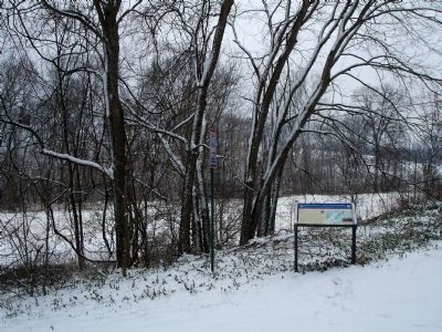
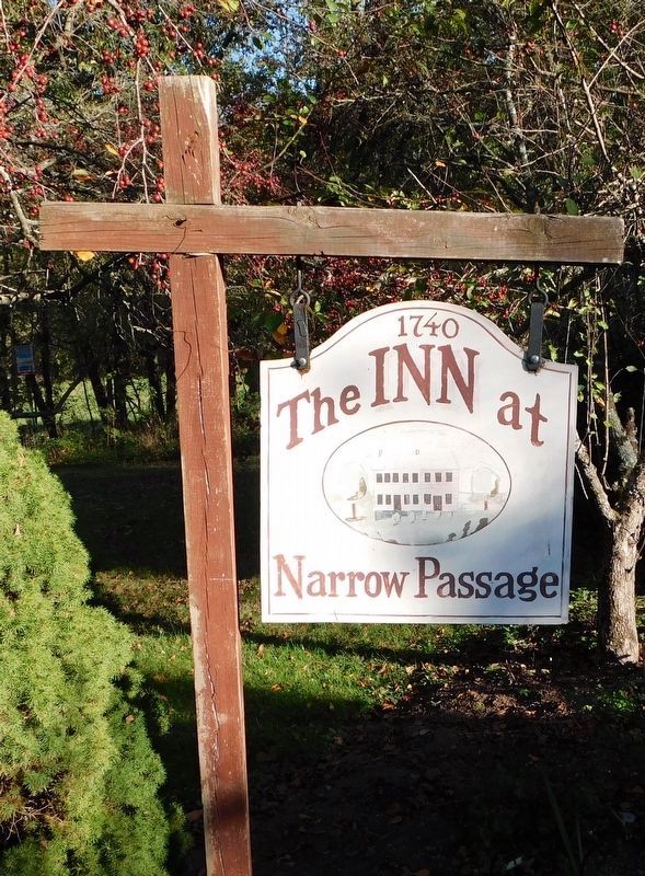
Location. 38° 50.771′ N, 78° 31.88′ W. Marker is near Edinburg, Virginia, in Shenandoah County. Marker is on Chapman Landing Road (Virginia Route 672), on the right when traveling east. Marker is located at the driveway entrance to The Inn at Narrow Passage on Chapman Landing Road just off of Route 11 (the Old Valley Turnpike). Touch for map. Marker is in this post office area: Edinburg VA 22824, United States of America. Touch for directions.
Other nearby markers. At least 8 other markers are within 3 miles of this marker, measured as the crow flies. Last Indian-Settler Conflict (about 600 feet away, measured in a direct line); Woodstock (approx. 2.1 miles away); Confederate Memorial (approx. 2.3 miles away); Welcome to Woodstock's Lovework (approx. 2½ miles away); The Original Fire Bell (approx. 2½ miles away); Veterans Memorial Bell (approx. 2½ miles away); Col. Turner Ashby (approx. 2½ miles away); Civil War Action in Edinburg (approx. 2½ miles away). Touch for a list and map of all markers in Edinburg.
More about this marker. On the upper middle of the marker is a portrait captioned Jed Hotchkiss. The right side of the marker features a map of the Shenandoah Valley depicting Civil War Trails Sites. A photo inset on the map is captioned View from a bridge across Narrow Passage Creek looking south on the Valley Pike.
Also see . . . Jedediah Hotchkiss (1828–1899). Encyclopedia Virginia website entry (Submitted on May 29, 2022, by Larry Gertner of New York, New York.)
Credits. This page was last revised on May 29, 2022. It was originally submitted on September 26, 2009. This page has been viewed 1,865 times since then and 45 times this year. Photos: 1, 2, 3, 4. submitted on September 26, 2009. 5. submitted on April 2, 2021, by Bradley Owen of Morgantown, West Virginia. • Craig Swain was the editor who published this page.
