Genoa in Douglas County, Nevada — The American Mountains (Southwest)
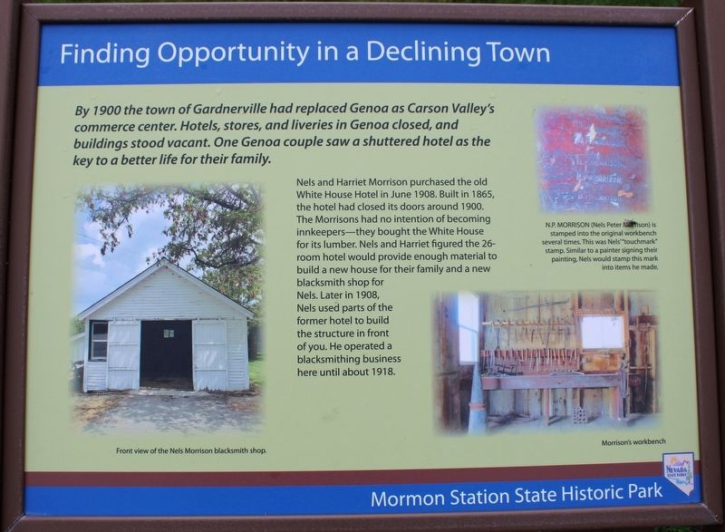
Finding Opportunity in a Declining Town
Mormon Station State Historic Park
Photographed by Joseph Alvarado, May 14, 2023
1. Finding Opportunity in a Declining Town Marker
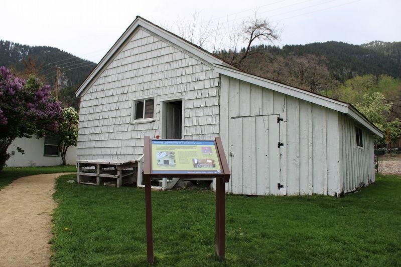
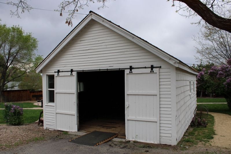
Nels and Harriet Morrison purchased the old White House Hotel in June 1908. Built in 1865, the hotel had closed its doors around 1900. The Morrisons had no intention of becoming innkeepers-they bought the White House for its lumber. Nels and Harriet figured the 26-room hotel would provide enough material to build a new house for their family and a new blacksmith shop for Nels. Later in 1908, Nels used parts of the former hotel to build the structure in front of you. He operated a blacksmithing business here until about 1918.
Erected by Nevada State Parks.
Topics. This historical marker is listed in these topic lists: Industry & Commerce • Parks & Recreational Areas. A significant historical year for this entry is 1908.
Location. 39° 0.331′ N, 119° 50.701′ W. Marker is in Genoa, Nevada, in Douglas County. It can be reached from Main Street south of Kinsey Way, on the right
this page online

Regionally, this marker is in the Sierra Nevada, in the Lake Tahoe Basin, and in Greater Reno Area. It is also in the American Mountain West. Globally, it is in North America, the Western Hemisphere, the Western World, and the Anglosphere. Historically, it finds itself in what was once New Spain and also Mexico’s Alta California.
Other nearby markers. At least 8 other markers are within walking distance of this marker: Eggs for Sale! (a few steps from this marker); The Campbell Property (within shouting distance of this marker); The Pony Express (about 300 feet away, measured in a direct line); John A. “Snowshoe” Thompson (about 300 feet away); Judge Daniel Webster Virgin (about 300 feet away); Hans Meyer–Kassel (about 400 feet away); Striking it Rich…by Growing Crops? (about 400 feet away); Carson Trail - Original Mormon Station (about 400 feet away). Touch for a list and map of all markers
Photographed by Joseph Alvarado, May 14, 2023
2. Finding Opportunity in a Declining Town Marker
More about this marker.
Inset Images:
N.P. Morrison (Nels Peter Morrison) is stamped into the original workbench several times. This was Nels' "touchmark" stamp. Similar to a painter signing their painting, Nels would stamp this mark into items he made.
Front view of the Nels Morrison blacksmith shop.
Morrison's workbench
Related marker. Click here for another marker that is related to this marker. Mormon Station State Historic Park
Also see . . . Mormon Station State Historic Park. Nevada State Parks
"Mormon Station was built in 1851 as a trading post along the Carson Route of the California Trail. With the discovery of gold in 1848, thousands upon thousands of emigrants starting making their way through present day Nevada along the California Trail."(Submitted on July 5, 2023, by Joseph Alvarado of Livermore, California.)
Photographed by Joseph Alvarado, May 14, 2023
3. The Blacksmith Shop
Photographed by Joseph Alvarado, May 14, 2023
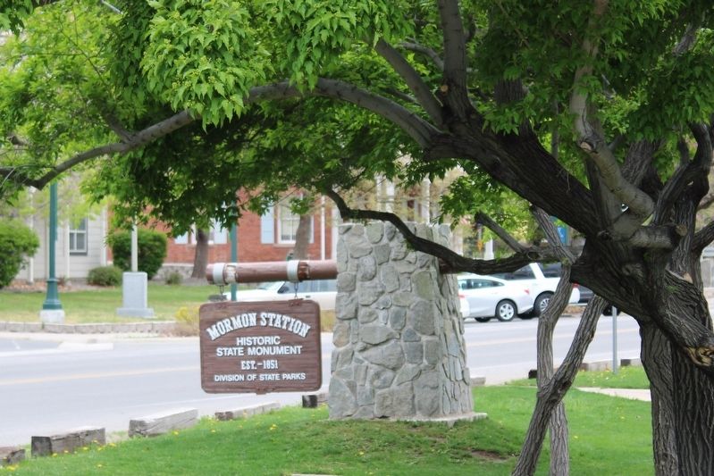
4. Mormon Station
Est. – 1851
Division of State Parks
Credits. This page was last revised on July 5, 2023. It was originally submitted on July 5, 2023, by Joseph Alvarado of Livermore, California. This page has been viewed 264 times since then and 23 times this year. Photos: 1, 2, 3, 4. submitted on July 5, 2023, by Joseph Alvarado of Livermore, California.
