Near Shiloh in Hardin County, Tennessee — The American South (East South Central)
Munch's Battery
Prentiss' Division
— Army of the Tennessee —
Inscription.
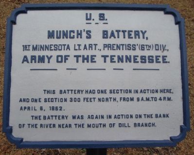
Munch's Battery
1st Minnesota Lt. Arty., Prentiss' (6th) Div.,
Army of the Tennessee.
This Battery had one section in action here, and one section 300 feet north, from 9 a.m. to 4 p.m. April 6, 1862.
The Battery was again in action on the bank of the river near the mouth of Dill Branch.
Erected by Shiloh National Military Park Commission. (Marker Number 241.)
Topics. This historical marker is listed in this topic list: War, US Civil. A significant historical month for this entry is April 1867.
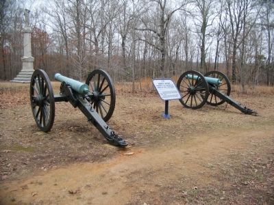
Location. 35° 8.113′ N, 88° 20.266′ W. Marker is near Shiloh, Tennessee, in Hardin County. Marker is at the intersection of Eastern Corinth Road and Hornets Nest Loop, on the right when traveling north on Eastern Corinth Road. Located near the intersection of the "Sunken Road" and the Eastern Corinth Road in Shiloh National Military Park. Touch for map. Marker is in this post office area: Shiloh TN 38376, United States of America. Touch for directions.
Other nearby markers. At least 8 other markers are within walking distance of this marker. 14th Iowa Infantry Regiment (a few steps from this marker); 21st Missouri Infantry (a few steps from this marker); Arkansas Memorial (within shouting distance of this marker); Impenetrable Thicket (within shouting distance of this marker); "Hornets Nest" (within shouting distance of this marker); 9th Arkansas Battalion - 8th Arkansas - 27th Tennessee - 44th Tennessee (within shouting distance of this marker); 8th Iowa Infantry (within shouting distance of this marker); First Minnesota Light Artillery (within shouting distance of this marker). Touch for a list and map of all markers in Shiloh.
Photographed By Craig Swain, March 16, 2009
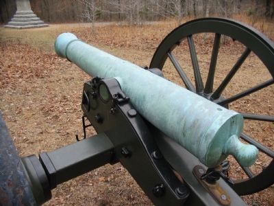
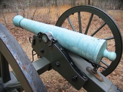
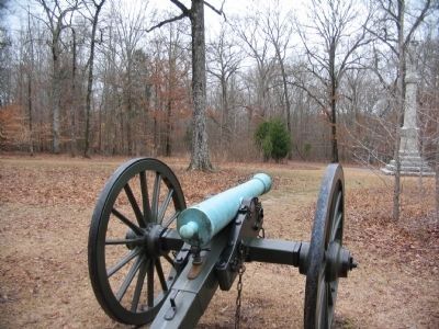
5. Gunner's View
View from behind the Ames gun looking south in the direction of the Confederate assaults made upon the Federal lines in the afternoon of April 6, 1862. The monument to the right is the Arkansas Memorial. Wood's, Stewart's and Gibson's Confederate Brigades made advances along the Eastern Corinth Road (running behind the memorial into the distant center.
Credits. This page was last revised on June 16, 2016. It was originally submitted on September 27, 2009, by Craig Swain of Leesburg, Virginia. This page has been viewed 1,046 times since then and 16 times this year. Photos: 1, 2, 3, 4, 5. submitted on September 27, 2009, by Craig Swain of Leesburg, Virginia.
