Fort Snelling in Hennepin County, Minnesota — The American Midwest (Upper Plains)
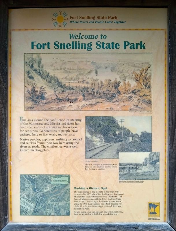
Welcome to Fort Snelling State Park
This area around the confluence, or meeting of the Minnesota and Mississippi rivers has been the center of activity in this region for centuries. Generations of people have gathered here to live, work, and recreate.
Native peoples, explorers, military personnel and settlers found their way here using the rivers as roads. The confluence was a well-known meeting place.
Fort Snelling From Two Miles Below, Seth Eastman
Minnesota Historical Society
Railroad Below Fort Snelling, ca. 1890.
Minnesota Historical Society
This trail, now part of Fort Snelling State Park, was once a railroad line that linked Fort Snelling to Mendota.
Milwaukee Short Line bridge at Fort Snelling, ca. 1880.
Benjamin Franklin Upton, Minnesota Historical Society
Marking a Historic Spot
The significance of the meeting of the rivers was recognized in 1960 when Fort Snelling was designated Minnesota's first National Historic Landmark. The State of Minnesota established Fort Snelling State Park in 1962, protecting it for future generations to enjoy. In 1988, Fort Snelling State Park became part of the 72 mile long Mississippi National River and Recreation Area.
As you make your way through the confluence area, look for signs that unfold this remarkable story.
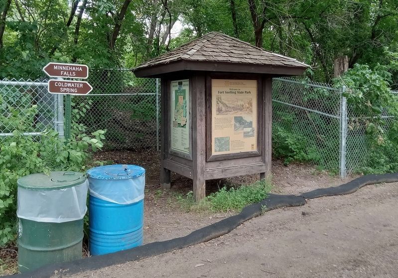
Erected by Minnesota Department of Natural Resources.
Topics. This historical marker is listed in these topic lists: Forts and Castles • Parks & Recreational Areas • Railroads & Streetcars • Waterways & Vessels.
Location. 44° 54.318′ N, 93° 11.892′ W. Marker is in Fort Snelling, Minnesota, in Hennepin County. Marker is at the intersection of Minnehaha Park Drive and E. 54th Street, on the left when traveling south on Minnehaha Park Drive. The marker is at the north terminus of the Minnehaha Trail, a paved recreation path leading from Minnehaha Park to Fort Snelling State Park. Touch for map. Marker is in this post office area: Saint Paul MN 55111, United States of America. Touch for directions.
Other nearby markers. At least 8 other markers are within walking distance of this marker. Hidden Falls (approx. 0.3 miles away); Engineering the Mississippi / Ford Motor Company (approx. 0.6 miles away); Hydro Electric Turbine (approx. 0.6 miles away); The Lock and Dam No. 1 Story (approx. 0.7 miles away); Wing Dams (approx. 0.7 miles away); Big Water / Stairway of Water (approx. 0.7 miles away); John Harrington Stevens House (approx. 0.8 miles away); 3 – Master Map (approx. 0.8 miles away).
Credits. This page was last revised on July 8, 2023. It was originally submitted on July 8, 2023, by McGhiever of Minneapolis, Minnesota. This page has been viewed 56 times since then and 11 times this year. Photos: 1, 2. submitted on July 8, 2023, by McGhiever of Minneapolis, Minnesota. • J. Makali Bruton was the editor who published this page.

