Near Kearney in Buffalo County, Nebraska — The American Midwest (Upper Plains)
The Great Plains
Photographed by Jeff Leichsenring, June 29, 2023
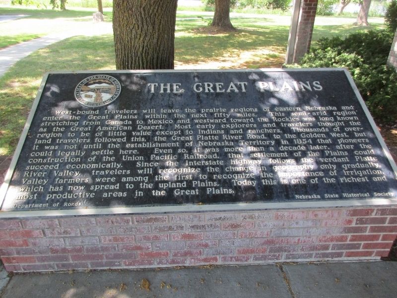
1. The Great Plains Marker
West-bound travelers will leave the prairie regions of eastern Nebraska and enter the Great Plains the next within fifty miles. This semi-arid region stretching from Canada to Mexico and westward toward the Rockies was long known as the Great American Desert. Most early explorers and travelers thought the region to be of little value except to Indians and ranchers. Thousands of over-land travelers followed this, the Great Platte River Road, to the Golden West, but it was not until the establishment of Nebraska Territory in 1854 that pioneers could legally settle here. Even so, it was more than a decade later, after the construction of the Union Pacific Railroad, that settlement of the Plains could succeed economically. Since the Interstate highway follows the verdant Platte River Valley travelers will recognize the change in geography only gradually. Valley farmers were among the first to recognize the importance of irrigation, which has now spread to the upland Plains. Today this is one of the richest and most productive areas in the Great Plains.
Erected by Nebraska State Historical Society. (Marker Number
this page online
Topics and series. This historical marker is listed in these topic lists: Agriculture • Settlements & Settlers. In addition, it is included in the Nebraska State Historical Society series list.
Location. 40° 40.255′ N, 99° 7.308′ W. Marker is near Kearney, Nebraska, in Buffalo County. It is on Interstate 80 at milepost 271, on the right when traveling west. Touch for map. Marker is in this post office area: Kearney NE 68845, United States of America. Touch for directions.

Regionally, this marker is in Central Nebraska and in the Platte River Valley. It is also in the American Midwest, in the Corn Belt, and on the prairies. Globally, it is in North America, the Western Hemisphere, the Western World, and the Anglosphere. Historically, it finds itself in what was once the Louisiana Purchase.
Other nearby markers. At least 8 other markers are within 2 miles of this marker, measured as the crow flies: Boyd House (approx. 1.8 miles away); German Baptist Church of the Brethren (approx. 1.8 miles away); Loup River Freighter Hotel (approx. 1.8 miles away); Baldwin Engine 481
Photographed by Jeff Leichsenring, June 29, 2023
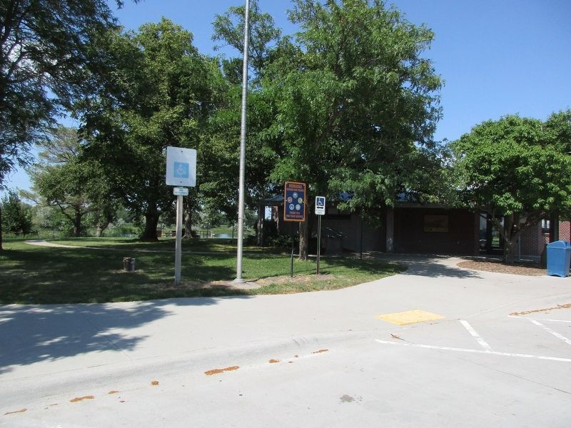
2. The Great Plains Marker
Credits. This page was last revised on July 21, 2023. It was originally submitted on July 15, 2023, by Jeff Leichsenring of Garland, Texas. This page has been viewed 336 times since then and 43 times this year. Photos: 1, 2. submitted on July 15, 2023, by Jeff Leichsenring of Garland, Texas. • J. Makali Bruton was the editor who published this page.
