Near Wapiti in Park County, Wyoming — The American West (Mountains)
Home for Ten Thousand Years
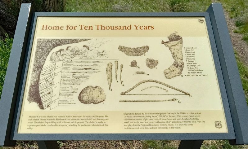
Excavations funded by the National Geographic Society in the 1960's revealed at least 38 layers of habitation, dating from 7,000 BC to the early 19th century. Most layers contained thousands of pieces of chipped stone, bone, and tools. Leather, basketry, wood, and shells were also preserved because of the dry conditions within the cave. This site was placed on the National Register of Historic Places. It is a key site in the establishment of prehistoric cultural chronology of the region.
1 Grooved Axe
2 Bone Awl
3 Bone Awl
4 Bone Awl
5 Basketry
6 Basketry
7 Basketry
8 Skin Boot
9 Cordage Tool
10 Bone Awl
11 Fire Drill Bow
12 Arrow Shaft
Circa 2455 BC to 734 AD
Erected by United States Forest Service.
Topics. This historical marker is listed in these topic lists: Anthropology & Archaeology • Native Americans.
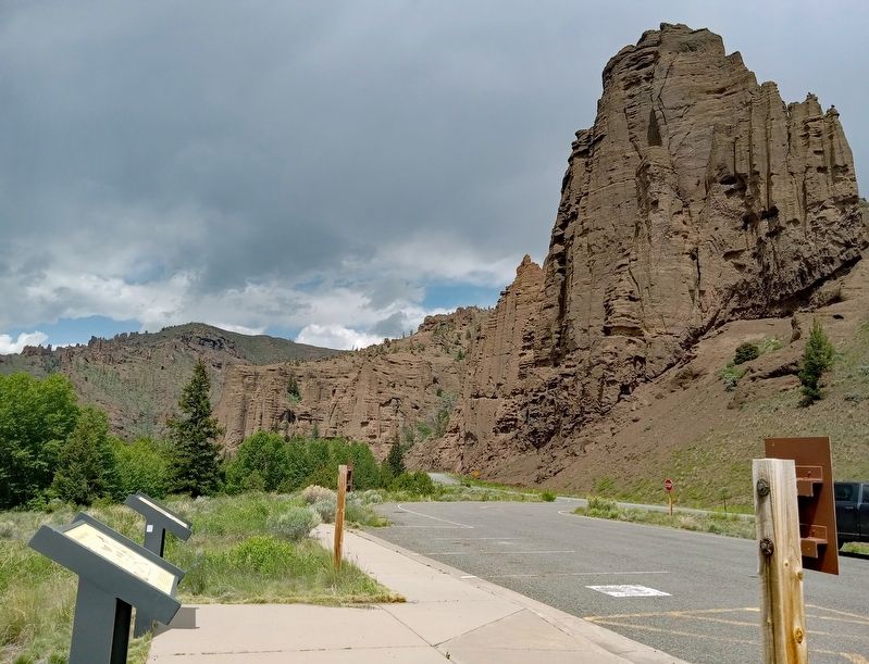
Location. 44° 27.301′ N, 109° 45.819′ W. Marker is near Wapiti, Wyoming, in Park County. Marker is on North Fork Highway (U.S. 16), on the left when traveling west. Marker is in Shoshone National Forest, at a wayside just west of the Newton Creek Campground. Touch for map. Marker is in this post office area: Cody WY 82414, United States of America. Touch for directions.
Other nearby markers. At least 2 other markers are within 9 miles of this marker, measured as the crow flies. Solving the Prehistoric Puzzle (approx. 8.9 miles away); Touch the Past (approx. 8.9 miles away).
Also see . . . Mummy Cave on Wikipedia. (Submitted on July 15, 2023, by McGhiever of Minneapolis, Minnesota.)
Credits. This page was last revised on July 15, 2023. It was originally submitted on July 15, 2023, by McGhiever of Minneapolis, Minnesota. This page has been viewed 61 times since then and 14 times this year. Photos: 1, 2. submitted on July 15, 2023, by McGhiever of Minneapolis, Minnesota. • Andrew Ruppenstein was the editor who published this page.

