Union City in Darke County, Ohio — The American Midwest (Great Lakes)
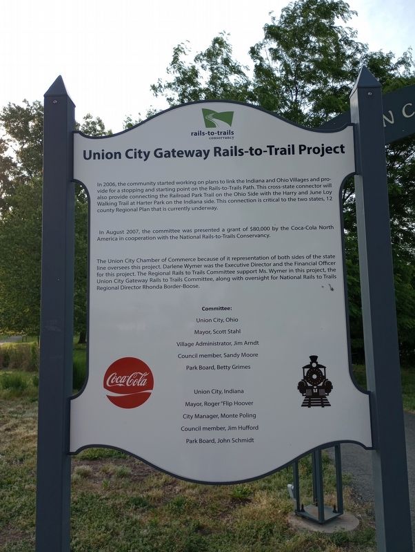
Union City Gateway Rails-to-Trail Project
In 2006, the community started working on plans to link the Indiana and Ohio Villages and provide for a stopping and starting point on the Rails-to-Trails Path. This cross state connector will also provide connecting the Railroad Park Trail on the Ohio Side with the Harry and June Loy Walking Trail at Harter Park on the Indiana side. This connection is critical to the two states, 12 county Regional Plan that is currently underway.
In August 2007, the committee was presented a grant of $80,000 by the Coca-Cola North America in cooperation with the National Rails-to-Trails Conservancy.
The Union City Chamber of Commerce because of it representation of both sides of the state line oversees this project. Darlene Wymer was the Executive Director and the Financial Officer for this project. The Regional Rails to Trails Committee support Ms. Wymer in this project, the Union City Gateway Rails to Trails Committee, along with oversight for National Rails to Trails Regional Director Rhonda Border-Boose.
Topics. This historical marker is listed in these topic lists: Parks & Recreational Areas • Railroads & Streetcars • Roads & Vehicles. A significant historical month for this entry is August 2007.
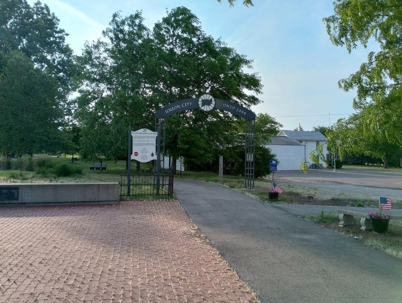
Location. 40° 11.874′ N, 84° 48.338′ W. Marker is in Union City, Ohio, in Darke County. Marker is on Union City Gatway Trail east of North State Line Road, on the left when traveling east. Touch for map. Marker is at or near this postal address: 112 N State Line St, Union City OH 45390, United States of America. Touch for directions.
Other nearby markers. At least 8 other markers are within walking distance of this marker. A Community On The Line (within shouting distance of this marker); Fire Department (about 400 feet away, measured in a direct line); The Red 73 Creamery (about 400 feet away); Transportation History (about 500 feet away); Union City Railroad History (about 700 feet away); Raphael Kirshbaum Building (approx. 0.2 miles away in Indiana); In Memoriam (approx. 0.2 miles away in Indiana); Military Tribute Park (approx. ¼ mile away in Indiana). Touch for a list and map of all markers in Union City.
Credits. This page was last revised on July 24, 2023. It was originally submitted on July 16, 2023, by Craig Doda of Napoleon, Ohio. This page has been viewed 66 times since then and 24 times this year. Photos: 1, 2. submitted on July 16, 2023, by Craig Doda of Napoleon, Ohio. • Devry Becker Jones was the editor who published this page.

