Near Wapiti in Park County, Wyoming — The American West (Mountains)
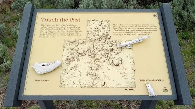
Touch the Past
Photographed by McGhiever, June 26, 2023
1. Touch the Past Marker
Most of the bone found belonged to mountain sheep, probably killed in winter. This determination was based upon aging of the teeth in the jawbones recovered here. All of the skull parts found were from ewes and lambs. Even today it is common to find "nursery herds" wintering in the North Fork Valley until April.
Sheep Jaw Bone
Big Horn Sheep Ram's Horn
Erected by United States Forest Service.
Topics. This historical marker is listed in these topic lists: Animals • Anthropology & Archaeology • Indigenous Peoples and Communities.
Location. 44° 27.804′ N, 109° 35.027′ W. Marker is near Wapiti, Wyoming, in Park County. It is on North Fork Highway west of County Route 414, on the left when traveling west. Marker is at an unmarked wayside
this page online

Regionally, this marker is in the Bighorn Basin and in Greater Yellowstone. It is also in the American Mountain West and in the Lewis & Clark Corridor. Globally, it is in North America, the Rocky Mountains, the Western Hemisphere, the Western World, and the Anglosphere.
Other nearby markers. At least 7 other markers are within 9 miles of this marker, measured as the crow flies: Solving the Prehistoric Puzzle (here, next to this marker); Protection Proves Profitable (approx. 2.9 miles away); Is This Forest Healthy? (approx. 2.9 miles away); Shoshone National Forest (approx. 2.9 miles away); A Burning Need (approx. 2.9 miles away); Absaroka Volcanic Field (approx. 6.1 miles away); Home for Ten Thousand Years (approx. 8.9 miles away).
Photographed by McGhiever, June 26, 2023
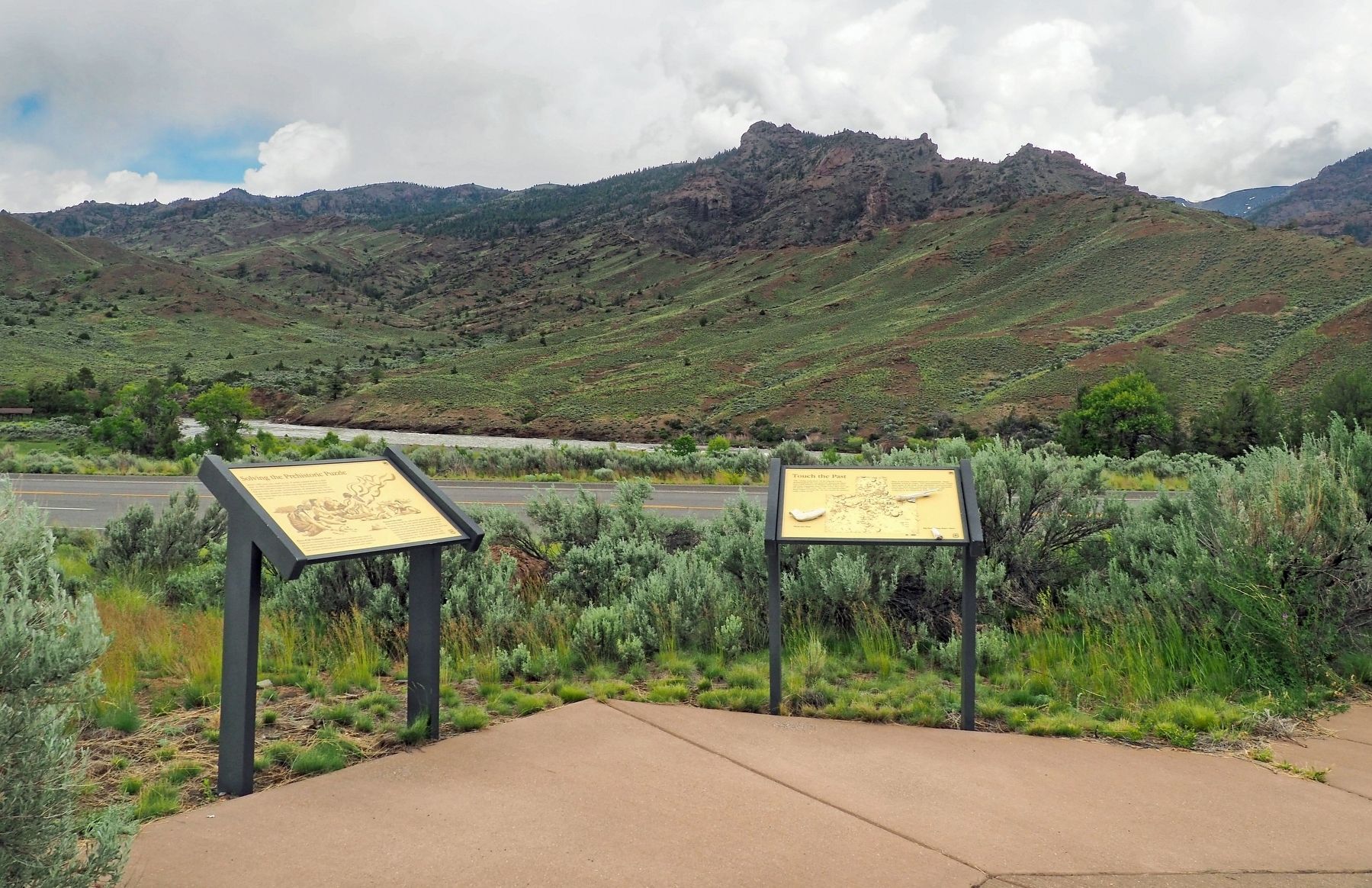
2. Touch the Past marker (right) at a wayside overlooking the North Fork Canyon
Credits. This page was last revised on July 18, 2023. It was originally submitted on July 17, 2023, by McGhiever of Minneapolis, Minnesota. This page has been viewed 215 times since then and 33 times this year. Photos: 1, 2. submitted on July 17, 2023, by McGhiever of Minneapolis, Minnesota. • Andrew Ruppenstein was the editor who published this page.
