Financial District in Manhattan in New York County, New York — The American Northeast (Mid-Atlantic)
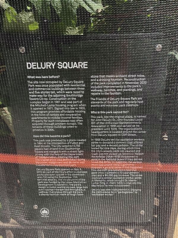
DeLury Square
What was here before?
The site now occupied by DeLury Square Park was once populated with residential and commercial buildings between three and five stories tall, which were razed to make way for the adjoining Southbridge Towers Co-op. construction on the complex began in 1961 and was part of the Mitchell-Lama housing program when it opened in 1971. Signed into law in 1955, this program provides affordable housing in the form of rentals and cooperative apartments to middle-income families. property for such complexes was often acquired through eminent domain. The tenants of these buildings voted to privatize in 2005.
How did this become a park?
This park was predated by a plaza created in 1984 at the intersection of Fulton and Gold Streets. The City acquired, 5,792 square feet of land from Southbridge Towers and merged it with a street right-of-way with the help of the Department of Transportation, creating this park. The original plaza was demolished during the street realignment and its name was transferred to this improved park.
DeLury Square Park opened on Nov. 8, 2010 as part of the City's effort to increase parks and open spaces in the downtown area following the September 11th terrorist attacks. The construction of the park was funded by the Lower Manhattan Development Corporation. The park's design included seating alcoves, large rock outcroppings interspersed throughout, a pathway that snakes through the park, a display fountain made of rough hewn stone that masks ambient street noise, and a drinking fountain. Reconstruction of the park completed in November 2020 included improvements to the park's walkway, benches, and plantings, and repairs to the fountains.
The Friends of DeLury Square Park are stewards of the park and regularly host events and volunteer park cleanups.
Who is this park named for?
This park, like the original plaza, is named for John DeLury Sr., who founded Local 831 of the Uniformed Sanitationmen's Association in 1956 and served as its president until 1978. The organization's headquarters is located around the corner from DeLury Square on Cliff Street.
In 1968 DeLury led the sanitation workers strike to demand a decent pension. The strike lasted for nine days, during which time the city's streets were not cleaned and trash was not picked up. Governor Nelson Rockefeller (1908-1979) threatened to send in the National Guard if they did not break the strike. In response, the various municipal unions came together to threaten a general strike if that happened. This standoff precipitated a deal that gave union members a 20-year pension plan and a $5,000 pay increase. The strike inspired a similar sanitation worker strike in Memphis, which brought Dr. Mr. Luther King Jr. (1929 - 1968) to that city the day before he was assassinated.
DeLury was also instrumental in changing the institutional term "garbageman" to "sanitation worker."
Erected by NYC Parks.
Topics. This historical marker is listed in these topic lists: Charity & Public Work • Labor Unions • Parks & Recreational Areas. A significant historical date for this entry is September 11, 1961.
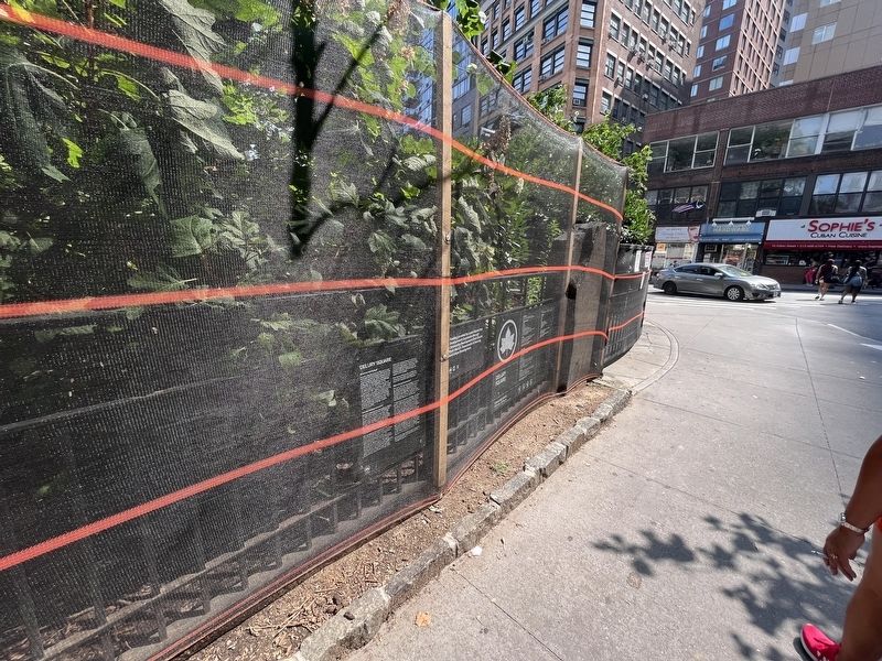
Location. 40° 42.554′ N, 74° 0.314′ W. Marker is in Manhattan, New York, in New York County. It is in the Financial District. Marker is on Gold Street just north of Fulton Street, on the right when traveling north. Touch for map. Marker is at or near this postal address: 57 Gold Street, New York NY 10038, United States of America. Touch for directions.
Other nearby markers. At least 8 other markers are within walking distance of this marker. Edison Underground Central Station System (about 500 feet away, measured in a direct line); Bowne & Company (about 600 feet away); Titanic Memorial Lighthouse (about 700 feet away); John Street Church (about 800 feet away); John Street Methodist Church (about 800 feet away); a different marker also named John Street Methodist Church (about 800 feet away); a different marker also named John Street Church (about 800 feet away); South Street Seaport (approx. 0.2 miles away). Touch for a list and map of all markers in Manhattan.
Credits. This page was last revised on July 17, 2023. It was originally submitted on July 17, 2023, by Devry Becker Jones of Washington, District of Columbia. This page has been viewed 44 times since then and 3 times this year. Photos: 1, 2. submitted on July 17, 2023, by Devry Becker Jones of Washington, District of Columbia.

