Stroudsburg in Monroe County, Pennsylvania — The American Northeast (Mid-Atlantic)
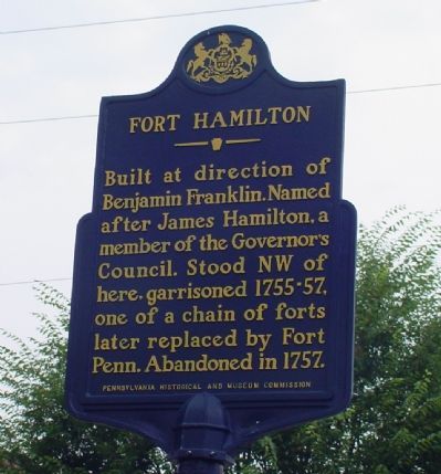
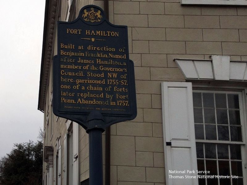
Fort Hamilton
Erected 1967 by Pennsylvania Historical and Museum Commission.
Topics and series. This historical marker is listed in these topic lists: Colonial Era • Forts and Castles • War, French and Indian. In addition, it is included in the Pennsylvania Historical and Museum Commission series list. A significant historical year for this entry is 1757.
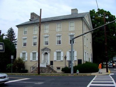
Location. 40° 59.058′ N, 75° 11.877′ W. Marker is in Stroudsburg, Pennsylvania, in Monroe County. Marker is at the intersection of Main Street (Business U.S. 209) and 9th Street, on the right when traveling south on Main Street. On the northwest corner of the intersection, next to the Straub house. Touch for map. Marker is at or near this postal address: 901 Main Street, Stroudsburg PA 18360, United States of America. Touch for directions.
Other nearby markers. At least 8 other markers are within walking distance of this marker. A different marker also named Fort Hamilton (here, next to this marker); Stroud Mansion (a few steps from this marker); a different marker also named Stroud Mansion (within shouting distance of this marker); Friends Burial Ground (about 700 feet away, measured in a direct line); Hollinshead House (approx. 0.2 miles away); Grand Army of the Republic Wadsworth Post #150 (approx. ¼ mile away); Monroe County World War Memorial (approx. ¼ mile away); Veterans Memorial (approx. ¼ mile away). Touch for a list and map of all markers in Stroudsburg.
More about this marker. This marker replaced the original PHMC marker that read, "Built in 1756 by the Province of Pennsylvania, and garrisoned during the French and Indian War. Its site was just beyond this point".
Also see . . . MarkerQuest - Fort Hamilton. An overview of the fort's history and location. (Submitted on October 20, 2021, by Laura Klotz of Northampton, Pennsylvania.)
Credits. This page was last revised on July 21, 2023. It was originally submitted on November 13, 2005, by J. J. Prats of Powell, Ohio. This page has been viewed 2,210 times since then and 47 times this year. Last updated on July 18, 2023, by Carl Gordon Moore Jr. of North East, Maryland. Photos: 1, 2. submitted on November 13, 2005. 3. submitted on August 7, 2019. • Bill Pfingsten was the editor who published this page.


