Near Pound in Wise County, Virginia — The American South (Mid-Atlantic)
Sunnydale Farm
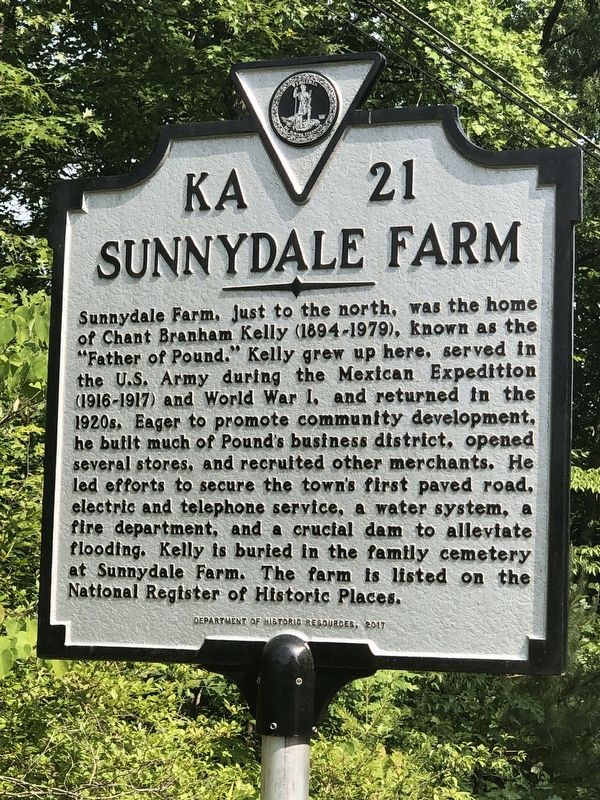
Photographed by Duane and Tracy Marsteller, June 18, 2023
1. Sunnydale Farm Marker
Erected 2017 by Virginia Department of Historic Resources. (Marker Number KA-21.)
Topics and series. This historical marker is listed in these topic lists: Agriculture • Charity & Public Work • Industry & Commerce. In addition, it is included in the Virginia Department of Historic Resources (DHR) series list. A significant historical year for this entry is 1894.
Location. 37° 9.249′ N, 82° 33.48′ W. Marker is near Pound, Virginia, in Wise
this page online

Regionally, this marker is in Southwest Virginia. It is also in the American South, specifically in the Upper South, in Appalachia, and specifically in Southern Appalachia. Globally, it is in North America, the Western Hemisphere, the Western World, and the Anglosphere. Historically, it finds itself in what was once the original Cherokee Nation, the territory of the Mississippian Culture, one of the original Thirteen Colonies, one of the Confederate States of America, and the Antebellum South.
Other nearby markers. At least 8 other markers are within 4 miles of this marker, measured as the crow flies: Daniel Webster Dotson (approx. 1.8 miles away); a different marker also named The Crooked Road / Dickenson County (approx. 1.8 miles away); Wise County / Dickenson County (approx. 1.8 miles away); Pound War Memorial (approx. 3.2 miles away); These Men Gave the Supreme Sacrifice for Our Freedom
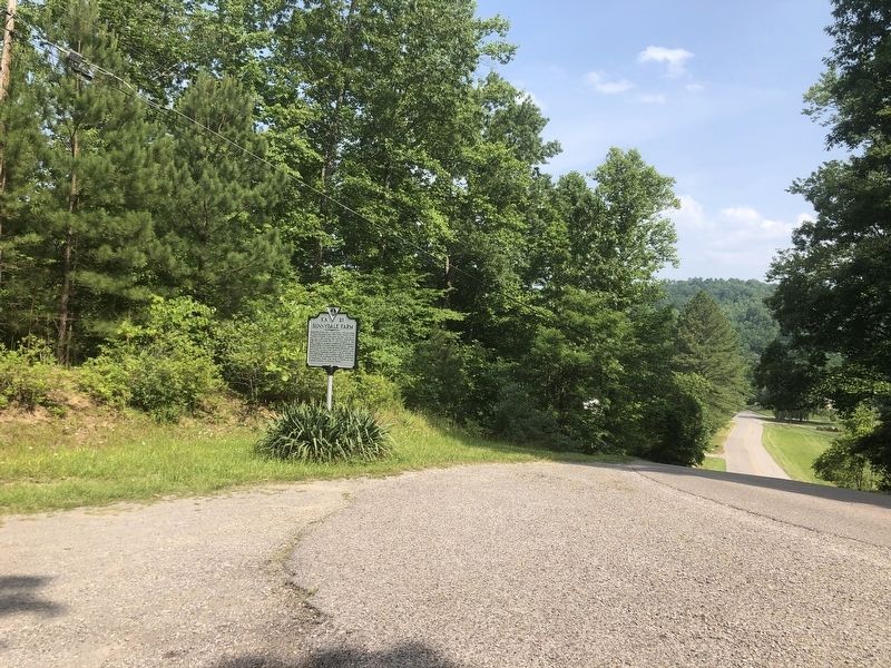
Photographed by Duane and Tracy Marsteller, June 18, 2023
2. Sunnydale Farm Marker
Another marker is no longer nearby. The Crooked Road / Dickenson County (was approx. 1.8 miles away but has been replaced with another marker now near it).
Regarding Sunnydale Farm. Excerpt from the National Register nomination:
Beginning in the early 1920s, Chant [Kelly] was a leading developer of the nearby community of Pound, building multiple commercial buildings, providing electrical, telephone, and fire prevention services, and acting as Pound’s postmaster for twelve years starting in 1922 and as president of the town’s chamber of commerce. For these and other efforts Kelly was honored in period press accounts and was later eulogized as the Father of Pound.
Also see . . . Sunnydale Farm (PDF). National Register nomination for the farm, which was listed in 2011. (National Archives) (Submitted on July 18, 2023, by Duane and Tracy Marsteller of Murfreesboro, Tennessee.)
Credits. This page was last revised on July 18, 2023. It was originally submitted on July 18, 2023, by Duane and Tracy Marsteller of Murfreesboro, Tennessee. This page has been viewed 594 times since then and 91 times this year. Photos: 1, 2. submitted on July 18, 2023, by Duane and Tracy Marsteller of Murfreesboro, Tennessee.
