Newport in Campbell County, Kentucky — The American South (East South Central)
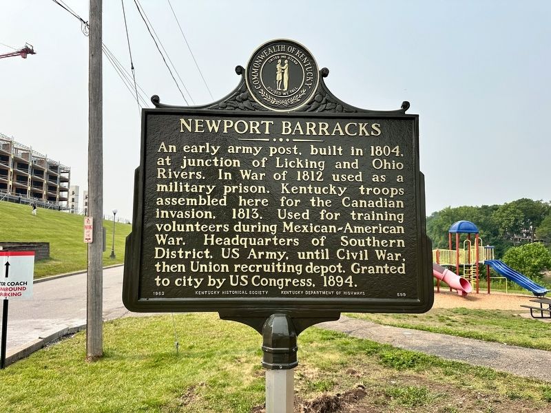
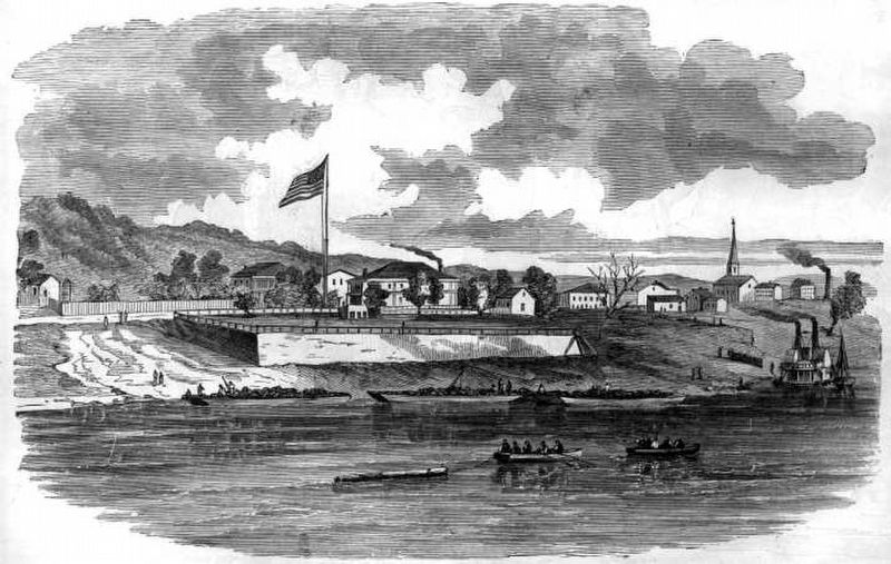
Newport Barracks
Erected 1963 by Kentucky Historical Society and Kentucky Department of Highways. (Marker Number 599.)
Topics. This historical marker is listed in these topic lists: Parks & Recreational Areas • War of 1812 • War, Mexican-American • War, US Civil. A significant historical year for this entry is 1804.
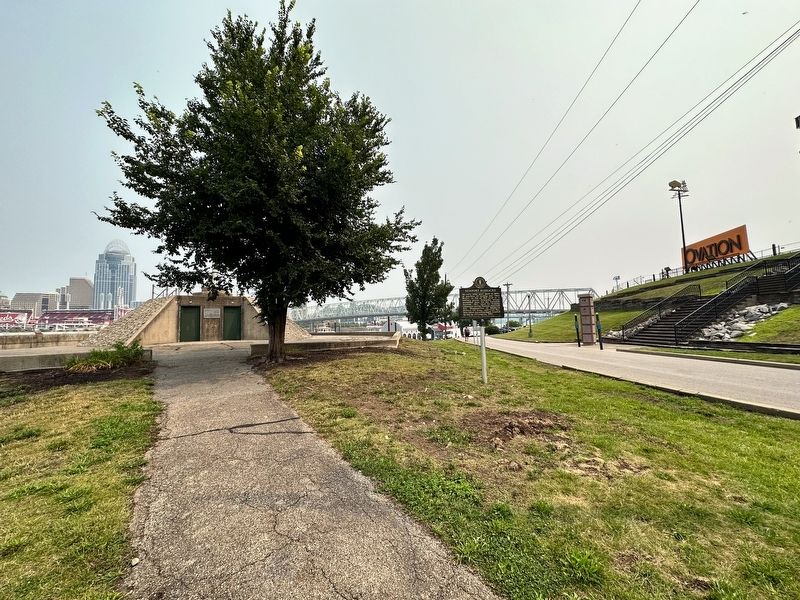
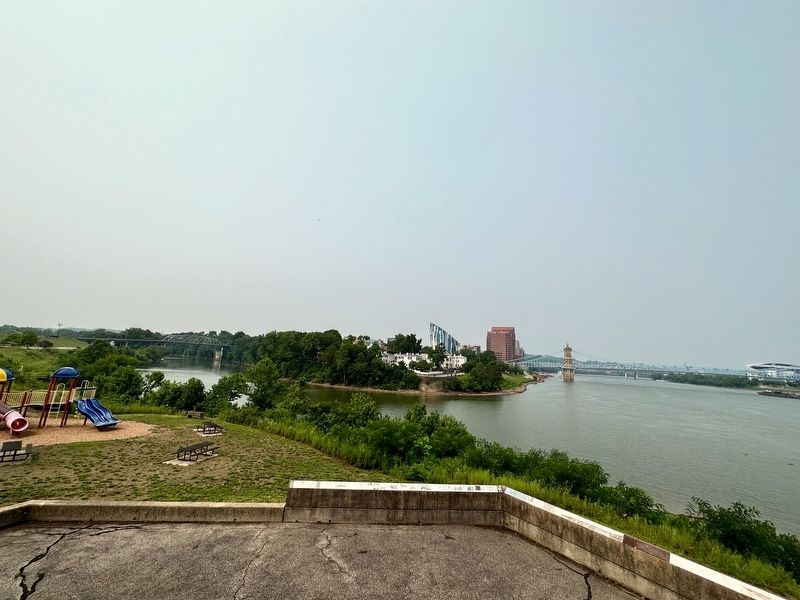
Location. 39° 5.536′ N, 84° 30.138′ W. Marker is in Newport, Kentucky, in Campbell County. Marker is on Riverboat Row, 0.1 miles west of Columbia Street, on the right when traveling south. Marker is located at the General James Taylor Park. Touch for map. Marker is at or near this postal address: 100 Riverboat Row, Newport KY 41071, United States of America. Touch for directions.
Other nearby markers. At least 8 other markers are within walking distance of this marker. Fort Thomas (a few steps from this marker); Defending the Valley (a few steps from this marker); The Civil War in Northern Kentucky (a few steps from this marker); Flood Walls (a few steps from this marker); Cincinnati Skyline Pre-1865 (a few steps from this marker); A New Perspective: 1865-1900 (within shouting distance of this marker); Skyscrapers and a Stadium: 1900-1972 (within shouting distance of this marker); Licking River (within shouting distance of this marker). Touch for a list and map of all markers in Newport.
Also see . . . Newport Barracks. Excerpt:
After the Civil War ended, the Barracks lost their usefulness as one company posts were giving way to larger installations. Its location at the confluence of the Licking and Ohio Rivers subjected it to frequent flooding, especially during the floods of 1882, 1883 and 1884. In light of that factor, the Secretary of War purchased 112 acres (0.5 km2) on a hill above the Ohio River three miles (5 km) east of Newport which became Fort Thomas.(Submitted on July 18, 2023, by J.T. Lambrou of New Boston, Michigan.)
Credits. This page was last revised on July 19, 2023. It was originally submitted on July 18, 2023, by J.T. Lambrou of New Boston, Michigan. This page has been viewed 101 times since then and 29 times this year. Photos: 1, 2, 3, 4. submitted on July 18, 2023, by J.T. Lambrou of New Boston, Michigan. • James Hulse was the editor who published this page.


