Lilydale in Dakota County, Minnesota — The American Midwest (Upper Plains)
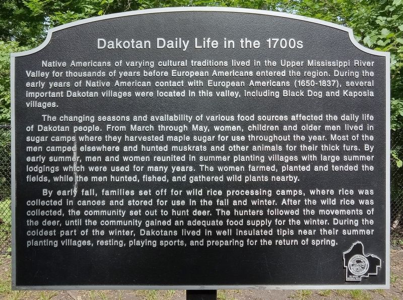
Dakotan Daily Life in the 1700s
Native Americans of varying cultural traditions lived in the Upper Mississippi River Valley for thousands of years before European Americans entered the region. During the early years of Native American contact with European Americans (1650-1837), several important Dakotan villages were located in this valley, including Black Dog and Kaposia villages.
The changing seasons and availability of various food sources affected the daily life of Dakotan people. From March through May, women, children and older men lived in sugar camps where they harvested maple sugar for use throughout the year. Most of the men camped elsewhere and hunted muskrats and other animals for their thick furs. By early summer, men and women reunited in summer planting villages with large summer lodgings which were used for many years. The women farmed, planted and tended the fields, while the men hunted, fished, and gathered wild plants nearby.
By early fall, families set off for wild rice processing camps, where rice was collected in canoes and stored for use in the fall and winter. After the wild rice was collected, the community set out to hunt deer. The hunters followed the movements of the deer, until the community gained an adequate food supply for the winter. During the coldest part of the winter, Dakotans lived in well insulated tipis near their summer planting villages, resting, playing sports, and preparing for the return of spring.
Erected by Dakota County.
Topics. This historical marker is listed in these topic lists: Anthropology & Archaeology • Native Americans. A significant historical year for this entry is 1650.
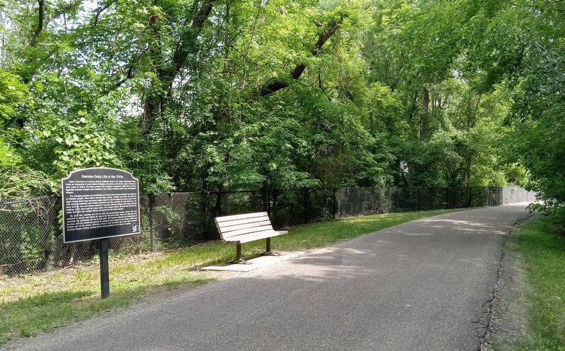
Location. 44° 53.471′ N, 93° 9.274′ W. Marker is in Lilydale, Minnesota, in Dakota County. The marker is on the Big Rivers Regional Trail, northeast of where the trail crosses State Highway 13 in Mendota. Touch for map. Marker is in this post office area: Saint Paul MN 55118, United States of America. Touch for directions.
Other nearby markers. At least 8 other markers are within walking distance of this marker. Native American Peoples and Clues to the Past (about 600 feet away, measured in a direct line); Sibley House Historic Site (approx. 0.6 miles away); Confluence of the Rivers (approx. 0.6 miles away); Henry Sibley and Old Mendota (approx. 0.6 miles away); The First Stone House (approx. 0.6 miles away); Mendota / Sibley House Association (approx. 0.6 miles away); General Henry Hastings Sibley (approx. 0.6 miles away); Faribault House (approx. 0.6 miles away).
Credits. This page was last revised on July 21, 2023. It was originally submitted on July 19, 2023, by McGhiever of Minneapolis, Minnesota. This page has been viewed 55 times since then and 14 times this year. Photos: 1, 2. submitted on July 19, 2023, by McGhiever of Minneapolis, Minnesota. • J. Makali Bruton was the editor who published this page.

