South El Monte in Los Angeles County, California — The American West (Pacific Coastal)
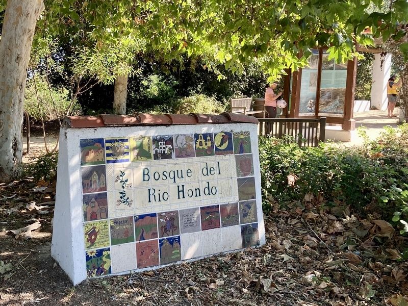
Bosque Del Rio Hondo
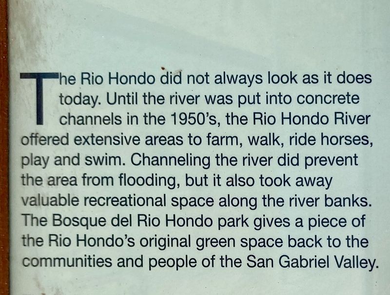
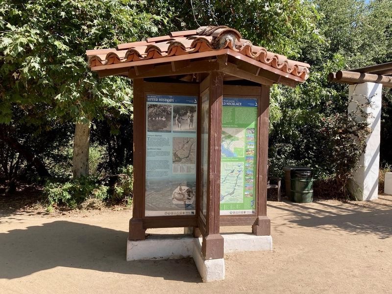
The Rio Hondo did not always look as it does today. Until the river was put into concrete channels in the 1950's, the Rio Hondo River offered extensive areas to farm, walk, ride horses, play and swim. Channeling the river did prevent the area from flooding, but it also took away valuable recreational space along the river banks. The Bosque del Rio Hondo park gives a piece of the Rio Hondo's original green space back to the communities and people of the San Gabriel Valley.
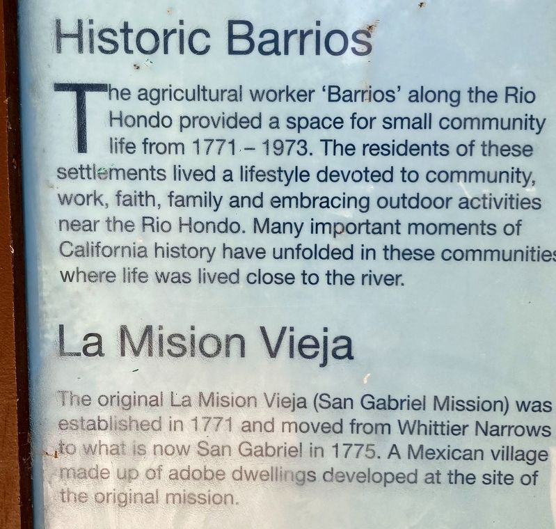
Historic Barrios
The agricultural worker 'Barrios' along the Rio Hondo provided a space for small community life from 1771 - 1973. The residents of these settlements lived a lifestyle devoted to community, work, faith, family and embracing outdoor activities near the Rio Hondo. Many important moments of California history have unfolded in these communities where life was lived close to the river.
La Mission Vieja
The original La Mission Vieja (San Gabriel Mission) was established in 1771, and moved from Whittier Narrows to what is now San Gabriel in 1775. A Mexican village made up of adobe dwellings developed at the site of the original mission.
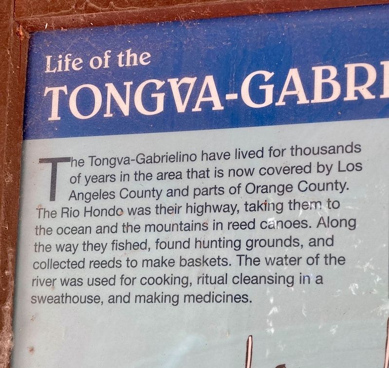
Life of the Tongva-Gabrielino
The Tongva-Gabrielino have lived for thousands of years in the area that is now covered by Los Angeles County and parts of Orange County. The Rio Hondo was their highway, taking them to the ocean and the mountains in reed canoes. Along the way they fished, found hunting grounds, and collected reeds to make baskets. The water of the river was used for cooking, ritual cleansing in a sweathouse, and making medicines.
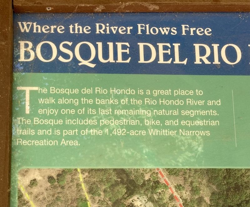
Where the River Flows Free
The Bosque del Rio Hondo is a great place to walk along the banks of the Rio Hondo River and enjoy one of its last remaining natural segments. The Bosque includes pedestrian, bike, and equestrian trails and is part of the 1,492-acre Whittier Narrows Recreation Area.
Topics. This historical marker is listed in these topic lists: Hispanic Americans • Native Americans • Settlements & Settlers.
Location. 34° 1.759′ N, 118° 4.119′ W. Marker is in South El Monte, California, in Los Angeles County. Marker can be reached from San Gabriel Boulevard just west of Rosemead Boulevard, on the right when traveling west. Touch for map. Marker is at or near this postal address: 9311 San Gabriel Blvd, South El Monte CA 91733, United States of America. Touch for directions.
Other nearby markers. At least 8 other markers are within 4 miles of this marker, measured as the crow flies. Mission Vieja (approx. 0.3 miles away); Juan Matias Sanchez Adobe (approx. 1.1 miles away); Casa de Governor Pío Pico (approx. 2.4 miles away); Garvey Ranch House (approx. 3.1 miles away); The Lion (approx. 3.1 miles away); El Monte (approx. 3.2 miles away); Greek George (approx. 3.2 miles away); The Frederick G. Exner Memorial Windmill (approx. 3½ miles away).
Credits. This page was last revised on July 19, 2023. It was originally submitted on July 19, 2023, by Craig Baker of Sylmar, California. This page has been viewed 134 times since then and 57 times this year. Photos: 1, 2, 3, 4, 5, 6. submitted on July 19, 2023, by Craig Baker of Sylmar, California.
