Highland Park in Los Angeles in Los Angeles County, California — The American West (Pacific Coastal)
The Arroyo Seco
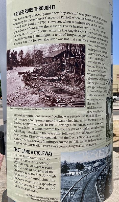
A River Runs Through It
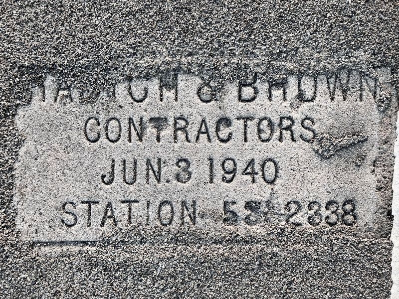
The name Arroyo Seco, Spanish for "dry stream," was given to this important waterway by the explorer Gaspar de Portolà when his Mexico Expedition arrived at its banks in 1770. However, when seemingly dry on the surface, groundwater flows from the seasonal river's headwaters in the San Gabriel Mountains to its confluence with the Los Angeles River. De Portolà and his men encountered the Hahamogna, a tribe of Tongva people who had settlements in the area. For the Tongva, the river was not just a source of water and food but even in dry months, an important cultural center, transportation route, and wildlife corridor. The river wound 25 miles from its source at Mount Wilson to the border of what would become the neighborhoods of Cypress Park and Lincoln Heights. With sufficient rainfall or melting snow, the usually trickling water flow would grow surprisingly turbulent. Severe flooding was recorded in 1861, 1882, and 1889. As new development near the watershed increased, the impact of its floods grew more serious. In 1914, 10 bridges, 30 homes, and 43 lives were lost from flooding. Inmates from the county jail were tasked with building walls along its banks. In the years that followed, the Los Angeles County Flood Control District was created, and the Devil's Gate Dam was built upriver. The last serious flooding occurred in 1938, as the Federal Works Progress Administration (WPA) was completing its channelization.
First Came a Cycleway
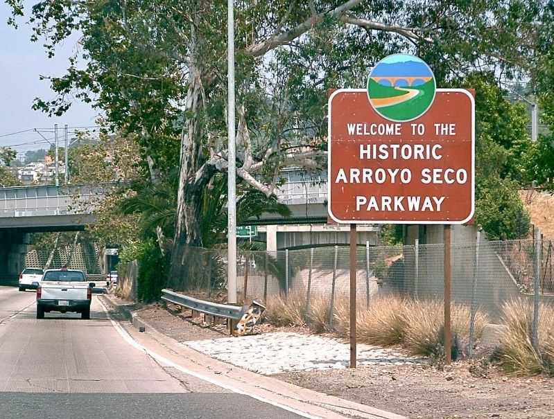
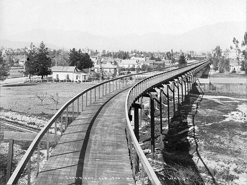
The tree-lined waterway also lends its name to the Arroyo Seco Parkway, an express roadway that is often considered the first freeway in the U.S. Although dedicated to the automobile, the roadway's roots lie in a speedway built exclusively for bicycles, the California Cycleway.
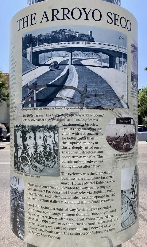
The 1890s had seen Los Angeles gripped by a "bike boom," with nearly half of both Pasadena and Los Angeles residents owning bicycles. Cyclists organized cycling clubs, which advocated for better roads than the unpaved, muddy or dusty, deeply rutted ones shared with streetcars and horse-drawn vehicles. The bicycle-only speedway was an ingenious alternative.
The cycleway was the brainchild of businessman and future Pasadena mayor Horace Murrel Dobbins, who planned to construct an elevated tollway connecting the downtowns of Pasadena and Los Angeles via Highland Park. Underfunded and behind schedule, a section opened in 1900 but construction stalled at Raymond Hill in South Pasadena. Faced with losing his right-of-way (which never extended past Avenue 60) through eminent domain, Dobbins proposed replacing the cycleway with a monorail. Voters rejected that proposal in 1919 because by then, the Los Angeles Board of Park Commissioners were already envisioning a network of scenic parkways and boulevards, the centerpiece of which was to be the Arroyo Seco Parkway.
From Parkway to Freeway
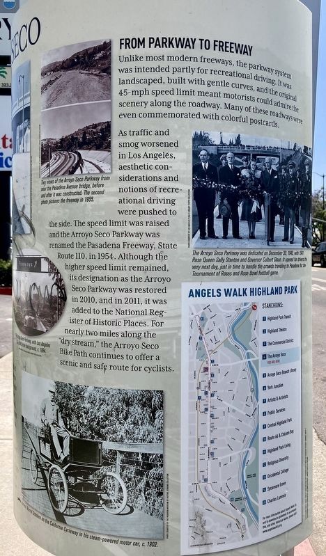
Unlike most modern freeways, the parkway system was intended partly for recreational driving. It was landscaped, built with gentle curves, and the original 45-mph speed limit meant motorists could admire the scenery along the roadway. Many of these roadways were even commemorated with colorful postcards.
As traffic and smog worsened in Los Angeles, aesthetic considerations and notions of recreational driving were pushed to the side. The speed limit was raised and the Arroyo Seco Parkway was renamed the Pasadena Freeway, State Route 110, in 1954. Although the higher speed limit remained, its designation as the Arroyo Seco Parkway was restored in 2010, and in 2011, it was added to the National Register of Historic Places. For nearly two miles along the "dry stream," the Arroyo Seco Bike Path continues to offer a scenic and safe route for cyclists.
Erected 2017 by City of Los Angeles.
Topics. This historical marker is listed in these topic lists: Industry & Commerce • Native Americans • Parks & Recreational Areas • Settlements & Settlers. A significant historical year for this entry is 1770.
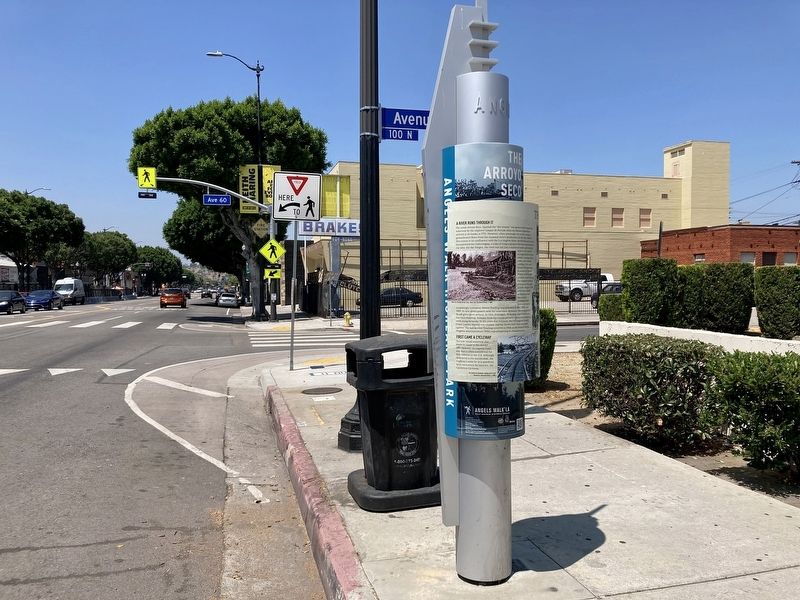
Location. 34° 6.676′ N, 118° 11.382′ W. Marker is in Los Angeles, California, in Los Angeles County. It is in Highland Park. Marker is on Figueroa Street near Avenue 60, on the right when traveling south. Touch for map. Marker is at or near this postal address: 6001 N Figueroa St, Los Angeles CA 90042, United States of America. Touch for directions.
Other nearby markers. At least 8 other markers are within walking distance of this marker. Public Services (within shouting distance of this marker); Artists & Activists (about 300 feet away, measured in a direct line); G.W.E. Griffith House (about 500 feet away); Drake House (about 700 feet away); The Commercial District (approx. 0.2 miles away); Distribution Station No. 2 (approx. 0.2 miles away); Central Highland Park (approx. 0.2 miles away); Highland Park Transit (approx. 0.2 miles away). Touch for a list and map of all markers in Los Angeles.
Regarding The Arroyo Seco. The Arroyo Seco Parkway Historic District was added to the National Register of Historic Places on February 17, 2011.
Also see . . . Angels Walk L.A. Self-guided walking tours of historic neighborhoods in Los Angeles. The Arroyo Seco marker is part of the Highland Park walk. (Submitted on July 20, 2023.)
Credits. This page was last revised on March 29, 2024. It was originally submitted on July 20, 2023, by Craig Baker of Sylmar, California. This page has been viewed 115 times since then and 50 times this year. Photos: 1, 2, 3, 4, 5. submitted on July 20, 2023, by Craig Baker of Sylmar, California. 6. submitted on March 29, 2024, by Craig Baker of Sylmar, California. 7. submitted on July 20, 2023, by Craig Baker of Sylmar, California.
