Albion Falls in Hamilton, Ontario — Central Canada (North America)
Native Trail Networks
Réseaux de Sentiers Auatochtones
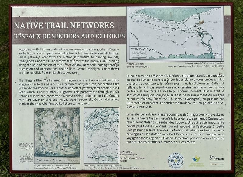
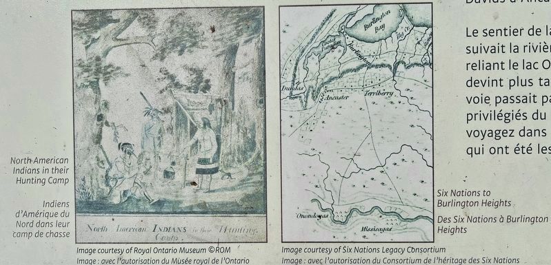
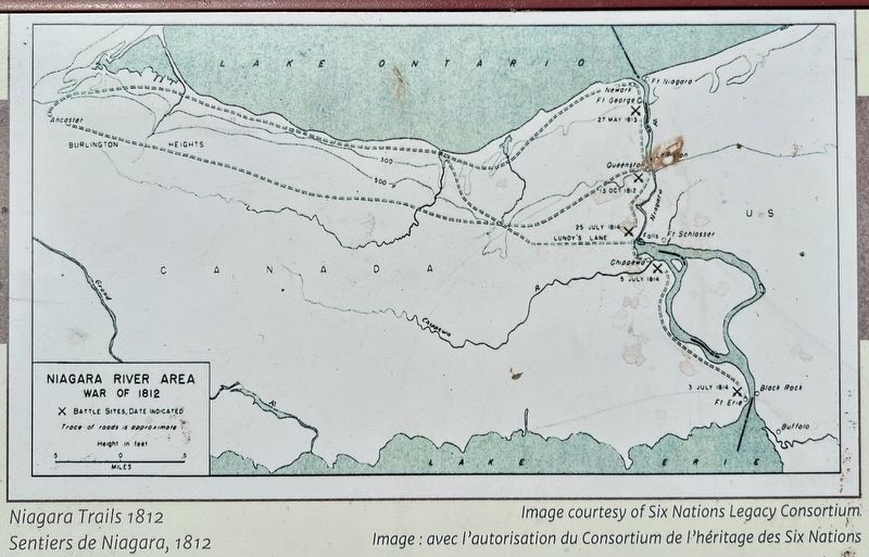
The Niagara River Trail started in Niagara-on-the-Lake and followed the Niagara River to the base of the escarpment at Queenston, connecting Lake Ontario to the Iroquois Trail. Another important pathway later became Plank Road, which is now Number 6 Highway. This pathway ran through the Six Nations reserve and connected favoured fishing locations on Lake Ontario with Port Dover on Lake Erie. As you travel around the Golden Horseshoe, think of the ones who first walked these same routes.
Selon la tradition orale des Six Nations, plusieurs grands axes routiers du sud de l'Ontario sont situés sur les anciennes voies créées par les chasseurs autochtones, les commerçants et les diplomates. Celles-ci reliaient les villages autochtones aux terrains de chasse, aux postes de traite et aux forts. La voie la plus communément utilisée était le sentier des Iroquois, qui longe la base de l'escarpement du Niagara et qui va d'Albany (New York) à Detroit (Michigan), en passant par Queenston et Ancaster. Le sentier Mohawk courait en parallèle de St. Davids à Ancaster.
Le sentier de la rivière Niagara commençait à Niagara-on-the-Lake et suivait la rivière Niagara jusqu'à la base de l'escarpement à Queenston, reliant le lac Ontario au sentier des Iroquois. Une autre voie importante devint plus tard la rue Plank, qui est aujourd'hui l'autoroute 6. Cette voie passait par la réserve des Six Nations et reliait des lieux de pêche privilégiés du lac Ontario avec Port Dover sur le lac Érié. Lorsque vous voyagez dans la région du Golden Horseshoe, pensez à ceux et à celles qui ont été les premiers à marcher sur ces routes.
Erected by Six Nations of the Grand River/ Government of Ontario.
Topics. This historical marker is listed in these topic lists: Native Americans • Roads & Vehicles.
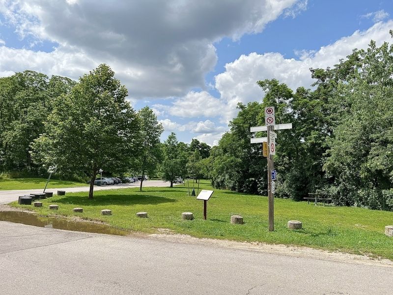
Location. 43° 11.985′ N, 79° 49.242′ W. Marker is in Hamilton, Ontario. It is in Albion Falls. Marker is on Mountain Brow Boulevard, 0.3 kilometers south of Limeridge Road East, on the right when traveling south. The marker is at the entrance to the Albion Falls parking lot (Arbour Road) off of Mountain Brow Boulevard. Touch for map. Marker is in this post office area: Hamilton ON L8W 3X9, Canada. Touch for directions.
Other nearby markers. At least 8 other markers are within 5 kilometers of this marker, measured as the crow flies. Albion Mills (about 210 meters away, measured in a direct line); Albion Falls (about 240 meters away); Joseph Dalton Armes Lookout Point (approx. 1.8 kilometers away); “Bobby” Kerr 1882-1963 (approx. 2.6 kilometers away); The Right Honourable Vincent Massey (approx. 3.4 kilometers away); John William Kerr (approx. 4.1 kilometers away); Peace Memorial School/ Peace Memorial Park (approx. 4.2 kilometers away); Billy Green Monument (approx. 4.7 kilometers away). Touch for a list and map of all markers in Hamilton.
Also see . . . Pathways: Following traces of Indigenous routes across Ontario.
The original inhabitants of Turtle Island (North America), have vibrant and rich histories. Before the arrival of Europeans, Indigenous societies were connected by an intricate network of relationships that include land and water routes. Over the past 400 years, these pathways and relationships have been disrupted by colonial policies(Submitted on July 20, 2023, by Tim Boyd of Hamilton, Ontario.)
Credits. This page was last revised on July 20, 2023. It was originally submitted on July 20, 2023, by Tim Boyd of Hamilton, Ontario. This page has been viewed 117 times since then and 54 times this year. Photos: 1, 2, 3, 4. submitted on July 20, 2023, by Tim Boyd of Hamilton, Ontario. • Andrew Ruppenstein was the editor who published this page.


