Chelsea in Washtenaw County, Michigan — The American Midwest (Great Lakes)
Letts Creek
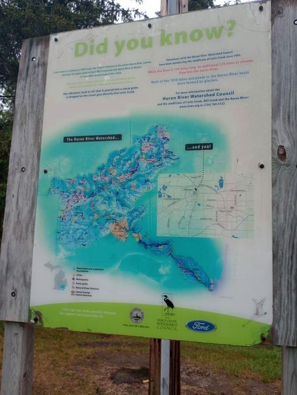
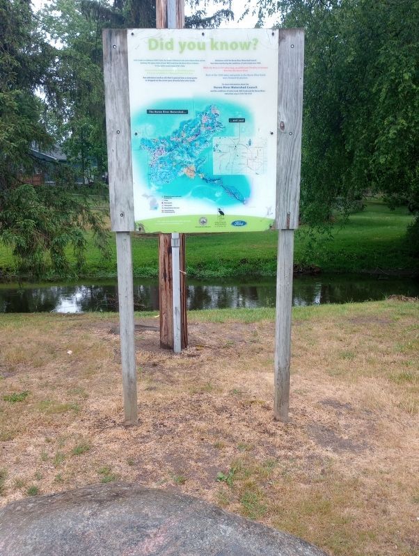
Did you know?
Letts Creek is a tributary of Mill Creek, the largest tributary in the entire Huron River system, draining 144 square miles of land. Mill Creek joins the Haron River in Dexter, 13 river miles downstream of Vets Park.
Chelsea relies on municipal wells for its drinking water, which are protected in a Wellhead Protection Zone.
Any substance (such as oil) that is poured into a storm grate or dropped on the street goes directly into Letts Creek.
Volunteers with the Huron River Watershed Council have been monitoring the conditions of Letts Creek since 1993.
While the River is 129 miles long, an additional 370 miles of streams flow into the Huron River.
Most of the 1050 lakes and ponds in the Huron River basin were formed by glaciers.
Topics. This historical marker is listed in these topic lists: Environment • Waterways & Vessels. A significant historical year for this entry is 1993.
Location. 42° 19.408′ N, 84° 1.296′ W. Marker is in Chelsea, Michigan, in Washtenaw County. Marker is on Sibley Road, on the right when traveling east. Touch for map. Marker is at or near this postal address: 5825 Sibley Rd, Chelsea MI 48118, United States of America. Touch for directions.
Other nearby markers. At least 8 other markers are within walking distance of this marker. Veterans Memorial Park (within shouting distance of this marker); The Welfare Building (approx. 0.3 miles away); Chelsea / Chelsea Depot (approx. 0.3 miles away); The Livery Lot (approx. 0.3 miles away); History of the Holmes' Cutter (approx. 0.3 miles away); Notable 19th & 20th Century Downtown Chelsea Fires (approx. 0.3 miles away); Landmark Site of the Former B&B Glazier Stove Co. Offices (approx. 0.3 miles away); First Congregational Church (approx. 0.4 miles away). Touch for a list and map of all markers in Chelsea.
Credits. This page was last revised on August 19, 2023. It was originally submitted on July 20, 2023, by Craig Doda of Napoleon, Ohio. This page has been viewed 68 times since then and 24 times this year. Photos: 1, 2. submitted on July 20, 2023, by Craig Doda of Napoleon, Ohio. • J. Makali Bruton was the editor who published this page.

