Blowing Rock in Watauga County, North Carolina — The American South (South Atlantic)
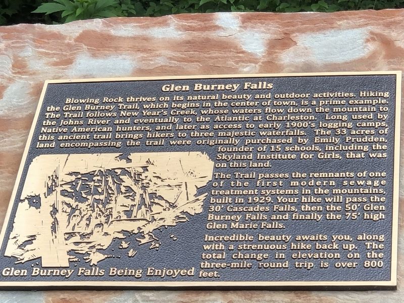
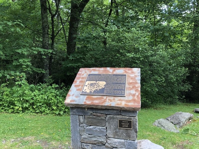
Glen Burney Falls
— Blowing Rock History Walk —
The Trail passes the remnants of one of the first modern sewage treatment systems in the mountains, built in 1929. Your hike will pass the 30' Cascades Falls, then the 50' Glen Burney Falls and finally the 75' high Glen Marie Falls.
Incredible beauty awaits you, along with a strenuous hike back up. The total change in elevation on the three-mile round trip is over 800 feet.
Caption: Glen Burney Falls being enjoyed
Erected by Blowing Rock Historical Society • Blowing Rock Village Foundation • Town of Blowing Rock.
Topics. This historical marker is listed in these topic lists: Education • Roads & Vehicles • Waterways & Vessels. A significant historical year for this entry is 1929.
Location. 36° 7.97′ N, 81° 40.809′ W. Marker is in Blowing Rock, North Carolina, in Watauga County. Marker is on Laurel Lane east of Wonderland Trail, on the right when traveling east. Touch for map. Marker is at or near this postal address: 243 Laurel Ln, Blowing Rock NC 28605, United States of America. Touch for directions.
Other nearby markers. At least 8 other markers are within walking distance of this marker. From Mountain Village to Resort (a few steps from this marker); Watauga Hotel and Memorial Park (within shouting distance of this marker); Mayview Lake (within shouting distance of this marker); Lenoir-Blowing Rock Turnpike (within shouting distance of this marker); A Wet or Dry Town (within shouting distance of this marker); Mayview Park (about 300 feet away, measured in a direct line); American Legion Building (about 300 feet away); Green Park (about 300 feet away). Touch for a list and map of all markers in Blowing Rock.
Also see . . . Glen Burney Trail | Three Waterfalls | Pisgah National Forest | Blowing Rock, North Carolina. Video of the trail and its waterfalls. (Cris&Cale, uploaded June 20, 2022) (Submitted on July 23, 2023, by Duane and Tracy Marsteller of Murfreesboro, Tennessee.)
Credits. This page was last revised on July 24, 2023. It was originally submitted on July 22, 2023, by Duane and Tracy Marsteller of Murfreesboro, Tennessee. This page has been viewed 76 times since then and 30 times this year. Photos: 1, 2. submitted on July 22, 2023, by Duane and Tracy Marsteller of Murfreesboro, Tennessee.

