Valle Mines in Jefferson County, Missouri — The American Midwest (Upper Plains)
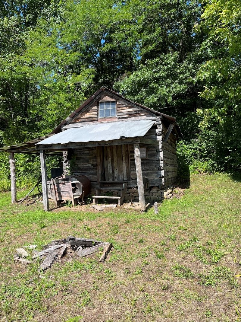
Slave Cabin
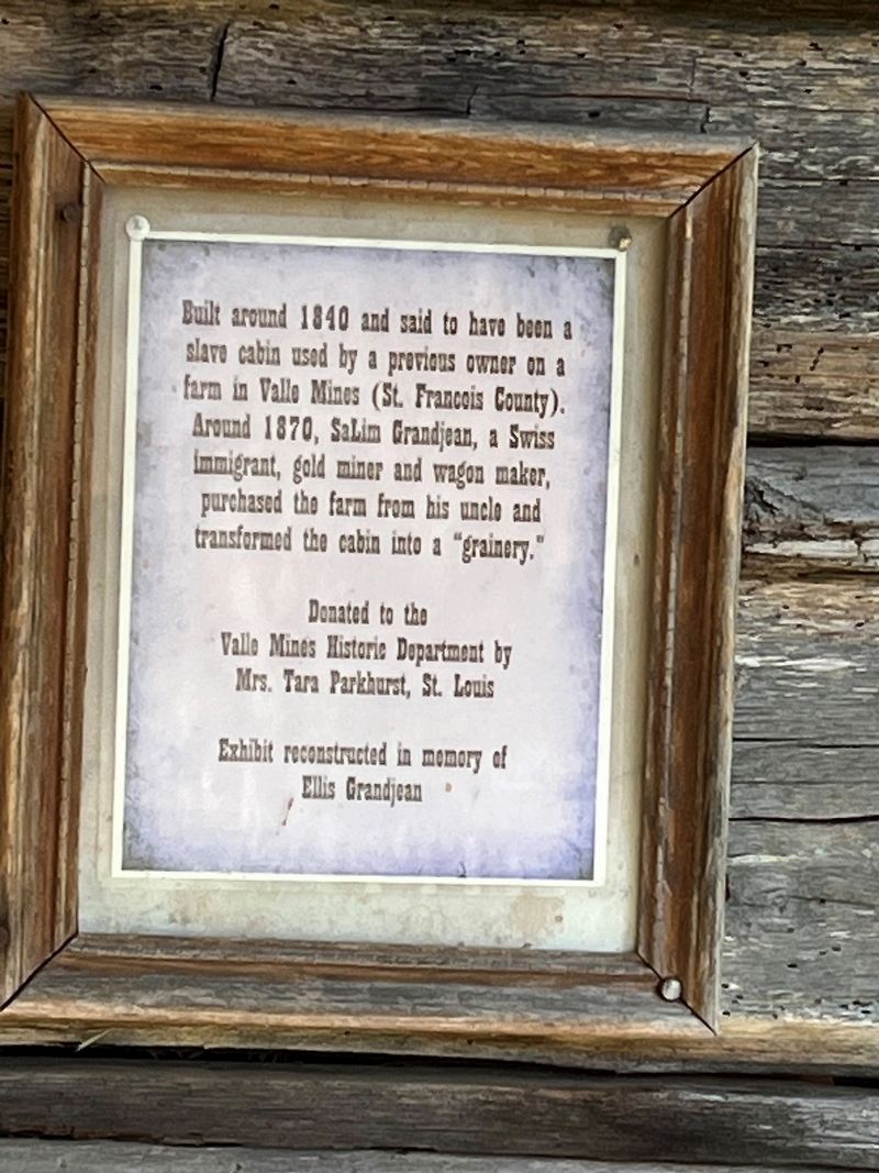
Built around 1840 and said to have been a slave cabin used by a previous owner on a farm in Valle Mines (St. Francois County). Around 1870, Salim Grandjean, a Swiss immigrant, gold miner and wagon maker, purchased the farm from his uncle and transformed the cabin into a "grainery".
Exhibit reconstructed in memory of Ellis Grandjean
Erected by Valle Mines Historic Department.
Topics. This historical marker is listed in these topic lists: African Americans • Agriculture • Immigration • Settlements & Settlers. A significant historical year for this entry is 1840.
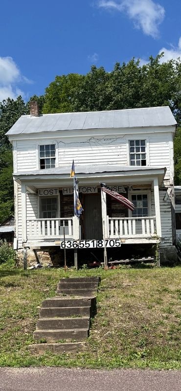
Location. 38° 1.926′ N, 90° 29.753′ W. Marker is in Valle Mines, Missouri, in Jefferson County. Marker is on Valles Mines School Road, 0.6 miles south of State Highway V, on the right when traveling north. The marker is on the grounds of the Lost History Museum of Valles Mines. Touch for map. Marker is at or near this postal address: 14115 Valles Mines School Road, Valle Mines MO 63987, United States of America. Touch for directions.
Other nearby markers. At least 8 other markers are within 11 miles of this marker, measured as the crow flies. Artesian Spring / Valles Mines (here, next to this marker); In Memory of Aime Amant Vaille (within shouting distance of this marker); Dedicated to all our Veterans (approx. 7.1 miles away); Petit Canada (French Village) (approx. 7.1 miles away); These Gave All (approx. 8.1 miles away); Veterans Memorial (approx. 8.3 miles away); Petroglyphs (approx. 10.7 miles away); Rock Carvings (approx. 10.7 miles away).
Credits. This page was last revised on July 28, 2023. It was originally submitted on July 24, 2023, by Thomas Smith of Waterloo, Ill. This page has been viewed 70 times since then and 25 times this year. Photos: 1, 2, 3, 4. submitted on July 24, 2023, by Thomas Smith of Waterloo, Ill. • Devry Becker Jones was the editor who published this page.


