Lake Tahoe Nevada State Park near Carson City in Douglas County, Nevada — The American Mountains (Southwest)
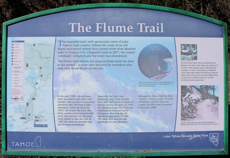
The Flume Trail
The Flume Trail follows the original flume from the dam to the tunnel - a route once traveled by caretakers who rode atop flume boxes on bicycles.
In the early 1980s, the old flume route was choked with fallen trees, boulders, and sections of abandoned aluminum pipe (left from a failed attempt to reopen the tunnel in 1963). But despite the mess, Max Jones, a professional mountain bike racer, saw potential. For two years, Jones worked to clear the trail. By 1987, the route was passable and use increased dramatically.
Spurred by the trail's new popularity, Lake Tahoe Nevada State Park staff joined volunteers in further clearing the route. In 1993, the abandoned pipe was flown out voluntarily by National Guard helicopters. Recycling the old aluminum pipe netted $7,000. The funds were used for trail improvements and education.
Although the Flume Trail has been "tamed," it has lost none of its fun, exhilaration, and the awesome scenery that Max Jones uncovered in the early 1980s.
Erected by Nevada State Parks.
Topics. This historical marker is listed in these topic lists: Bridges & Viaducts • Parks & Recreational Areas • Roads & Vehicles • Sports. A significant historical year for this entry is 1877.
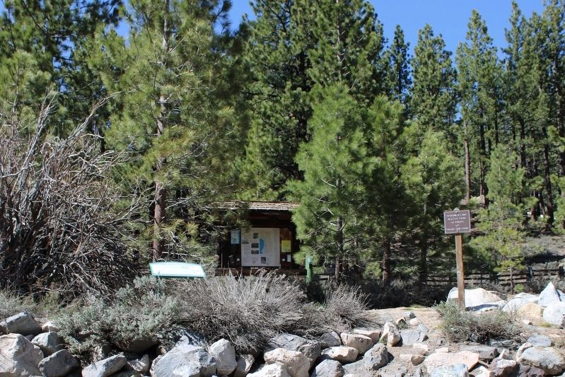
Location. 39° 6.271′ N, 119° 53.82′ W. Marker is near Carson City, Nevada, in Douglas County. It is in Lake Tahoe Nevada State Park. Marker is on Lincoln Highway (U.S. 50 at milepost 13) west of Kings Canyon Road, on the right when traveling west. The resin marker is mounted to a metal stand at the Spooner Summit parking lot. Touch for map. Marker is in this post office area: Carson City NV 89703, United States of America. Touch for directions.
Other nearby markers. At least 8 other markers are within walking distance of this marker. Tahoe Rim Trail (a few steps from this marker); Marlette Lake Trail (a few steps from this marker); Hiking the Tahoe Rim Dream (within shouting distance of this marker); Johnson Cutoff – Spooner Summit (within shouting distance of this marker); Spooner Summit (about 400 feet away, measured in a direct line); Riding the Flume (about 600 feet away); Life at the Summit (about 600 feet away); Tomb of the Sierras (about 600 feet away). Touch for a list and map of all markers in Carson City.
More about this marker. Inset Image:
Army National Guard partnered with Nevada State Parks to remove the aluminum pip – a farewell flight for a famous Sikorsky helicopter. Photo courtesy of Nevada State Parks.
Also see . . .
1. Tahoe Flume Trail History. Travel Nevada
"Engineers built a diversion dam and constructed a combination of box flume and pressure pipeline to channel water 2,000 ft. down to Washoe Valley. In 1887, more pipelines and flumes were built to tap into Hobart Creek and Marlette Lake, increasing the available water volume to 6.6 million gallons per day."(Submitted on July 26, 2023, by Joseph Alvarado of Livermore, California.)
2. The Flume Trail. Atlas Obscura
"Under the direction of Hermann Schussler, teams of men and mules completed the system in 1873. A wooden flume carried the water to a 4,000-foot tunnel, then down through the Washoe Valley and up again to Virginia City."(Submitted on July 26, 2023, by Joseph Alvarado of Livermore, California.)
Credits. This page was last revised on July 26, 2023. It was originally submitted on July 26, 2023, by Joseph Alvarado of Livermore, California. This page has been viewed 164 times since then and 45 times this year. Photos: 1, 2. submitted on July 26, 2023, by Joseph Alvarado of Livermore, California.

