Lake Tahoe Nevada State Park near Carson City in Douglas County, Nevada — The American Mountains (Southwest)
Marlette Lake Trail
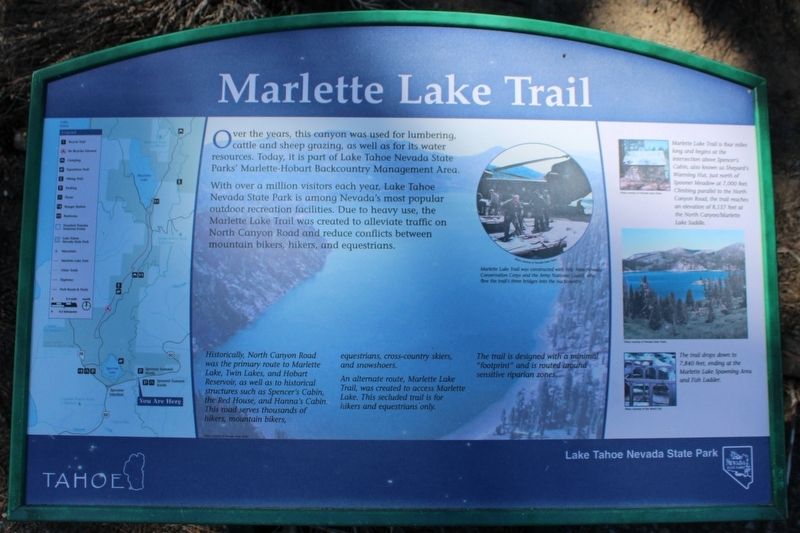
Over the years, this canyon was used for lumbering, cattle and sheep grazing, as well as for its water resources. Today, it is part of Lake Tahoe Nevada State Parks’ Marlette-Hobart Backcountry Management Area.
With over a million visitors each year, Lake Tahoe Nevada State Park is among Nevada’s most popular outdoor recreation facilities. Due to heavy use, the Marlette Lake Trail was created to alleviate traffic on North Canyon Road and reduce conflicts between mountain bikers, hikers, and equestrians.
Historically, North Canyon Road was the primary route to Marlette Lake, Twin Lakes, and Hobart Reservoir, as well as to historical structures such as Spencer’s Cabin, the Red House, and Hanna’s Cabin. This road serves thousands of hikers, mountain bikers, equestrians, cross-country skiers, and snowshoers.
An alternate route, Marlette Lake Trail, was created to access Marlette Lake. This secluded trail is for hikers and equestrians only.
The trail is designed with a minimal “footprint” and is routed around sensitive riparian zones.
Marlette Lake Trail is four miles long and begins at the intersection above Spencer’s Cabin, also known as Shepard’s Warming Hut, just north of Spooner Meadow at 7,000 feet. Climbing parallel to the North Canyon Road, the trail reaches an elevation of 8,157 feet at the North Canyon/Marlette Lake Saddle.
The trail drops down to 7,840 feet, ending at the Marlette Lake Spawning Area and Fish Ladder.
Erected by Nevada State Parks.
Topics. This historical marker is listed in these topic lists: Parks & Recreational Areas • Roads & Vehicles.
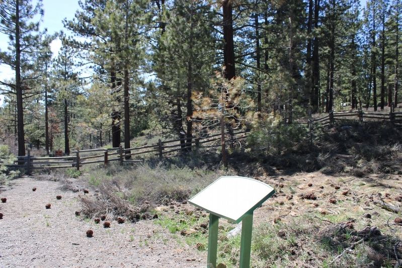
Location. 39° 6.269′ N, 119° 53.831′ W. Marker is near Carson City, Nevada, in Douglas County. It is in Lake Tahoe Nevada State Park. Marker is on Lincoln Highway (U.S. 50 at milepost 13) west of Kings Canyon Road, on the right when traveling west. The resin marker is mounted to metal stand at the Spooner Summit parking lot. Touch for map. Marker is in this post office area: Carson City NV 89703, United States of America. Touch for directions.
Other nearby markers. At least 8 other markers are within walking distance of this marker. The Flume Trail (a few steps from this marker); Hiking the Tahoe Rim Dream (a few steps from this marker); Tahoe Rim Trail (a few steps from this marker); Johnson Cutoff – Spooner Summit (within shouting distance of this marker); Spooner Summit (about 400 feet away, measured in a direct line); Riding the Flume (about 600 feet away); Life at the Summit (about 600 feet away); Tomb of the Sierras (about 700 feet away). Touch for a list and map of all markers in Carson City.
More about this marker. Inset Image:
Marlette Lake Trail was constructed with help from Nevada Conservation Corps and the Army National Guard, who flew the trail’s three bridges into the backcountry. Photo courtesy of Nevada State Parks.
Also see . . . Marlette Lake. Nevada Department of Wildlife website entry:
"Marlette Lake was constructed in 1873 when a small earthen dam was erected at the outlet of a broad glaciated-basin that naturally drained into Lake Tahoe. In 1959, the dam was raised reaching its present height of 45 feet."(Submitted on July 26, 2023, by Joseph Alvarado of Livermore, California.)
Credits. This page was last revised on July 30, 2023. It was originally submitted on July 26, 2023, by Joseph Alvarado of Livermore, California. This page has been viewed 69 times since then and 15 times this year. Photos: 1, 2. submitted on July 26, 2023, by Joseph Alvarado of Livermore, California.

