Redland in Montgomery County, Maryland — The American Northeast (Mid-Atlantic)
Agricultural Crops and Labor
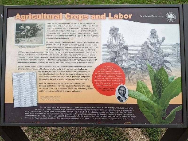
When the Magruders operated this farm in the 18th century, the crops were alternated yearly between tobacco and corn. This was called the "Maryland plan." Planters relied on enslaved laborers to do the back-breaking work that began in winter and continued into the fall when tobacco was harvested and cured to ship to European markets. These crops also robbed the soil of the very nutrients that make farms productive.
By 1846, the Montgomery County Agricultural Society recognized and promoted the use of fertilizers, particularly guano (or bat and seabird manure). Rejuvenated soil yielded a greater variety of crops, including wheat. Otho Magruder, who owned this farm between 1849 and 1856 and was a founding member of the Society, decided to make the transition to wheat on his 387 acres. Perhaps as a reflection of how fruitful his farm became, Otho called his property "Waveland." To ensure a continual good crop of wheat, select grain was stored in a granary, where it would be seeded through the use of a hand-cranked fanning mill. The 1850 Slave Census documents that Otho Magruder enslaved 27 individuals on this farm, including men, women, and children ranging in age a month old to 64 years.
Maryland ended slavery in 1864, freeing African Americans who labored under bondage on this former plantation. The work of the farm was taken up by tenant farmers, including Samuel Finneyfrock who lived in a frame "tenant house" that stood on the west side of the bank barn. Tenant farming was a lease agreement where a farmer rented a portion of land to grow crops and paid for this use either by cash or by sharing his crops ("sharecropping").
Much like other local farmers at the turn of the century, the Bussard family focused on the production of general farm crops for sale and home use, small-scale dairy farming, the feeding of beef cattle, hog raising, market gardening and fruit growing.
"At an early period in the history of Maryland, her lands began to be exhausted by the bad cultivation peculiar to slave states; and hence she soon commenced the business of breeding slaves for the more southern states. This has given an enormity to slavery, in Maryland…" James Pennington (1849) Eastern Shore, MD
"ALL the slaves, both men and women, except those about the house, were forced to work in the field. We raised corn, wheat and tobacco… When the tobacco is ripe, or nearly so, there are frequently worms in it, about two inches long, and as large as one's thumb. They have horns, and are called tobacco worms. They are very destructive to the tobacco crops, and must be carefully picked off by the hands, so as not to break the leaves, which are very easily broken. But careful as the slaves may be, they cannot well avoid leaving some of these worms on the plants. It was a custom of [overseer] Mr. Wagar to follow after the slaves, to see if he could find any left, and if so, to compel the person in whose row they were found, to eat them. This was done to render them more careful." - John Thompson, (1856) Prince George's County, MD
[Captions:]
Chores on the Bussard Farm included milking the cows twice a day.
When the Census enumerated Otho Magruder had 27 enslaved laborers in 1850, the county average was 5 slaves owned per slaveholder. (Courtesy: National Archives and Records Administration).
Erected by Montgomery Parks.
Topics. This historical marker is listed in these topic lists: African Americans • Agriculture • Parks & Recreational Areas. A significant historical year for this entry is 1846.
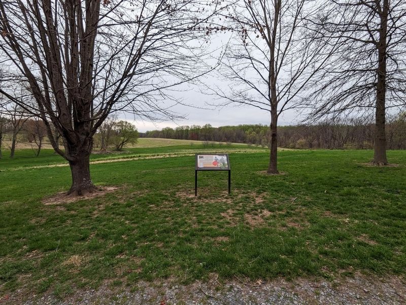
Location. 39° 9.883′ N, 77° 7.836′ W. Marker is in Redland, Maryland, in Montgomery County. Marker can be reached from Rock Creek Park Road, 0.3 miles north of Muncaster Road, on the right when traveling north. Touch for map. Marker is at or near this postal address: 18400 Muncaster Rd, Derwood MD 20855, United States of America. Touch for directions.
Other nearby markers. At least 8 other markers are within walking distance of this marker. Hay Barracks (within shouting distance of this marker); Woodshed (within shouting distance of this marker); Corn Crib (within shouting distance of this marker); Mike Roth (within shouting distance of this marker); Chicken Coop (within shouting distance of this marker); Water Tank House (within shouting distance of this marker); Broody House (about 300 feet away, measured in a direct line); Farming and Labor in Montgomery County (about 300 feet away). Touch for a list and map of all markers in Redland.
Additional keywords. enslaved labor
Credits. This page was last revised on October 2, 2023. It was originally submitted on August 1, 2023, by Sean C Bath of Silver Spring, Maryland. This page has been viewed 40 times since then and 9 times this year. Photos: 1. submitted on August 1, 2023, by Sean C Bath of Silver Spring, Maryland. 2. submitted on September 28, 2023, by Sean C Bath of Silver Spring, Maryland. • Devry Becker Jones was the editor who published this page.

