Monmouth in Warren County, Illinois — The American Midwest (Great Lakes)
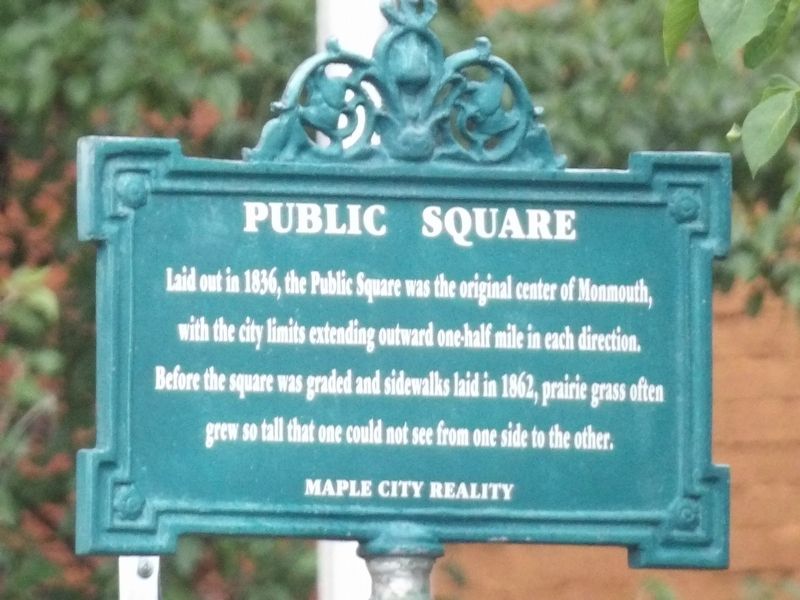
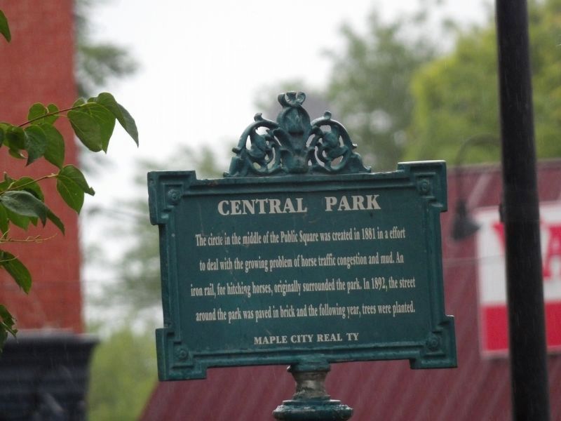
Public Square / Central Park
Central Park The circle in the middle of the Public Square was created in 1881 in a effort to deal with the growing problem of horse traffic congestion and mud. An iron rail, for hitching horses, originally surrounded the park. In 1892, the street around the park was paved in brick and the following year, trees were planted.
Topics. This historical marker is listed in these topic lists: Parks & Recreational Areas • Roads & Vehicles. A significant historical year for this entry is 1881.
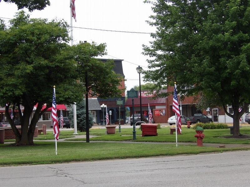
Location. 40° 54.716′ N, 90° 38.895′ W. Marker is in Monmouth, Illinois, in Warren County. Marker is at the intersection of Main Street and Broadway on Main Street. Marker is within the traffic circle. Touch for map. Marker is in this post office area: Monmouth IL 61462, United States of America. Touch for directions.
Other nearby markers. At least 7 other markers are within 2 miles of this marker, measured as the crow flies. Monmouth Rotary Club (a few steps from this marker); Stephen A. Douglas in Monmouth (within shouting distance of this marker); Joseph Smith Trial / Soldier Monument (within shouting distance of this marker); Monmouth 1850-1930 (about 300 feet away, measured in a direct line); Founding of Pi Beta Phi Fraternity (approx. ¼ mile away); Wyatt Earp Birthplace (approx. 0.3 miles away); a different marker also named Wyatt Earp Birthplace (approx. 1½ miles away).
Credits. This page was last revised on August 2, 2023. It was originally submitted on August 2, 2023, by Duane and Tracy Marsteller of Murfreesboro, Tennessee. This page has been viewed 42 times since then and 11 times this year. Photos: 1, 2, 3. submitted on August 2, 2023, by Duane and Tracy Marsteller of Murfreesboro, Tennessee.


