Valatie in Columbia County, New York — The American Northeast (Mid-Atlantic)
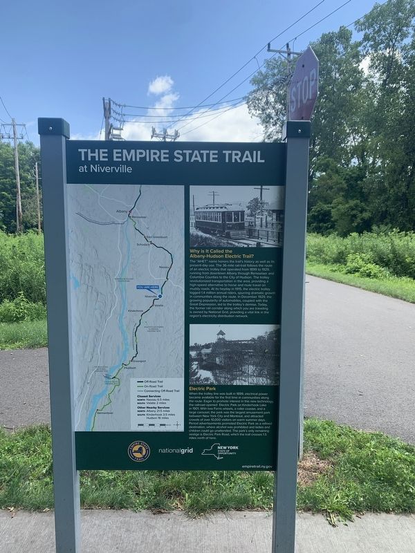
The Empire State Trail
at Niverville
Inscription.
Why is It Called the Albany-Hudson Electric Trail?
The "AHET" name honors the trail's history as well as its present-day use. The 36-mile rail-trail follows the route of an electric trolley that operated from 1899 to 1929, running from downtown Albany through Rensselaer and Columbia Counties to the City of Hudson. The trolley revolutionized transportation in the area, providing a high-speed alternative to horse and mule travel on muddy roads. At its heyday in 1915, the electric trolley logged 1.4 million annual riders, spurring dramatic growth in communities along the route. In December 1929, the growing popularity of automobiles, coupled with the Great Depression, led to the trolley's demise. Today, the former rail corridor along which you are traveling is owned by National Grid, providing a vital link in the region's electricity distribution network.
Electric Park
When the trolley line was built in 1899, electrical power became available for the first time in communities along the route. Eager to promote interest in this new technology, the railroad opened Electric Park on Kinderhook Lake in 1901. With two Ferris wheels, a roller coaster, and a large carousel, the park was the largest amusement park between New York City and Montreal, and attracted crowds of over 10,000 visitors on warm summer days. Period advertisements promoted Electric Park as a refined destination, where alcohol was prohibited and ladies and children could go unattended. The park's only remaining vestige is Electric Park Road, which the trail crosses 1.5 miles north of here.
(opposite side)
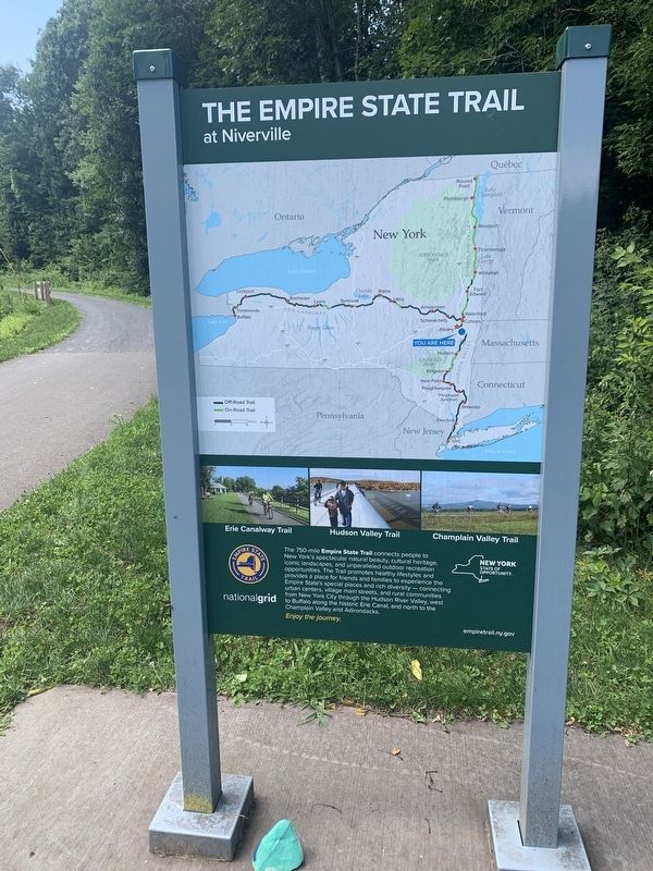
The 750-mi Empire State Trail connects people to New York's spectacular natural beauty, cultural heritage. iconic landscapes, and unparalleled outdoor recreation opportunities. The Trail promotes healthy lifestyles and provides a place for friends and families to experience the Empire State's special places and rich diversity - connecting urban centers, village main streets, and rural communities from New York City through the Hudson River Valley, west to Buffalo along the historic Erie Canal, and north to the Champlain Valley and Adirondacks
Enjoy the journey
empiretrail.ny.gov
Erected by Empire State Trail, National Grid.
Topics. This historical marker is listed in these topic lists: Parks & Recreational Areas • Railroads & Streetcars • Roads & Vehicles. A significant historical month for this entry is December 1929.
Location. 42° 25.972′ N, 73° 39.536′ W. Marker is in Valatie, New York, in Columbia County. Marker is on Albany-Hudson Electric Trail south of
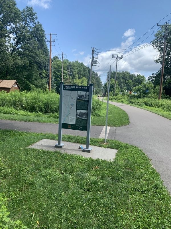
Main Street (County Route 28), on the right when traveling south. Marker is at the trailhead parking lot in Niverville. Touch for map. Marker is in this post office area: Valatie NY 12184, United States of America. Touch for directions.
Other nearby markers. At least 8 other markers are within 2 miles of this marker, measured as the crow flies. The Valatie Kill (approx. 0.8 miles away); Mohican Homelands (approx. 0.9 miles away); J. Miller House (approx. 1.2 miles away); G.W. Bulkley House (approx. 1.4 miles away); Electric Park (approx. 1˝ miles away); Valatie Santa Claus Club (approx. 1˝ miles away); Governor Martin H. Glynn Village Square (approx. 1˝ miles away); Valatie World War I Monument (approx. 1˝ miles away). Touch for a list and map of all markers in Valatie.
Also see . . . Empire Trail. NYS site providing information about the trail in general and about each section. (Submitted on August 2, 2023, by Steve Stoessel of Niskayuna, New York.)
Credits. This page was last revised on August 11, 2023. It was originally submitted on August 2, 2023, by Steve Stoessel of Niskayuna, New York. This page has been viewed 109 times since then and 55 times this year. Photos: 1, 2, 3. submitted on August 2, 2023, by Steve Stoessel of Niskayuna, New York. • Bill Pfingsten was the editor who published this page.


