Turman Township near Garysville in Sullivan County, Indiana — The American Midwest (Great Lakes)
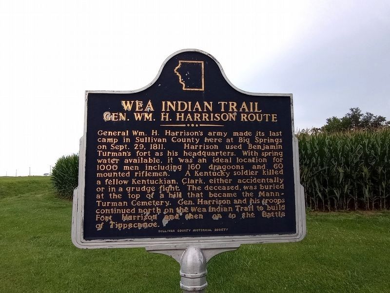
Wea Indian Trail
Gen. Wm. H. Harrison Route
Erected by Sullivan County Historical Society.
Topics and series. This historical marker is listed in these topic lists: Forts and Castles • Native Americans • Roads & Vehicles • War of 1812. In addition, it is included in the Indiana Historical Bureau Markers series list. A significant historical date for this entry is September 29, 1811.
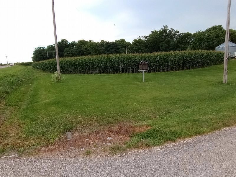
Location. 39° 6.978′ N, 87° 34.958′ W. Marker is near Garysville, Indiana, in Sullivan County. It is in Turman Township. Marker is on Indiana Route 154 west of County Road 900W, on the right when traveling east. Touch for map. Marker is at or near this postal address: 9481 Route 154, Merom IN 47861, United States of America. Touch for directions.
Other nearby markers. At least 8 other markers are within 8 miles of this marker, measured as the crow flies. Grave of Jane Todd Crawford (approx. 2.6 miles away); Merom Bluff Chautauqua, 1905-1936 (approx. 4.2 miles away); Merom Founded 1817 (approx. 4.2 miles away); Hutson Memorial (approx. 4.4 miles away in Illinois); Merom Conference Center (approx. 4˝ miles away); Fort Handy (approx. 7.7 miles away in Illinois); Fairbanks' Massacre (approx. 7.8 miles away); Fort Foot (approx. 7.9 miles away in Illinois).
Credits. This page was last revised on August 2, 2023. It was originally submitted on August 2, 2023, by Craig Doda of Napoleon, Ohio. This page has been viewed 102 times since then and 47 times this year. Photos: 1, 2. submitted on August 2, 2023, by Craig Doda of Napoleon, Ohio. • Devry Becker Jones was the editor who published this page.

