Knoxville in Knox County, Illinois — The American Midwest (Great Lakes)
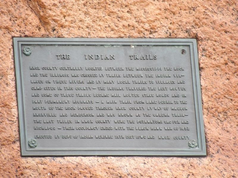
The Indian Trails
Knox County centrally located between the Mississippi the Rock and the Illinois was crossed by trails between the Indian villages on these rivers and by many local trails to villages and camp sites in this county – the Indians traveled the best routes and some of these trails became mail routes stage roads and in part permanent highways – A main trail from Lake Peoria to the mouth of the Rock passed through Knox County by way of Maquon Knoxville and Henderson and was known as the Galena trail – the last tribes in Knox County were the Potawatomi Sac Fox and Kickapoo – Their occupancy ended with the Black Hawk War of 1832.
Erected by Department of Indian Welfare • 15th District, IFWC • Knox County.
Topics. This historical marker is listed in these topic lists: Native Americans • Roads & Vehicles. A significant historical year for this entry is 1832.
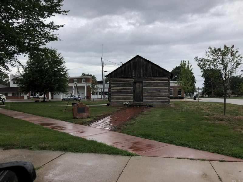
Location. 40° 54.491′ N, 90° 17.026′ W. Marker is in Knoxville, Illinois, in Knox County. Marker is at the intersection of East Main Street (U.S. 150) and East Public Square, on the right when traveling west on East Main Street. Touch for map. Marker is in this post office area: Knoxville IL 61448, United States of America. Touch for directions.
Other nearby markers. At least 8 other markers are within 5 miles of this marker, measured as the crow flies. John G. Sanburn (a few steps from this marker); Knoxville Honor Roll (within shouting distance of this marker); The “Old Courthouse” (within shouting distance of this marker); Old Court House (within shouting distance of this marker); Knox Township World War I Memorial (within shouting distance of this marker); Hall of Records (within shouting distance of this marker); Old Jail (about 400 feet away, measured in a direct line); 614 East South Street (approx. 4.7 miles away). Touch for a list and map of all markers in Knoxville.
Credits. This page was last revised on October 1, 2023. It was originally submitted on August 2, 2023, by Duane and Tracy Marsteller of Murfreesboro, Tennessee. This page has been viewed 84 times since then and 38 times this year. Photos: 1, 2. submitted on August 2, 2023, by Duane and Tracy Marsteller of Murfreesboro, Tennessee.

