Logan Township in Ellington in Reynolds County, Missouri — The American Midwest (Upper Plains)
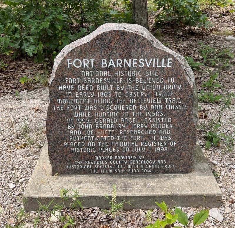
Fort Barnesville
National Historic Site
Photographed by Craig Swain, July 31, 2023
1. Fort Barnesville Marker
Marker provided by the Reynolds County Genealogy and Historical Society, Inc., with a grant from the Taum Sauk Fund.
Erected 2014.
Topics. This historical marker is listed in these topic lists: Forts and Castles • War, US Civil. A significant historical date for this entry is July 1, 1998.
Location. 37° 13.203′ N, 90° 59.216′ W. Marker is in Ellington, Missouri, in Reynolds County. It is in Logan Township. It can be reached from Deer Park Trail 1. Located in Deer Run State Forest. To reach the site, follow the signs on Deer Park Trail, onto an unmarked dirt road going north. Touch for map. Marker is at or near this postal address: 680 Deer Park Trail 1, Ellington MO 63638, United States of America. Touch for directions.

Regionally, this
this page online
Other nearby markers. At least one other marker is within 5 miles of this marker, measured as the crow flies: Reynolds County (approx. 4.8 miles away).
Also see . . . (PDF) Fort at Barnesville. PDF copy of the National Register documentation for the site. Note this fortification is actually classed as a redoubt (based on the trace of the work). The redoubt covered the road between Barnesville (now Ellington) and Van Buren, Missouri. It featured an elevated platform for artillery. Most likely the fort was built by the 13th Illinois Cavalry, a unit operating in the area in 1863 and which had built other fortifications in the area. (Submitted on August 6, 2023, by Craig Swain of Leesburg, Virginia.)
Photographed by Craig Swain, July 31, 2023
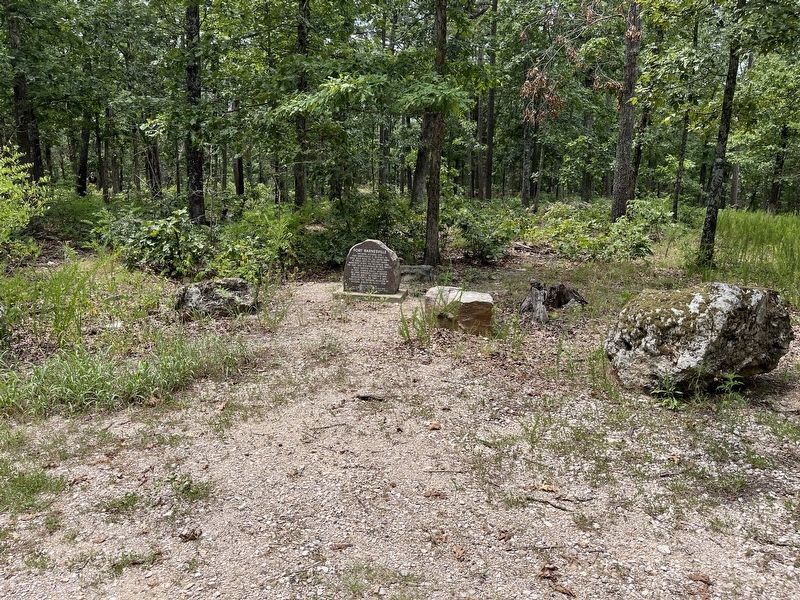
2. Fort Barnesville Marker
Photographed by Craig Swain, July 31, 2023
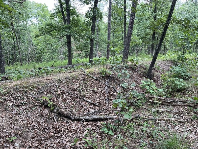
3. Portion of the wall of Fort Barnesville
Photographed by Craig Swain, July 31, 2023
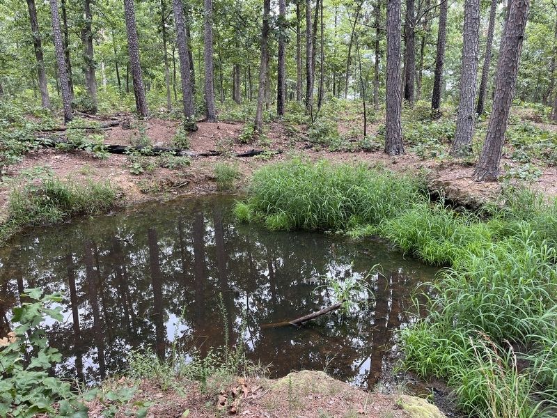
4. Magazine Remains
In the center of the works is a sunken pit filled with water. This may be a hole created when the redoubt's magazine.
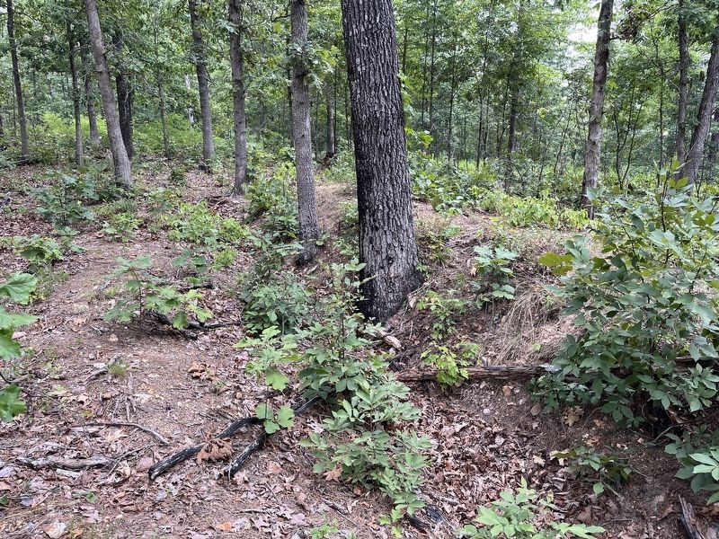
Photographed by Craig Swain, July 31, 2023
5. Parapet and wall of the Redoubt
Credits. This page was last revised on December 7, 2025. It was originally submitted on August 6, 2023, by Craig Swain of Leesburg, Virginia. This page has been viewed 803 times since then and 109 times this year. Photos: 1, 2, 3, 4, 5. submitted on August 6, 2023, by Craig Swain of Leesburg, Virginia.
