Switzerland in St. Johns County, Florida — The American South (South Atlantic)
Alpine Groves
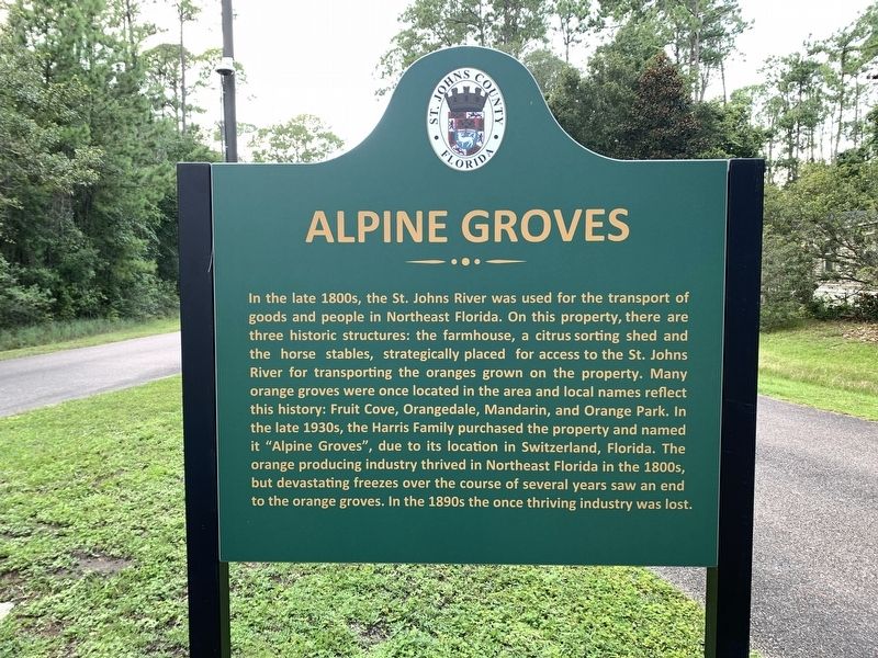
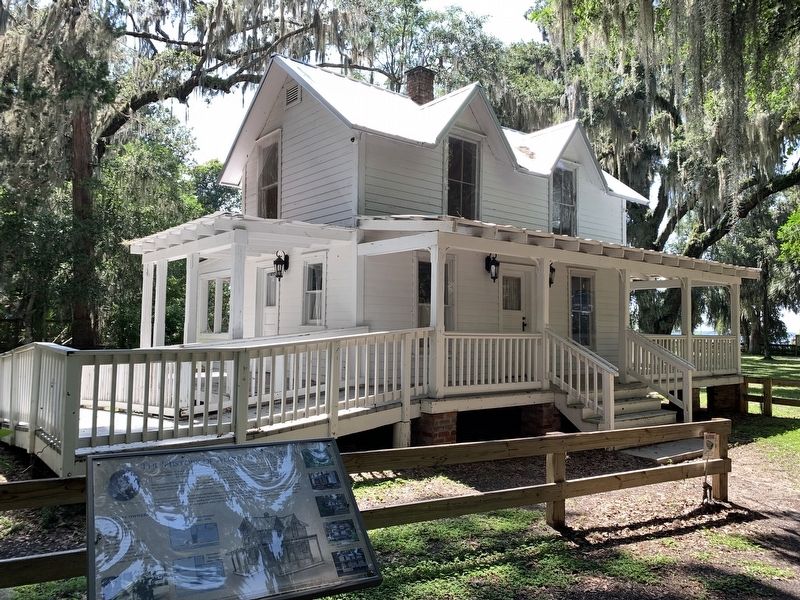
In the late 1800s, the St. Johns River was used for the transport of goods and people in Northeast Florida. On this property, there are three historic structures: the farmhouse, a citrus sorting shed and the horse stables, strategically placed for access to the St. Johns River for transporting the oranges grown on the property. Many orange groves were once located in the area and local names reflect the history: Fruit Cove, Orangedale, Mandarin, and Orange Park. In the late 1930s, the Harris Family purchased the property and named it "Alpine Groves", due to its location in Switzerland, Florida. The orange producing industry thrived in Northeast Florida in the 1800s, but devasting freezes over the course of several years saw an end to the orange groves. In the 1890s the once thriving industry was lost.
Erected by St. Johns County.
Topics. This historical marker is listed in these topic lists: Agriculture • Parks & Recreational Areas. A significant historical year for this entry is 1890.
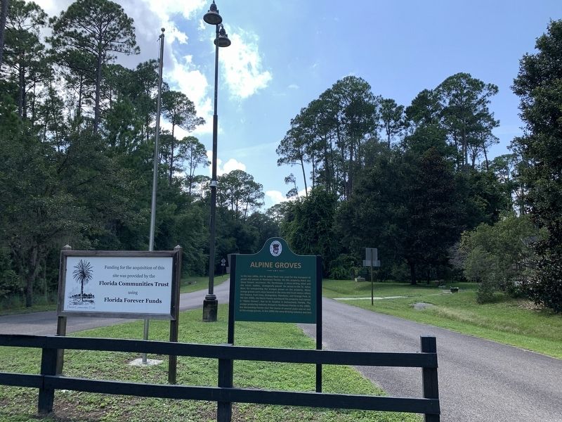
Location. 30° 4.567′ N, 81° 38.924′ W. Marker is in Switzerland, Florida, in St. Johns County. Marker can be reached from Florida Route 13 just south of Swiss Lane. Marker is at the entrance to Alpine Groves Park. Touch for map. Marker is at or near this postal address: 2060 FL 13, Saint Johns FL 32259, United States of America. Touch for directions.
Other nearby markers. At least 8 other markers are within 2 miles of this marker, measured as the crow flies. St. Johns County / New Switzerland Plantation (about 300 feet away, measured in a direct line); History of Alpine Groves Park (about 700 feet away); a different marker also named History of Alpine Groves Park (approx. 0.4 miles away); Welcome to Beluthahatchee Park (approx. 1.4 miles away); Beluthahatchee (approx. 1.4 miles away); a different marker also named Beluthahatchee (approx. 1.4 miles away); Stetson Kennedy (approx. 1.4 miles away); History of Beluthahatchee (approx. 1.4 miles away). Touch for a list and map of all markers in Switzerland.
Also see . . . Alpine Groves Park. St. John's County website entry (Submitted on August 6, 2023, by Tim Fillmon of Webster, Florida.)
Credits. This page was last revised on April 7, 2024. It was originally submitted on August 6, 2023, by Tim Fillmon of Webster, Florida. This page has been viewed 93 times since then and 42 times this year. Photos: 1, 2, 3. submitted on August 6, 2023, by Tim Fillmon of Webster, Florida.


