Ridgefield in Fairfield County, Connecticut — The American Northeast (New England)
The Governor's Estate and St. Stephen's Church
Ridgefield, Connecticut
— The Museum in the Streets® —

Photographed By Devry Becker Jones (CC0), August 4, 2023
1. The Governor's Estate and St. Stephen's Church Marker
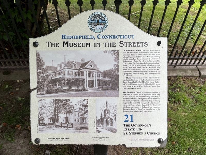
On these grounds in 1786 the Town Proprietors built the Independent School House from materials taken from the razed old town house that stood on the Village Green. In 1896 Governor Phineas Lounsbury built his estate, Grovelawn, on this site. It now serves as the Community Center. The bell on the front lawn of the Center, called The Confederate Bell, was captured during the Civil War by a Connecticut colonel. At the time it bore a painted inscription that read, "This bell is to be melted into a cannon — may it kill a thousand Yankees!" Presented to Governor Lounsbury it was rung at the signing of the armistice ending WWI, and again at the end of WWII.
Market Street was named for the meat market that stood behind the home of the Hurlbutt family on Main Street. Established by David Hurlbutt during the first half of the 19th century, poor David died in 1858 from a head wound he received from the horn of a struggling cow he was about to butcher.
The Episcopal Church, the American branch of the Church of England, had its beginnings here as early as 1725, with the first church building being erected around 1740. In 1768 Rev. Epenetus Townsend headed this church, as well as the one in Ridgebury, continuing his pastorship until 1776, when, as a loyal British subject, he was forced to leave Ridgefield. The church fell into disuse and was used by the Patriots as a warehouse. During the Battle of Ridgefield it was burned by the British troops advancing down Main Street.
Erected 2008 by The Museum in the Streets®. (Marker Number 21.)
Topics and series. This historical marker is listed in these topic lists: Churches & Religion • Colonial Era • Communications • Government & Politics • War, US Civil • War, US Revolutionary. In addition, it is included in the The Museum in the Streets®: Ridgefield, Connecticut series list. A significant historical year for this entry is 1786.
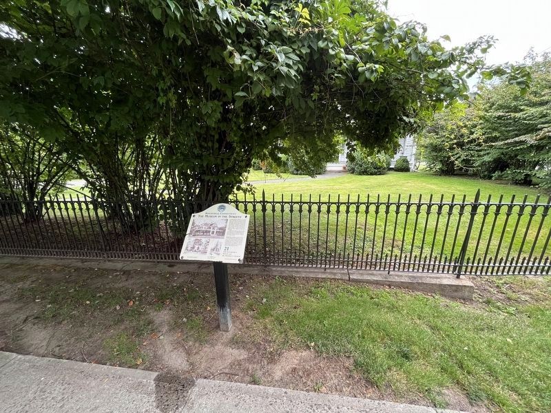
Location. 41° 16.717′ N, 73° 29.877′ W. Marker has been reported damaged. Marker is in Ridgefield, Connecticut, in Fairfield County. Marker is on Main Street (Connecticut Route 33/35) just north of Market Street, on the right when traveling north. Touch for map. Marker is at or near this postal address: 310 Main St, Ridgefield CT 06877, United States of America. Touch for directions.
Other nearby markers. At least 8 other markers are within walking distance of this location. Ridgefield Veterans Memorial (about 300 feet away, measured in a direct line); The Confederate Bell (about 400 feet away); The Lounsbury House (about 400 feet away); The Original Episcopal Church (about 600 feet away); The First Society of Ridgefield (about

Photographed By Devry Becker Jones (CC0), August 4, 2023
2. The Governor's Estate and St. Stephen's Church Marker
Credits. This page was last revised on March 27, 2024. It was originally submitted on August 7, 2023, by Devry Becker Jones of Washington, District of Columbia. This page has been viewed 70 times since then and 27 times this year. Photos: 1, 2. submitted on August 7, 2023, by Devry Becker Jones of Washington, District of Columbia.