Fruit Cove in St. Johns County, Florida — The American South (South Atlantic)
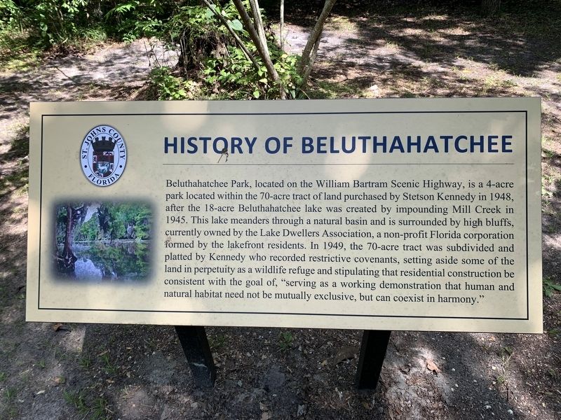
History of Beluthahatchee
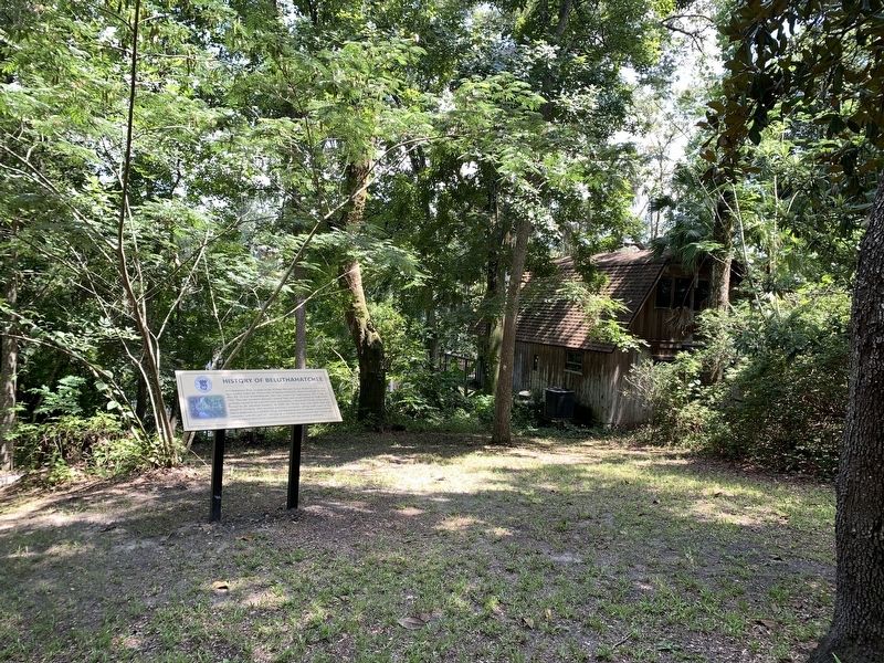
Beluthahatchee Park, located on the William Bartram Scenic Highway, is a 4-acre park located within the 70-acre tract of land purchased by Stetson Kennedy in 1948, after the 18-acre Beluthahatchee lake was created by impounding Mill Creek in 1945. The lake meanders through a natural basin and is surrounded by high bluffs, currently owned by the Lake Dwellers Association, a non-profit Florida corporation formed by the lakefront residents. In 1949, the 70-acre tract was subdivided and platted by Kennedy who recorded restrictive covenants, setting aside some of the land in perpetuity as a wildlife refuge and stipulating that residential construction be consistent with the goal of, "serving as a working demonstration that human and natural habitat need not be mutually exclusive, but can coexist in harmony."
Erected by St. Johns County.
Topics. This historical marker is listed in these topic lists: Parks & Recreational Areas • Waterways & Vessels. A significant historical year for this entry is 1948.
Location. 30° 5.284′ N, 81° 37.741′ W. Marker is in Fruit Cove, Florida, in St. Johns County. Marker can be reached from Florida Route 13, 0.1 miles south of Roberts Road. Marker is located in the parking area for the park. Touch for map. Marker is at or near this postal address: 1523 State Road 13, Saint Johns FL 32259, United States of America. Touch for directions.
Other nearby markers. At least 8 other markers are within 2 miles of this marker, measured as the crow flies. Woody Guthrie (here, next to this marker); Stetson Kennedy (a few steps from this marker); Beluthahatchee (within shouting distance of this marker); a different marker also named History of Beluthahatchee (within shouting distance of this marker); Welcome to Beluthahatchee Park (within shouting distance of this marker); a different marker also named Beluthahatchee (about 600 feet away, measured in a direct line); St. Johns County / New Switzerland Plantation (approx. 1.4 miles away); Alpine Groves (approx. 1.4 miles away). Touch for a list and map of all markers in Fruit Cove.
Also see . . .
1. Beluthahatchee Park. William Bartram Scenic and Historic Highway website entry (Submitted on February 14, 2024, by Larry Gertner of New York, New York.)
2. Beluthahatchee. Atlas Obscura website entry (Submitted on February 14, 2024, by Larry Gertner of New York, New York.)
Credits. This page was last revised on February 14, 2024. It was originally submitted on August 7, 2023, by Tim Fillmon of Webster, Florida. This page has been viewed 96 times since then and 48 times this year. Photos: 1, 2, 3. submitted on August 7, 2023, by Tim Fillmon of Webster, Florida.


