Amarillo in Potter County, Texas — The American South (West South Central)
Fort Smith-Santa Fe Trail
Gregg Route, 1840
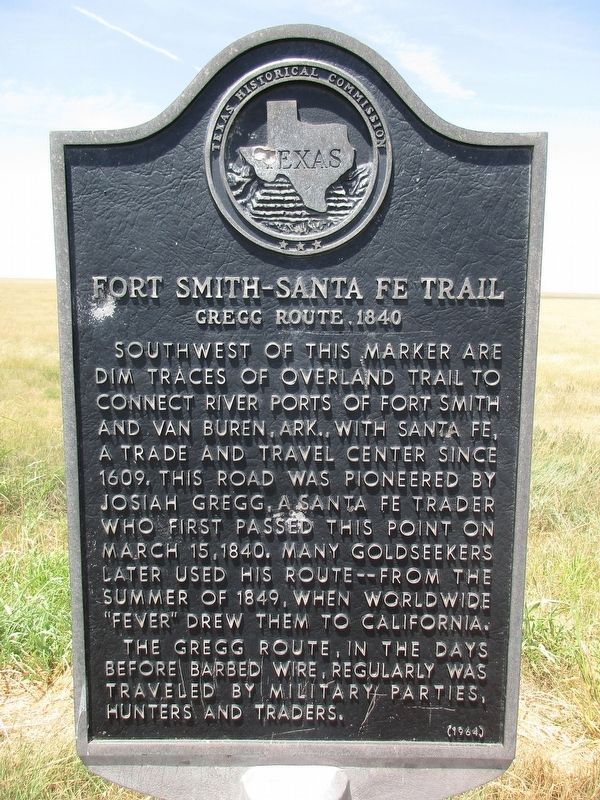
Photographed by Jeff Leichsenring, July 30, 2023
1. Fort Smith-Sante Fe Trail Marker
Erected 1964 by Texas Historical Commission. (Marker Number 2018.)
Topics. This historical marker is listed in this topic list: Roads & Vehicles. A significant historical month for this entry is March 1892.
Location. 35° 20.652′ N, 101° 38.754′ W. Marker is in Amarillo, Texas, in Potter County. It is on State Highway 136 0.6 miles south of Farm to Market Road 293, on the right when traveling south. Touch for map. Marker is in this post office area: Amarillo TX 79108, United States of America. Touch for directions.

Regionally, this marker is on the Texas Panhandle. It is also on the American Great Plains, specifically on the Southern
this page online
Other nearby markers. At least 8 other markers are within 11 miles of this marker, measured as the crow flies: St. Francis Catholic Church Community (approx. 5.7 miles away); Liberty Cemetery (approx. 7 miles away); First Transcontinental Air Service to Texas Panhandle, Amarillo Municipal Airport (approx. 9½ miles away); Gerald Holtom (approx. 9.8 miles away); Did You Know - Americans Killed During (approx. 9.8 miles away); Thomas Cree Homesite (approx. 10.7 miles away); 33rd Anniversary National Convention (approx. 10.7 miles away); First Tree Texas High Plains (approx. 10.7 miles away). Touch for a list and map of all markers in Amarillo.
Photographed by Don Morfe, June 21, 1996
2. Fort Smith Sante Fe Trail Marker
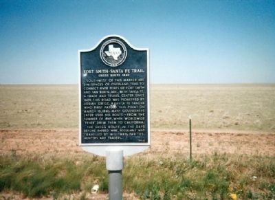
Photographed by Don Morfe, June 21, 1996
3. Fort Smith Sante Fe Trail Marker
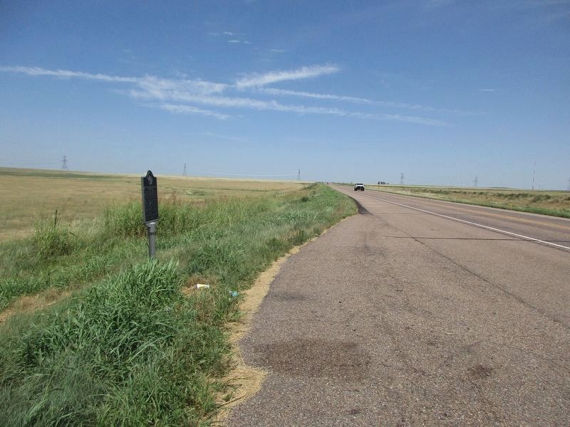
Photographed by Jeff Leichsenring, July 30, 2023
4. Fort Smith-Sante Fe Trail Marker
Credits. This page was last revised on August 9, 2023. It was originally submitted on January 2, 2013, by Don Morfe of Baltimore, Maryland. This page has been viewed 1,723 times since then and 61 times this year. Last updated on August 8, 2023, by Allen Lowrey of Amarillo, Texas. Photos: 1. submitted on August 1, 2023, by Jeff Leichsenring of Garland, Texas. 2, 3. submitted on January 2, 2013, by Don Morfe of Baltimore, Maryland. 4. submitted on August 1, 2023, by Jeff Leichsenring of Garland, Texas. • James Hulse was the editor who published this page.
