Downtown in Hartford in Hartford County, Connecticut — The American Northeast (New England)
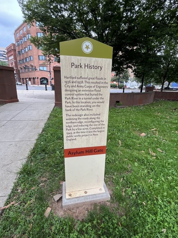
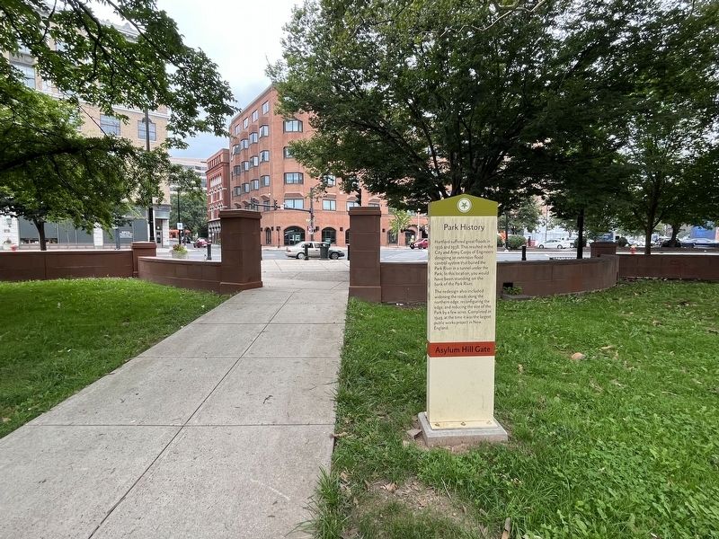
Park History
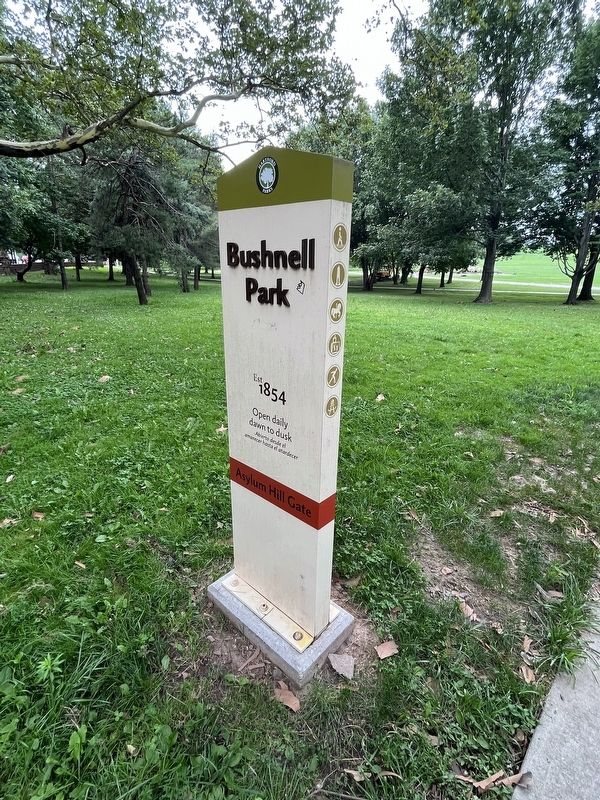
Asylum Hill Gate
— Bushnell Park Est 1854 —
Hartford suffered great floods in 1936 and 1938. This resulted in the City and Army Corps of Engineers designing an extensive flood control system that buried the Park River in a tunnel under the Park. In this location, you would have been standing on the bank of the Park River.
The redesign also included the widening of the road along the northern edge, reconfiguring the edge, and reducing the size of the Park by a few acres. Completed in 1949, at the time it was the largest public works project in New England.
Erected by Hartford Parks.
Topics. This historical marker is listed in these topic lists: Charity & Public Work • Parks & Recreational Areas • Waterways & Vessels. A significant historical year for this entry is 1936.
Location. 41° 46.041′ N, 72° 40.84′ W. Marker is in Hartford, Connecticut, in Hartford County. It is in Downtown. Marker is at the intersection of Asylum Street and Ford Street, on the right when traveling east on Asylum Street. Touch for map. Marker is at or near this postal address: 419 Asylum St, Hartford CT 06103, United States of America. Touch for directions.
Other nearby markers. At least 8 other markers are within walking distance of this marker. Bushnell Park (within shouting distance of this marker); a different marker also named Park History (about 300 feet away, measured in a direct line); Corning Fountain (about 300 feet away); a different marker also named Park History (about 300 feet away); Votes for Women (about 600 feet away); Soldiers and Sailors Memorial Arch (about 600 feet away); Soldiers and Sailors Memorial Arch (about 800 feet away); Israel Putnam (about 800 feet away). Touch for a list and map of all markers in Hartford.
Credits. This page was last revised on August 9, 2023. It was originally submitted on August 9, 2023, by Devry Becker Jones of Washington, District of Columbia. This page has been viewed 61 times since then and 19 times this year. Photos: 1, 2, 3. submitted on August 9, 2023, by Devry Becker Jones of Washington, District of Columbia.


