Burbank in Los Angeles County, California — The American West (Pacific Coastal)
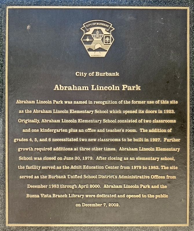
Abraham Lincoln Park
City of Burbank
Photographed by Craig Baker, June 28, 2023
1. Abraham Lincoln Park Marker
Erected 2002 by City of Burbank.
Topics. This historical marker is listed in these topic lists: Education • Parks & Recreational Areas. A significant historical year for this entry is 2002.
Location. 34° 9.9′ N, 118° 19.868′ W. Marker is in Burbank, California, in Los Angeles County. It
this page online

Regionally, this marker is in The Valley (the San Fernando Valley), in Greater Los Angeles, and in the Transverse Ranges. It is also on the American Pacific Coast. Globally, it is in North America, on the Ring of Fire, on the Pacific Rim, in the Western Hemisphere, in the Western World, and in the Anglosphere. Historically, it finds itself in what was once New Spain and also Mexico’s Alta California.
Other nearby markers. At least 8 other markers are within walking distance of this marker: Amelia Earhart (within shouting distance of this marker); Walt’s 100th (approx. half a mile away); The Animation Building (approx. 0.6 miles away); The Ink and Paint Building (approx. 0.6 miles away); The T.E.A.M. Building (approx. 0.6 miles away); The Camera Building (approx. 0.6 miles away); Stage A (approx. 0.6 miles away); Olympic Flagpole (approx. 0.6 miles away).
Photographed by Craig Baker, June 28, 2023
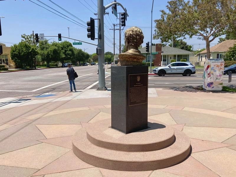
2. Abraham Lincoln Park Marker
Located on the back of the Lincoln pedestal.
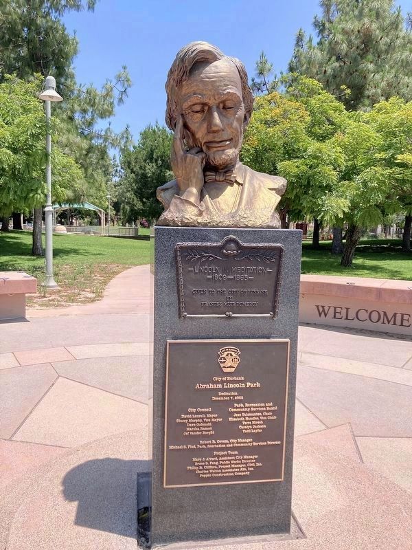
Photographed by Craig Baker, June 28, 2023
3. “Lincoln in Meditation”
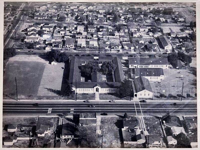
4. Abraham Lincoln Elementary School
This photo is on display inside the library.
Credits. This page was last revised on October 14, 2023. It was originally submitted on August 9, 2023, by Craig Baker of Sylmar, California. This page has been viewed 596 times since then and 81 times this year. Photos: 1, 2, 3, 4. submitted on August 9, 2023, by Craig Baker of Sylmar, California.
