Burbank in Los Angeles County, California — The American West (Pacific Coastal)
Amelia Earhart
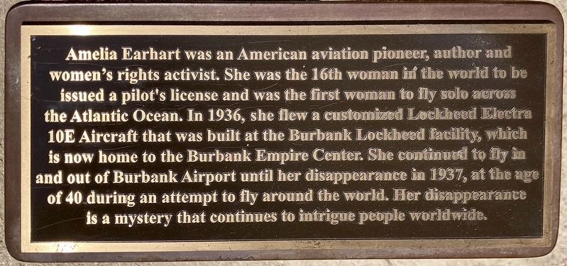
Photographed by Craig Baker, June 28, 2023
1. Amelia Earhart Marker
Topics. This historical marker is listed in these topic lists: Air & Space • Women. A significant historical year for this entry is 1937.
Location. 34° 9.9′ N, 118° 19.824′ W. Marker is in Burbank, California, in Los Angeles County. It is at the intersection of Verdugo Avenue and Buena Vista Street, on the left when traveling west on Verdugo Avenue. Located in Abraham Lincoln Park. Touch for map. Marker is at or near this postal address: 2320 W Verdugo Ave, Burbank CA 91506, United States of America. Touch for directions.

Regionally,
this page online
Other nearby markers. At least 8 other markers are within walking distance of this marker: Abraham Lincoln Park (within shouting distance of this marker); Walt’s 100th (approx. half a mile away); The Animation Building (approx. half a mile away); The Ink and Paint Building (approx. 0.6 miles away); The T.E.A.M. Building (approx. 0.6 miles away); The Camera Building (approx. 0.6 miles away); Stage A (approx. 0.6 miles away); Stages B and C (approx. 0.6 miles away). Touch for a list and map of all markers in Burbank.
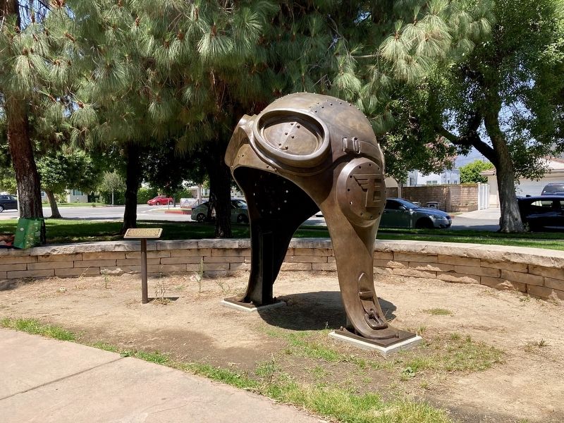
Photographed by Craig Baker, June 28, 2023
2. Amelia Earhart Marker
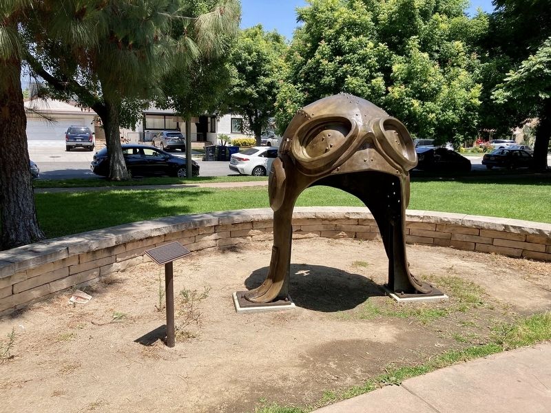
Photographed by Craig Baker, June 28, 2023
3. Amelia Earhart Marker
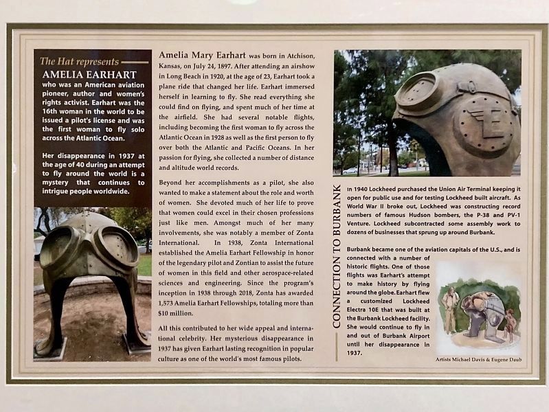
Photographed by Craig Baker, June 28, 2023
4. The Hat Represents Amelia Earhart
This poster is inside the nearby library. Tap on photo to see it full size.
Credits. This page was last revised on August 9, 2023. It was originally submitted on August 9, 2023, by Craig Baker of Sylmar, California. This page has been viewed 366 times since then and 63 times this year. Photos: 1, 2, 3, 4. submitted on August 9, 2023, by Craig Baker of Sylmar, California.
