Crescent Beach in St. Johns County, Florida — The American South (South Atlantic)
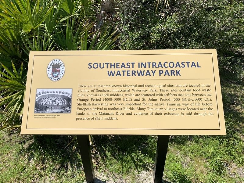
Southeast Intracoastal Waterway Park
Erected by St. Johns County.
Topics. This historical marker is listed in these topic lists: Native Americans • Waterways & Vessels.
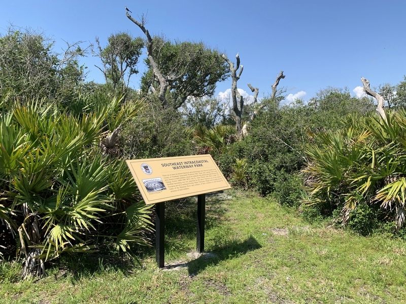
Location. 29° 43.15′ N, 81° 14.146′ W. Marker is in Crescent Beach, Florida, in St. Johns County. Marker can be reached from Florida Route A1A, 3½ miles south of Florida Route 206. Marker is located in the Southeast Intracoastal Waterway Park near the parking area. Touch for map. Marker is at or near this postal address: 8295 FL A1A South, Saint Augustine FL 32080, United States of America. Touch for directions.
Other nearby markers. At least 8 other markers are within 4 miles of this marker, measured as the crow flies. Guarding Matanzas Inlet (within shouting distance of this marker); Crumbling Coquina / Piedra frágil (approx. 0.3 miles away); Closing the Door / Protegiendo el acceso (approx. 0.3 miles away); Fort Matanzas National Monument (approx. 0.3 miles away); Massacre by Menendez (approx. 0.4 miles away); Old World Showdown / Reyes y fe (approx. 0.4 miles away); Massacre of the French (approx. 0.7 miles away); Early Settlers on This Land (approx. 3½ miles away). Touch for a list and map of all markers in Crescent Beach.
Also see . . . Timucuan - Original Florida Natives. (Submitted on August 12, 2023, by Tim Fillmon of Webster, Florida.)
Credits. This page was last revised on August 12, 2023. It was originally submitted on August 12, 2023, by Tim Fillmon of Webster, Florida. This page has been viewed 84 times since then and 31 times this year. Photos: 1, 2. submitted on August 12, 2023, by Tim Fillmon of Webster, Florida.

