Wrightsville in York County, Pennsylvania — The American Northeast (Mid-Atlantic)
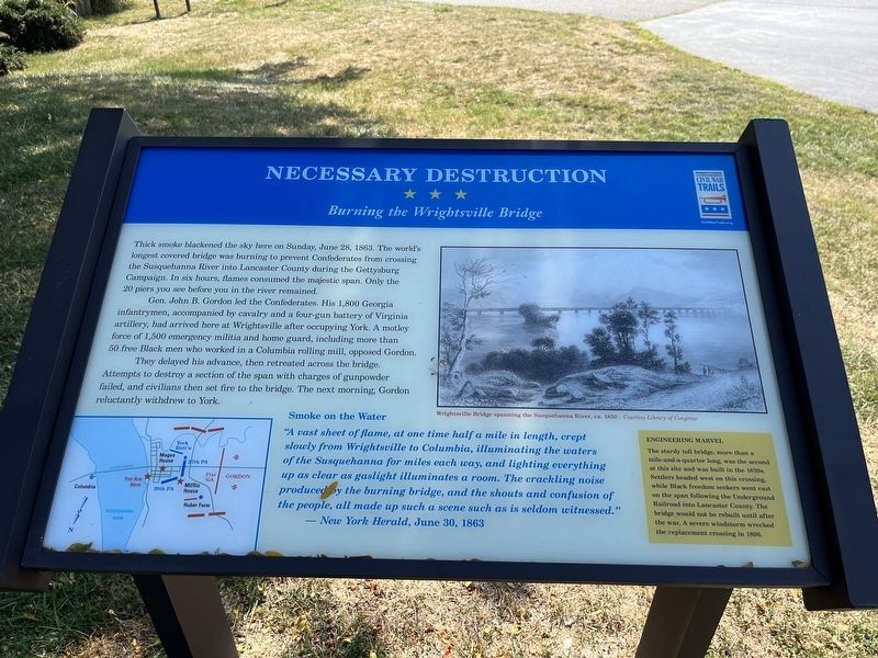
Necessary Destruction
Burning the Wrightsville Bridge
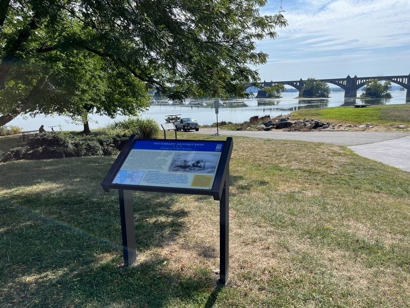
Thick smoke blackened the sky here on Sunday, June 28, 1863. The world's longest covered bridge was burning to prevent Confederates from crossing the Susquehanna River into Lancaster County during the Gettysburg Campaign. In six hours, flames consumed the majestic span. Only the 20 piers you see before you in the river remained.
Gen. John B. Gordon led the Confederates. His 1,800 Georgia infantrymen, accompanied by cavalry and a four-gun battery of Virginia artillery, had arrived here at Wrightsville after occupying York. A motley force of 1,500 emergency militia and home guard, including more than 50 free Black men who worked in a Columbia rolling mill opposed Gordon.
They delayed his advance, then retreated across the bridge. Attempts to destroy a section of the span with charges of gunpowder failed, and civilians then set fire to the bridge. The next morning, Gordon reluctantly withdrew to York.
Smoke on the Water
"A vast sheet of flame, at one time half a mile in length, crept slowly from Wrightsville to Columbia, illuminating the waters of the Susquehanna for miles each way, and lighting everything up as clear as gaslight illuminates a room. The crackling noise produced by the burning bridge, and the shouts and confusion of the people, all made up such a scene such as is seldom witnessed."
— New York Herald, June 30, 1863
Engineering Marvel
The sturdy toll bridge, more than a mile-and-a-quarter long, was the second at this site and was built in the 1830s. Settlers headed west on this crossing while Black freedom seekers went east on the span following the Underground Railroad into Lancaster County. The bridge would not be rebuilt until after the war. A severe windstorm wrecked the replacement crossing in 1896.
Erected by Pennsylvania Civil War Trails.
Topics and series. This historical marker is listed in these topic lists: Abolition & Underground RR • African Americans • Bridges & Viaducts • War, US Civil. In addition, it is included in the Covered Bridges, and the Pennsylvania Civil War Trails series lists. A significant historical date for this entry is June 28, 1863.
Location. 40° 1.717′ N, 76° 31.683′ W. Marker is in Wrightsville, Pennsylvania, in York County. Marker is on Walnut Street, 0.1 miles east of North Front Street, on the left when traveling east. Marker is in the parking area of the Wrightsville Commons Park near the Walnut St. Boat Launch. Touch for map. Marker is at or near this postal address: 420 N Front St, Wrightsville PA 17368, United States of America. Touch for directions.
Other nearby markers. At least 8 other markers are within walking distance of this marker
Related marker. Click here for another marker that is related to this marker. This marker has replaced the linked marker.
Credits. This page was last revised on August 30, 2023. It was originally submitted on September 7, 2022, by Devry Becker Jones of Washington, District of Columbia. This page has been viewed 173 times since then and 22 times this year. Last updated on August 13, 2023, by Mike McKeown of Baltimore, Maryland. Photos: 1, 2. submitted on September 7, 2022, by Devry Becker Jones of Washington, District of Columbia. • Bill Pfingsten was the editor who published this page.

