Uvalde in Uvalde County, Texas — The American South (West South Central)
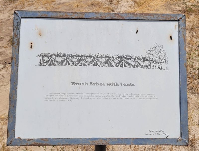
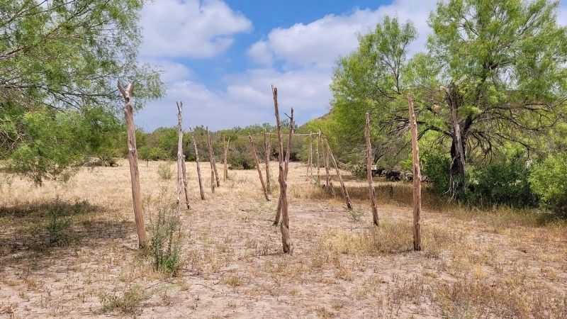
Brush Arbor with Tents
Erected by Fort Inge Historical Park and Barbara & Tom Blair.
Topics. This historical marker is listed in these topic lists: African Americans • Anthropology & Archaeology • Forts and Castles • Wars, US Indian.
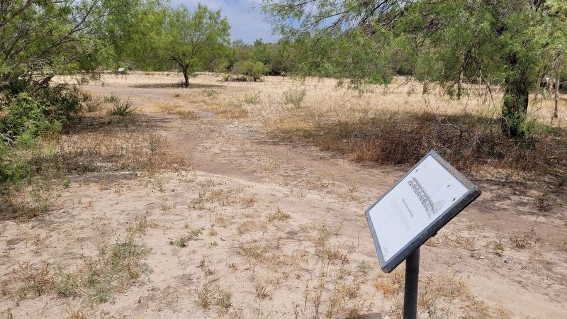
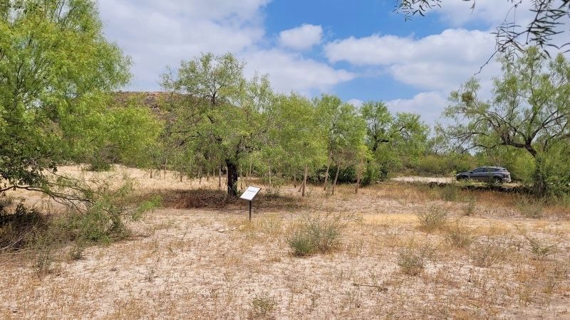
Location. 29° 10.742′ N, 99° 45.933′ W. Marker is in Uvalde, Texas, in Uvalde County. Marker is on County Highway 375, half a mile south of Farm to Market Road 140. The marker is located in the Fort Inge Historical Park. Touch for map. Marker is in this post office area: Uvalde TX 78801, United States of America. Touch for directions.
Other nearby markers. At least 8 other markers are within 3 miles of this marker, measured as the crow flies. Fort Wall (within shouting distance of this marker); Site of Fort Inge (within shouting distance of this marker); Hospital and Commissary (within shouting distance of this marker); Drawing of Fort Inge from this point of view (within shouting distance of this marker); Barracks for the Soldiers (about 300 feet away, measured in a direct line); Picket Quartermaster Storehouse (about 300 feet away); Nicolas Street School (approx. 2.3 miles away); Operation Enduring Freedom Memorial (approx. 2.4 miles away). Touch for a list and map of all markers in Uvalde.
More about this marker. The marker is located in the Fort Inge Historical Park and it does require a small self-serve entry fee to visit. The park is only open on weekends.
Also see . . . Fort Inge. Texas State Historical Association (TSHA)
Fort Inge (Camp Leona) is on the east bank of the Leona River a mile south of Uvalde in southern Uvalde County. The site is dominated by Mount Inge, a 140-foot volcanic plug of Uvalde phonolite basalt.(Submitted on August 13, 2023, by James Hulse of Medina, Texas.)
Credits. This page was last revised on August 13, 2023. It was originally submitted on August 13, 2023, by James Hulse of Medina, Texas. This page has been viewed 70 times since then and 25 times this year. Photos: 1, 2, 3, 4. submitted on August 13, 2023, by James Hulse of Medina, Texas.


