Pike Island in Saint Paul in Ramsey County, Minnesota — The American Midwest (Upper Plains)
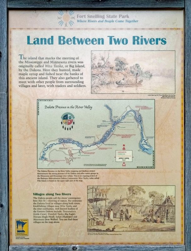
Land Between Two Rivers
Indians Spearing Fish Three Miles Below Fort Snelling,
1846-1848, Seth Eastman
Minnesota Historical Society
The Dakota Presence in the River Valley mapping and database project demonstrates the strong presence of the Dakota and other native groups in the Minnesota and Mississippi river valleys. This is an ongoing project of the Shakopee Mdewakanton Dakota Community. Wita Tanka, today called Pike Island, is found on the upper right part of the map.
Villages along Two Rivers
The Dakota people called the rivers' convergence here Bdo Te—meeting of waters. For centuries the Dakota lived in villages along both rivers. Establishing villages near Wita Tanka and the river confluence, well known leaders of the Eastern Dakota include: Taoyateduta (Little Crow), Wambdi Tanka (Big Eagle), Huyapa (Eagle Head), Sakpe (Shakopee) and Mazomani (Iron Walker). You can find these villages on the map above.
Dakota Village, ca. 1851 Seth Eastman,
W. Duncan and Nivin MacMillan and Afton Historical Society Press
Erected by Minnesota Department of Natural Resources.
Topics. This historical marker is listed in these topic lists: Anthropology & Archaeology • Native Americans.
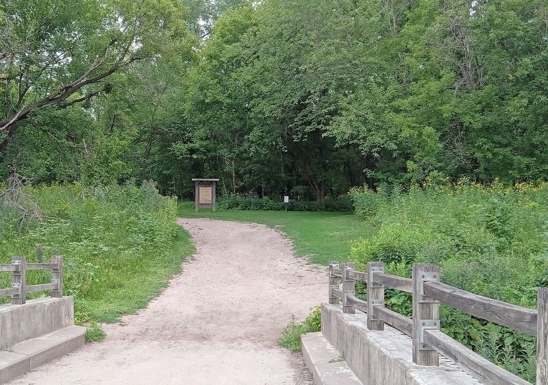
Location. 44° 53.455′ N, 93° 10.63′ W. Marker is in Saint Paul, Minnesota, in Ramsey County. It is on Pike Island. Marker is in Fort Snelling State Park (fee area), at the west end of Pike Island just beyond the footbridge from the mainland. Touch for map. Marker is in this post office area: Saint Paul MN 55116, United States of America. Touch for directions.
Other nearby markers. At least 8 other markers are within walking distance of this marker. River Valleys Take Shape / A Strategic Advantage / Making a Safe Landing (about 600 feet away, measured in a direct line); Wokiksuye K'a Woyuonihan (approx. ¼ mile away); Welcome to Fort Snelling State Park / A Moving Obstacle (approx. ¼ mile away); Three Sisters Garden (approx. ¼ mile away); St. Peters Agency (approx. ¼ mile away); Executions at Fort Snelling (approx. 0.3 miles away); Imprisonment of Dakota Families (approx. 0.3 miles away); US–Dakota War of 1862 (approx. 0.3 miles away).
Credits. This page was last revised on August 20, 2023. It was originally submitted on August 14, 2023, by McGhiever of Minneapolis, Minnesota. This page has been viewed 139 times since then and 87 times this year. Photos: 1, 2. submitted on August 14, 2023, by McGhiever of Minneapolis, Minnesota. • Andrew Ruppenstein was the editor who published this page.

